Unlock hundreds more features
Save your Quiz to the Dashboard
View and Export Results
Use AI to Create Quizzes and Analyse Results

Sign inSign in with Facebook
Sign inSign in with Google

Indus River Valley Civilization Quiz - Think You Can Ace It?

Which ancient river valley does letter A show? Test yourself now!

Difficulty: Moderate
2-5mins
Learning OutcomesCheat Sheet
Paper art illustration showing stylized Indus River Valley map, ancient city ruins, pottery shards on dark blue background

Embark on an epic journey to find out which best describes the Indus River Valley Civilization! Our free, interactive Indus Valley Civilization Quiz tests your mastery of ancient India as you tackle Indus River Valley civilization trivia, practice Ancient India graded practice questions, and even pinpoint letter A to show the location of which ancient river valley on a map. Ready for more? Challenge yourself with an ancient India geography quiz and then jump into our world history quiz for broader context. Whether you're a student gearing up for exams or a history enthusiast, it's time to prove your skills - let's get started!

Which modern-day country encompassed the core region of the Indus River Valley Civilization?
Pakistan
India
Afghanistan
Iran
The heartland of the Indus Civilization lay in the floodplains of the Indus River, which today runs primarily through Pakistan. Excavations at Harappa and Mohenjo-Daro are both located in modern Pakistan, highlighting its central importance. Parts of the civilization extended into northwest India and eastern Afghanistan, but Pakistan contains its most significant urban ruins. Wikipedia
During which time period did the Indus River Valley Civilization flourish?
3300 to 1300 BCE
1000 to 500 BCE
500 to 200 BCE
1500 to 500 BCE
The mature phase of the Indus Civilization is dated from around 3300 to 1300 BCE, with its urban peak between 2600 and 1900 BCE. Earlier stages around 3300–2600 BCE are termed Early Harappan, while the Late Harappan period extends to about 1300 BCE. These dates are established through radiocarbon dating and stratigraphy at key sites. Britannica
Which two major urban centers are associated with the Indus Civilization?
Athens and Sparta
Harappa and Mohenjo-Daro
Babylon and Nineveh
Thebes and Memphis
Harappa and Mohenjo-Daro are the best-known urban sites of the Indus Civilization, showcasing advanced town planning and architecture. Harappa was first excavated in the 1920s, while Mohenjo-Daro, meaning 'Mound of the Dead', revealed extensive public buildings and streets. Both cities feature grid layouts, granaries, and sophisticated drainage systems. Britannica
What writing system did the Indus people use?
Cuneiform
Hieroglyphics
Indus script
Alphabetic Sanskrit
The Indus people employed the undeciphered Indus script, consisting of short inscriptions on seals, pottery, and other artifacts. About 400–600 unique symbols have been identified, but their language and syntax remain a mystery. No bilingual inscription has been found, making it one of the great unsolved puzzles of ancient writing. Wikipedia
What was the primary river system on which the Indus Civilization developed?
Nile River
Tigris-Euphrates
Indus River
Yangtze River
The civilization was centered on the Indus River and its tributaries, which provided fertile floodplains ideal for agriculture. Settlements extended from modern-day Pakistan into northwest India along this river system. The monsoon-fed Indus and its tributary networks supported large-scale farming and urban growth. Britannica
Which characteristic best describes the urban layout of Harappa and Mohenjo-Daro?
Randomly placed huts
Circular villages around a central temple
Grid-like street planning
Buildings made of stone
Both Harappa and Mohenjo-Daro feature a meticulously planned grid of streets running north–south and east–west, dividing the city into rectangular blocks. Brick-built houses often align the streets, and there are distinct citadel and lower town areas. This level of urban planning was unparalleled in the Bronze Age. Britannica
Which crop was widely cultivated by the Indus farmers?
Wheat
Barley
Maize
Millet
Archaeobotanical evidence shows that barley was one of the staple crops cultivated by Indus farmers, along with wheat, peas, and sesame. Barley remains one of the earliest domesticated cereals in South Asia. Maize and millet were not significant in this region until later periods. Wikipedia
Which is NOT a feature of the Indus script?
Pictographic signs
Alphabetic letters
Short inscriptions on seals
Over 400 distinct symbols
The Indus script comprises pictographic and possibly syllabic signs, but it does not form an alphabetic system like Phoenician. Inscriptions are typically short and appear on seals, pottery, and tablets. Scholars have cataloged over 400 distinct signs, but none correspond to a true alphabet. Britannica
What standardized brick ratio did the Indus builders commonly use?
1:1:1
1:2:3
2:3:4
1:3:5
Excavations at Harappa and Mohenjo-Daro reveal that Indus architects used baked bricks in a consistent ratio of 1:2:3 (height:width:length). This standardization indicates centralized control or shared building codes across the civilization. Such uniform bricks helped ensure stability and uniform appearance in constructions. Harappa.com
What public structure used for ritual or communal bathing is found in Mohenjo-Daro?
Ziggurat
Great Bath
Pyramid
Amphitheater
The Great Bath of Mohenjo-Daro is a large, watertight public pool, measuring about 12 by 7 meters and surrounded by a colonnaded corridor. It likely served ritual purification or communal bathing purposes. This structure highlights the importance of water management and public amenities. Wikipedia
Which Mesopotamian civilization did the Indus traders conduct long-distance trade with?
Akkadian
Roman
Maya
Han
Archaeological finds, including Indus seals in Mesopotamian sites and Mesopotamian cylinder seals in the Indus region, indicate trade with the Akkadian city-states (c. 2334–2154 BCE). The Mesopotamians referred to the Indus area as ‘Meluhha.’ Exchange goods included metals, precious stones, and textiles. Britannica
What sanitation feature was characteristic of Indus urban settlements?
Public flush toilets connected to drains
Open pits for waste
No drainage system
Wood-only latrines
Indus cities had sophisticated sanitation, including covered drains along streets and household bathrooms with toilets that emptied into these drains. Many homes had private latrines made of brick or terracotta. This organized waste disposal was unique in the ancient world. Wikipedia
Indus weights were based on which system of measurement?
Metric system
Binary system
Decimal system
Duodecimal system
Standardized Indus weights are typically cubical stones finely carved to precise proportions following a decimal division. The base unit was approximately 13.6 grams, and larger units were multiples of ten. This decimal standard aided fair trade and record-keeping. Ancient History Encyclopedia
Which animal frequently appears on Indus seals, often interpreted as a religious or administrative symbol?
Elephant
Bull
Lion
Horse
The one-horned bull motif is one of the most common images on Indus seals, often called the unicorn bull. It may have had religious or administrative significance, possibly marking ownership or trade commodities. These seals were used to stamp goods and documents. Wikipedia
What language family is often hypothesized but remains unconfirmed for the Indus Civilization?
Indo-European
Sino-Tibetan
Dravidian
Afro-Asiatic
Many scholars propose that a Dravidian language underlies the Indus script because of later Dravidian languages in South India and certain linguistic substrata. However, without decipherment of the script, this remains speculative. Other theories include a lost language isolate. Wikipedia
Which environmental change is most widely cited as a factor in the decline of the Indus Civilization?
Volcano eruption
Monsoon weakening and river drying
Sea level rise flooding cities
Invasion by Persians
Paleoclimatic and sedimentary data indicate a shift in monsoon patterns around 2000–1900 BCE, leading to reduced river flow and agricultural stress. River channels shifted or dried up, undermining the urban economy. While social factors likely contributed, climate change remains the primary environmental hypothesis. Science
Which archaeological evidence indicates direct trade between the Indus Valley and Mesopotamia?
Roman coins found in Harappa
Mesopotamian cylinder seals in Indus sites
Chinese silk in Mohenjo-Daro
Egyptian papyrus scrolls
Excavations at Lothal, Harappa, and other Indus sites have uncovered Mesopotamian cylinder seals and beads bearing Akkadian inscriptions. These finds confirm direct maritime and overland trade links with Sumerian and Akkadian states. They demonstrate a prosperous exchange network in the Bronze Age. Britannica
What semi-precious stone was extensively used in Indus bead-making industries?
Jade
Carnelian
Obsidian
Lapis lazuli
Carnelian, sourced from Gujarat and beyond, was widely used for bead-making and inlay work. Artisans produced thousands of carnelian beads by heating, shaping, and polishing to achieve deep red hues. These beads were a major export item throughout the region. Britannica
What specific architectural feature typifies the so-called 'granary' structures at Harappa?
Underground storage
Elevated platform with ventilation bins
Dome-shaped roof
Wooden pillars
The Harappa granary sits on a raised mud-brick platform and contains multiple parallel compartments with vents at their bases. This design likely facilitated air circulation to keep stored grain dry. While the true function remains debated, many archaeologists agree on its storage role. Harappa.com
Which aspect of Indus cities suggests a relatively egalitarian social structure?
No evidence of distinct palaces or large royal tombs
Massive pyramids built for pharaohs
Hierarchical temple complexes
Records of kings' names
Unlike contemporaneous civilizations, the Indus cities lack palaces, monumental royal burials, or inscriptions naming rulers. Houses across social strata share similar layouts and amenities, and public buildings serve communal functions. This absence of elite architecture suggests lower social stratification. Britannica
Which alloy was prominently used for tools and ornaments by the Indus people?
Iron
Bronze
Steel
Gold
The Indus Civilization was firmly in the Bronze Age, using copper-tin alloys for tools, weapons, and ornamental objects. Bronze metallurgy is evident in chisels, axes, mirrors, and figurines. True ironworking appears only in later South Asian cultures. Wikipedia
The primary function of the Great Bath at Mohenjo-Daro is believed to be:
Military training
Ritual purification
Grain storage
Textile production
The Great Bath’s watertight waterproofing, steps leading into a central pool, and surrounding gallery suggest a ritual or communal bathing purpose. No evidence indicates military or industrial use. Scholars link it to purification ceremonies, possibly of religious significance. Wikipedia
Which archaeological method revealed numerous smaller satellite settlements around main Indus cities?
Local folklore studies
Satellite remote sensing and GIS mapping
Underwater excavation
Literary analysis
Modern satellite imagery and GIS surveys have identified crop marks, depressions, and bounderies consistent with ancient settlement layouts. This technique led to the discovery of over 4,000 sites across South Asia, showing the civilization’s vast reach beyond its major cities. Nature
Approximately how many distinct symbols make up the Indus script?
Around 26
Around 400 to 600
Around 1,200
Over 2,000
Scholars estimate the Indus script contains between 400 and 600 unique signs, though exact counts vary by researcher. The limited length of inscriptions suggests a logo-syllabic system rather than a full syllabary or alphabet. Ongoing computational studies aim to refine these estimates. Wikipedia
Paleoclimatic records indicate that monsoon weakening contributing to urban decline occurred around:
1000 BCE
1900 BCE
500 BCE
2500 BCE
Sediment cores, pollen analysis, and isotopic studies indicate a significant reduction in monsoon rains around 1900 BCE. This shift led to diminished river flow and agricultural productivity, stressing urban centers. The timing aligns with archaeological evidence for urban contraction. Science
0
{"name":"Which modern-day country encompassed the core region of the Indus River Valley Civilization?", "url":"https://www.quiz-maker.com/QPREVIEW","txt":"Which modern-day country encompassed the core region of the Indus River Valley Civilization?, During which time period did the Indus River Valley Civilization flourish?, Which two major urban centers are associated with the Indus Civilization?","img":"https://www.quiz-maker.com/3012/images/ogquiz.png"}

Study Outcomes

  1. Geographic Identification -

    Analyze the geographic location of the Indus River Valley and accurately identify it on a map, including prompts like "Letter A shows the location of which ancient river valley?".

  2. Civilizational Characteristics -

    Understand the social, economic, and political features that best describe the Indus River Valley Civilization and how they compare to other ancient cultures.

  3. Map Interpretation Skills -

    Interpret map-based questions within an ancient India geography quiz to sharpen your spatial reasoning and regional analysis.

  4. Cultural and Technological Achievements -

    Recall key inventions, urban planning techniques, and cultural contributions that highlight the ingenuity of the Indus River Valley Civilization.

  5. Quiz-based Application -

    Apply critical thinking and test-taking strategies to tackle Indus River Valley civilization trivia and graded practice questions with confidence.

Cheat Sheet

  1. Strategic Geography -

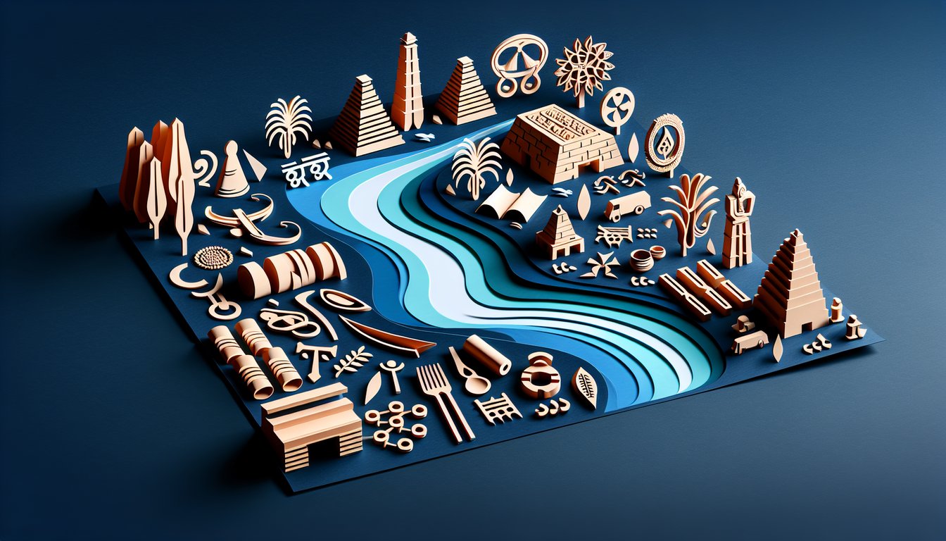
    The Indus River Valley civilization thrived on the fertile floodplains between the Himalayas and the Arabian Sea, sustained by summer monsoons. In many Ancient India geography quizzes, "letter A shows the location of which ancient river valley?" points directly to this region. Such prime positioning allowed cities like Harappa and Mohenjo-Daro to flourish (UNESCO World Heritage Centre).

  2. Advanced Urban Planning -

    When considering which best describes the Indus River Valley Civilization, its hallmark grid layout and sophisticated drainage systems stand out. Streets were laid out in perfect right angles and each house connected to covered brick sewers - a level of municipal engineering unrivaled in its time (Journal of Archaeological Research). Remember: grid + gutters = smart city!

  3. Standardized Weights and Measures -

    Merchants used finely carved stone weights and standardized seals to ensure fair trade, reflecting an organized economy. This consistency is a key topic in Indus River Valley civilization trivia and Ancient India graded practice questions. A quick mnemonic: "Seal, Scale, Trade" helps recall the triad of commerce control.

  4. Extensive Trade Networks -

    Evidence of Indus Valley beads and pottery in Mesopotamia reveals trade links reaching modern-day Iraq as early as 2600 BCE. Such interregional exchange underscores the civilization's economic prowess and global reach (Cambridge University Press). Think of it as the Bronze Age's own Silk Road.

  5. Undeciphered Script & Cultural Legacy -

    The Indus script appears on thousands of seals but remains undeciphered, making it one of archaeology's great puzzles. Studying these artifacts is a fun challenge in any Ancient India quiz, fueling ongoing research from top universities. Keep in mind: signs + seals = unsolved script adventure!

Powered by: Quiz Maker