Unlock hundreds more features
Save your Quiz to the Dashboard
View and Export Results
Use AI to Create Quizzes and Analyse Results

Sign inSign in with Facebook
Sign inSign in with Google
Quizzes > High School Quizzes > Social Studies

Landforms Practice Quiz: Test Your Knowledge

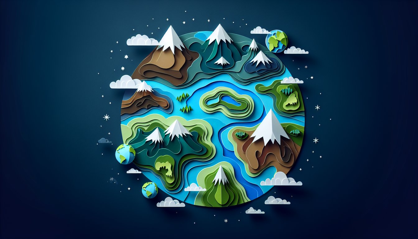
Sharpen geography skills with engaging landform questions

Difficulty: Moderate
Grade: Grade 5
Study OutcomesCheat Sheet
Paper art depicting trivia quiz for high school geography students on Earths diverse landforms.

Which of the following is considered a major landform on Earth?
Urban Area
Shopping Mall
Mountain Range
Agricultural Field
Mountain ranges are prominent natural features formed over millions of years through tectonic processes. In contrast, urban areas, agricultural fields, and shopping malls are human-made and do not represent natural landforms.
Which valley shape is typically formed by glacial erosion?
Canyon
Rift valley
U-shaped valley
V-shaped valley
Glaciers carve out U-shaped valleys due to their broad, powerful movement. In contrast, V-shaped valleys are usually formed by river erosion, making them distinctly different in appearance and origin.
Which of these landforms is a broad area of flat land?
Delta
Basin
Plain
Fjord
Plains are extensive flat areas with minimal elevation change, making them one of the most recognizable landforms. Deltas, basins, and fjords have distinct features and are formed through other geological processes.
Which process directly leads to the formation of a volcano?
Glacial movement
Rising magma from the mantle
Wind erosion
River deposition
Volcanoes are formed when magma from the Earth's mantle rises to the surface and accumulates over time. Other processes such as river deposition, wind erosion, or glacial movement do not result in the formation of volcanoes.
Which landform is defined as an elevated, flat-topped area?
Canyon
Valley
Delta
Plateau
Plateaus are characterized by their elevated, flat-topped surfaces and are typically formed through tectonic uplift and erosion. In contrast, canyons, valleys, and deltas form through different processes and have distinct shapes.
Which type of landform is commonly associated with divergent plate boundaries?
Coastal Plain
Mountain Range
Coral Atoll
Rift Valley
At divergent plate boundaries, the stretching and separation of tectonic plates create rift valleys. Mountain ranges, coastal plains, and coral atolls are primarily formed by other geological phenomena.
Which landform is created primarily by the deposition of sediment at the mouth of a river?
Plateau
Fjord
Basin
Delta
Deltas form when rivers slow down and deposit the sediments they carry as they empty into larger bodies of water. The other landforms listed are not primarily associated with sediment deposition at river mouths.
Which factor most significantly influences the formation of karst landscapes?
Volcanic Eruptions
Glacial Movements
Dissolution of soluble rocks
Wind Erosion
Karst landscapes develop primarily through the chemical dissolution of soluble rocks such as limestone. While volcanic eruptions, glacial movements, and wind erosion can shape other landforms, they do not drive the creation of karst topography.
Which process is a major contributor to the shaping of river valleys?
Soil Compaction
Erosion by moving water
Tectonic Uplift
Volcanic Activity
The force of moving water erodes the soil and rock along riverbanks, carving out river valleys over time. Although tectonic uplift and volcanic activity can alter landscapes, water erosion is the primary process in valley formation.
Which landform results from differential erosion where softer rock erodes faster than surrounding harder rock?
Delta
Plateau
Valley
Inselberg
An inselberg is an isolated rock formation that remains after the surrounding, softer rock has been eroded away, showcasing the effects of differential erosion. Other features like plateaus, valleys, and deltas form through different processes.
What landform is typically created by glacial deposition when a glacier retreats?
Estuary
Floodplain
Moraine
Cliff
Moraines are accumulations of rocks and sediments deposited by retreating glaciers, marking the past movement of ice. Estuaries, cliffs, and floodplains are associated with other natural processes.
Which term best describes a narrow strip of land connecting two larger land areas, often formed by sediment deposition?
Archipelago
Isthmus
Atoll
Peninsula
An isthmus is a narrow land bridge connecting two larger land masses, frequently formed by sediment deposition. In contrast, peninsulas extend into water, while archipelagos and atolls refer to groups of islands and coral formations respectively.
Which landform is characterized as a low point or pass between two higher elevations in a mountain range?
Plateau
Canyon
Saddle
Mesa
A saddle is a depression or pass between two peaks in a mountain range that results from erosion. Plateaus, mesas, and canyons are formed through different processes and do not describe this specific feature.
Which process is most responsible for the creation of coastal features such as sea arches and stacks?
Wave Erosion
Wind Deflation
River Flooding
Tectonic Folding
Wave erosion continuously wears away coastal cliffs, eventually forming distinctive features like sea arches and stacks. Other processes like river flooding, wind deflation, and tectonic folding do not primarily create these coastal phenomena.
What is the primary factor that distinguishes a plateau from a plain?
Soil Fertility
Moisture Content
Elevation, as a plateau is elevated relative to the surrounding area
Proximity to Water Bodies
Plateaus are defined by their high elevation and flat tops, setting them apart from plains which are typically low-lying. Factors such as moisture, soil fertility, or proximity to water do not fundamentally alter the classification between these two landforms.
At a convergent plate boundary, which combination of geological processes most commonly leads to the formation of mountain ranges and deep ocean trenches?
Volcanic deposition without subduction
Erosion by wind and water
Sediment accumulation from river deltas
Compression leading to uplift of mountains and subduction creating trenches
Convergent boundaries involve the collision of tectonic plates where compression causes mountains to uplift and one plate to subduct, forming deep ocean trenches. The other options do not represent the combined tectonic processes responsible for these features.
Which sequence best describes the formation of a landscape beginning with volcanic activity and ending with sediment deposition?
Volcanic eruption, formation of lava flows, weathering and erosion, sediment deposition forming new landforms
River meandering, volcanic eruption, tectonic uplift, then erosion
Tectonic uplift, immediate sediment deposition, followed by erosion, then volcanic eruption
Glacial movement, volcanic eruption, weathering, then tectonic subsidence
The correct sequence starts with volcanic eruptions that produce lava flows, which are then weathered and eroded to yield sediments that form new landforms. The other sequences mix geological processes in an order that is not consistent with established scientific understanding.
Considering the process of isostasy, how might the removal of large volumes of ice during deglaciation affect landforms in formerly glaciated regions?
Volcanic activity will surge as a result of decreased pressure
Coastal erosion will dramatically increase due to temperature changes
The land may experience uplift as the weight is removed from the crust
The land will subside due to loss of ice weight
Isostatic rebound occurs when the heavy weight of ice is removed, allowing the Earth's crust to gradually uplift. The other options misinterpret the effects of deglaciation and do not accurately describe the isostatic response.
How can human activities indirectly accelerate natural erosion processes in various landforms?
Mining exclusively leads to the formation of new mountains
Planting trees significantly increases erosion
The construction of dams stops all erosion processes entirely
Deforestation and urban development can reduce vegetation cover and increase runoff, which accelerates erosion
Human activities like deforestation and urbanization remove protective vegetation, increasing runoff and accelerating erosion. The other statements either exaggerate the effects or incorrectly describe the relationship between human actions and natural erosion.
In the context of coastal geomorphology, which combination of factors best explains the dynamic changes observed in barrier island systems over time?
Tectonic uplift, volcanic activity, and river sedimentation
Glacial retreat, wind erosion, and desertification
Sea level fluctuations, sediment supply, and storm events
Urbanization, agricultural runoff, and groundwater extraction
Barrier islands are highly dynamic systems that are primarily influenced by changes in sea level, the availability of sediment, and the impact of storm events. The other factors listed do not directly account for the rapid and continual changes seen in barrier island landscapes.
0
{"name":"Which of the following is considered a major landform on Earth?", "url":"https://www.quiz-maker.com/QPREVIEW","txt":"Which of the following is considered a major landform on Earth?, Which valley shape is typically formed by glacial erosion?, Which of these landforms is a broad area of flat land?","img":"https://www.quiz-maker.com/3012/images/ogquiz.png"}

Study Outcomes

  1. Identify key landform types and their defining characteristics.
  2. Analyze geomorphological processes that shape Earth's surface.
  3. Compare and contrast various landform features in terms of formation and impact.
  4. Apply geographic terminology to describe landform developments accurately.
  5. Evaluate the role of natural forces in the evolution of diverse landforms.

Landforms Quiz: Study & Review Cheat Sheet

  1. Major landform types - Plains, plateaus, and mountains are the Earth's big three landforms: plains are broad and flat, plateaus are high and level, and mountains rise sharply with steep slopes. Recognizing these helps you identify features on maps and in nature. Landforms & Topographic Maps
  2. Reading topographic maps - Topographic maps use contour lines to depict elevation, turning flat paper into a 3D view of the landscape. By studying the lines' shape and spacing, you can visualize hills, valleys, and plateaus before you ever set foot outside. Landforms & Topographic Maps
  3. Deciphering contour lines - Contour lines link points at the same elevation: tight clusters mean steep slopes, while wide gaps signal gentle terrain. Practicing with different maps makes you a contour-reading pro in no time. Landforms & Topographic Maps
  4. Valleys: V and U shapes - Valleys are low areas carved between hills or mountains by water or ice. Rivers form V-shaped valleys through erosion, while glaciers grind out U-shaped troughs. Student Notes on Landforms
  5. Water-adjacent landforms - Islands are landmasses surrounded by water, peninsulas are flanked on three sides, and bays are curved inlets. Spotting these features helps you understand coastal geography and navigation. Landform Definitions & Examples
  6. Mountain formation - Mountains arise when tectonic plates collide, crumpling Earth's crust upward. This dramatic process gives us towering peaks and rugged landscapes to explore. Landform Definitions & Examples
  7. Plateaus and their origins - Plateaus are high, flat regions shaped by volcanic flows, uplift, or erosion-resistant rocks. Rivers often carve deep gorges into their edges, creating stunning cliffs. Landforms & Topographic Maps
  8. Capes and isthmuses - A cape juts boldly into a body of water, while an isthmus connects two larger landmasses. These features can influence currents, climate, and trade routes. Landform Definitions & Examples
  9. Erosion vs. deposition - Wind, water, and ice wear down rocks in one spot, then deposit sediments in another, shaping valleys, deltas, and dunes. These twin forces constantly remodel our planet. Student Notes on Landforms
  10. Why mapping matters - Mapping landforms connects physical features to human activity, revealing the best places for cities, roads, and farms. It's essential for planning, conservation, and adventure. Mapping Landforms | National Geographic
Powered by: Quiz Maker