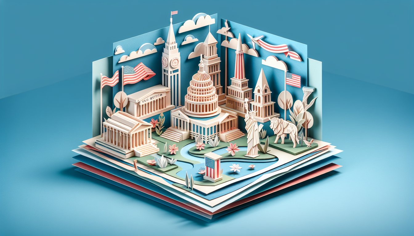
Calling all map lovers and trivia buffs! It's time to dive into our free u.s. geography trivia challenge, where every question invites you to explore states, capitals, landmarks and beyond. Whether you're brushing up with us geography trivia questions or testing your skills on tricky u.s. geography questions, you'll pick up fascinating facts and sharpen your sense of place. Get ready for an interactive us geography quiz that rewards curiosity and celebrates your inner cartographer. Curious about how deep your knowledge goes? Take a sneak peek with our America exploration preview, then leap into the complete states & capitals showdown . Start now and prove you know the U.S. inside and out!
What is the capital of California?
Sacramento
San Francisco
Los Angeles
San Diego
Sacramento has been the capital of California since 1854 and is located in the northern portion of the Central Valley. As the state's seat of government, it hosts the California State Capitol building and numerous governmental offices. Despite being smaller than Los Angeles and San Diego, Sacramento's political importance makes it well known. For more details, see Wikipedia.
Which U.S. state is known as the 'Sunshine State'?
Texas
Florida
Arizona
California
Florida is nicknamed the 'Sunshine State' due to its generally warm climate and abundant sunshine year-round. The nickname was officially adopted in 1970 to promote tourism and highlight its beaches and outdoor activities. Florida's tourism industry heavily markets this moniker. See Wikipedia for more.
Which state is the largest by area?
Texas
Montana
Alaska
California
Alaska is the largest U.S. state by area at over 663,000 square miles. It is more than twice the size of Texas, the second-largest state. Alaska's vast wilderness and low population density contribute to its massive land area. For more information, see Wikipedia.
What river forms the southern border of Texas?
Red River
Rio Grande
Mississippi River
Colorado River
The Rio Grande serves as the southern border between Texas and Mexico for approximately 1,254 miles. It is one of North America's principal rivers and a critical water source for the region. The river's course has historic and geopolitical significance. More details at Wikipedia.
Which state has the nickname 'The Empire State'?
Massachusetts
Virginia
New York
Pennsylvania
New York is known as 'The Empire State,' a nickname reflecting its wealth and resources during the early 19th century. The phrase was popularized by a statement from George Washington and later cemented by trade and travel publications. It symbolizes New York's prominence in commerce and culture. Learn more at Wikipedia.
What is the smallest U.S. state by area?
Hawaii
Rhode Island
Connecticut
Delaware
Rhode Island is the smallest U.S. state by area, measuring just over 1,000 square miles. Despite its size, it has a densely populated coastline and rich colonial history. The state's official nickname is 'The Ocean State.' More details at Wikipedia.
Which Great Lake is entirely within the United States?
Lake Erie
Lake Superior
Lake Huron
Lake Michigan
Lake Michigan is the only one of the five Great Lakes located entirely within the United States. It borders Michigan, Wisconsin, Illinois, and Indiana. The other lakes share borders with Canada. More on this at Wikipedia.
What is the capital city of Oregon?
Eugene
Boise
Portland
Salem
Salem has been the capital of Oregon since 1855 and is located in the Willamette Valley. It houses the Oregon State Capitol building and many state agencies. Despite Portland being the largest city, Salem holds the political center of the state. See Wikipedia for more.
The Four Corners marks the intersection of how many U.S. states?
Five
Four
Three
Six
The Four Corners region is the only point in the United States shared by four states: Arizona, New Mexico, Colorado, and Utah. It is marked by a monument that visitors can stand on. No other place in the U.S. has this four-state junction. More at Wikipedia.
Which U.S. state does not observe daylight saving time?
Arizona
Hawaii
Florida
Alaska
Arizona does not observe daylight saving time, except for the Navajo Nation in the northeast part of the state. This decision was made in 1968 due to the region's hot climate, avoiding extended daylight hours in the evening. Hawaii also does not observe it, but Arizona is the larger and more well-known example. See Wikipedia.
Which mountain range runs along the east coast of the United States?
Sierra Nevada
Appalachian Mountains
Rocky Mountains
Cascade Range
The Appalachian Mountains extend from Newfoundland in Canada down to central Alabama in the United States, running parallel to the east coast. They are among the oldest mountains on Earth, formed over 480 million years ago. The range includes famous subranges like the Blue Ridge and the White Mountains. More information at Wikipedia.
Which U.S. state has the most volcanoes?
Alaska
Washington
California
Hawaii
Alaska has more volcanoes than any other U.S. state, with over 130 volcanoes and volcanic fields. Many are part of the Pacific Ring of Fire and are monitored for seismic activity. Alaska's volcanic activity has significant effects on aviation due to ash clouds. Details at Wikipedia.
Which U.S. state capital is located furthest west?
Juneau
Anchorage
Sacramento
Honolulu
Honolulu, the capital of Hawaii, is located at longitude 157°49?W, making it the westernmost state capital in the U.S. Juneau sits at 134°25?W, which is east of Honolulu despite being in Alaska. Geographic coordinates determine this location trivia. More at Wikipedia.
What is the longest river in the United States?
Colorado River
Missouri River
Mississippi River
Rio Grande
The Missouri River is the longest river in the United States, stretching about 2,340 miles from its headwaters in Montana to its confluence with the Mississippi River in Missouri. The combined Mississippi-Missouri system forms the fourth-longest river system in the world. For more information, see Wikipedia.
Which state is home to the geographic center of the contiguous United States?
Oklahoma
Kansas
Missouri
Nebraska
The geographic center of the contiguous 48 states is near Lebanon, Kansas. A marker and small park commemorate this point. It was calculated in 1918 by the U.S. Coast & Geodetic Survey. More details at Wikipedia.
Which U.S. state has the most national parks?
Arizona
Utah
California
Alaska
California is home to nine national parks, more than any other state. These include Yosemite, Sequoia, Joshua Tree, and Death Valley. The parks protect diverse ecosystems ranging from forests to deserts. See Wikipedia.
The Badlands National Park is located in which state?
South Dakota
North Dakota
Wyoming
Montana
Badlands National Park is situated in southwestern South Dakota. It features sharply eroded buttes, pinnacles, and spires blended with the largest undisturbed mixed grass prairie in the United States. The park protects both geological formations and ancient fossils. More at Wikipedia.
Which state contains the highest point in the continental United States?
Washington
Wyoming
Colorado
California
Mount Whitney in California is the highest point in the contiguous United States at 14,505 feet. It is part of the Sierra Nevada mountain range and is located in Inyo National Forest. Climbers often use the Mount Whitney Trail to reach the summit. Learn more at Wikipedia.
The Chesapeake Bay is primarily associated with which state?
Delaware
Virginia
Maryland
New Jersey
The Chesapeake Bay is most closely associated with Maryland, which has the longest shoreline on the bay. It is the largest estuary in the United States, providing habitat for numerous wildlife species. The bay's health is vital to Maryland's economy and environment. More details at Wikipedia.
Which U.S. state has the longest coastline?
Florida
California
Texas
Alaska
Alaska has the longest coastline of any U.S. state - over 6,640 miles when including its islands. Its shoreline borders the Arctic Ocean, Pacific Ocean, and numerous bays and inlets. No other state comes close, with Florida second at about 1,350 miles. See Wikipedia.
Which desert covers parts of California, Nevada, and Arizona?
Great Basin Desert
Mojave Desert
Sonoran Desert
Chihuahuan Desert
The Mojave Desert spans southeastern California, southern Nevada, and into Arizona and Utah. It is known for landmarks like Death Valley and Joshua Tree National Park. The desert is characterized by extreme temperatures and unique flora such as the Joshua tree. More at Wikipedia.
The city of Tucson is in which U.S. state?
Nevada
California
New Mexico
Arizona
Tucson is the second-largest city in Arizona and is located in the Sonoran Desert. It serves as the county seat of Pima County and is known for its historic sites, university, and desert climate. The city's cultural heritage includes Native American, Spanish, and Mexican influences. Learn more at Wikipedia.
Which U.S. state is nicknamed the 'Land of 10,000 Lakes'?
Ohio
Minnesota
Michigan
Wisconsin
Minnesota is called the 'Land of 10,000 Lakes' because it actually has 11,842 lakes over 10 acres in size. This abundance of lakes contributes to the state's nickname and is a major draw for outdoor recreation. The lakes were formed by glacial activity thousands of years ago. See Wikipedia.
Which U.S. state has both an eastern and a northern panhandle?
Maryland
Pennsylvania
New York
West Virginia
West Virginia has two distinct panhandles: the Northern Panhandle extends between Ohio and Pennsylvania, while the Eastern Panhandle lies between Maryland and Virginia. These irregular borders result from colonial-era land disputes and statehood boundaries. This dual-panhandle configuration is unique to West Virginia. More details at Wikipedia.
Which U.S. state spans four time zones?
Alaska
Florida
Texas
Idaho
Alaska spans four time zones when including the Aleutian Islands: Hawaii - Aleutian Time, Alaska Time, Yukon Time (historical), and Pacific Time (parts of the Aleutians). This complexity arises from the state's vast east-west extent. Few U.S. states cover more than two time zones. See Wikipedia.
0
{"name":"What is the capital of California?", "url":"https://www.quiz-maker.com/QPREVIEW","txt":"What is the capital of California?, Which U.S. state is known as the 'Sunshine State'?, Which state is the largest by area?","img":"https://www.quiz-maker.com/3012/images/ogquiz.png"}
Score6/25
Easy4/7
Medium1/8
Hard1/8
Expert0/2
AI Study Notes
Email these to me
You can bookmark this page to review your notes in future, or fill out the email box below to email them to yourself.
Study Outcomes
Identify State Capitals -
Pinpoint each U.S. state capital by name and location to strengthen your knowledge of American political geography.
Recall Major Landmarks -
Recognize key natural and man-made landmarks across the United States, from the Grand Canyon to the Statue of Liberty.
Locate States on a Map -
Determine the position of each state on a U.S. map using geographical clues and bordering states.
Differentiate Physical Features -
Distinguish between various physical regions like mountain ranges, rivers, and plains throughout the country.
Assess Your Geography Skills -
Evaluate your mastery of U.S. geography trivia with instant scoring and feedback to track improvement.
Cheat Sheet
Great Lakes Mnemonic -
Use the acronym "HOMES" to recall the five Great Lakes - Huron, Ontario, Michigan, Erie, Superior - in order from west to east. This simple trick, endorsed by the Great Lakes Information Network, makes U.S. geography trivia questions about lake borders much easier. Knowing that Michigan wraps around three of these lakes also helps you visualize state boundaries.
Four Corners Intersection -
The Four Corners point is the only place in the U.S. where Arizona, New Mexico, Utah, and Colorado meet at a single spot, verified by the U.S. Geological Survey. Memorize the states clockwise - AZ, UT, CO, NM - to ace any u.s. geography trivia about multi-state junctions. Visiting the site can be a fun way to physically stand in four states at once!
Regional Capital Grouping -
Divide state capitals by region (New England, Southeast, Midwest, etc.) and learn them in clusters, a method supported by various state secretary websites. For example, picture Boston and Concord sharing a snowy New England tea party to lock in MA and NH. Grouping this way turns u.s. geography questions into mini-stories rather than isolated facts.
Major River Systems -
The combined Mississippi - Missouri - Ohio river system drains over 40% of the continental U.S., according to the U.S. Geological Survey. Remember the flow with a phrase like "My Mighty Ox" (Missouri → Mississippi → Ohio) to tackle us geography trivia questions on watershed order. Mapping each tributary's path deepens your grasp of interior drainage patterns.
Contiguous Time Zones -
The lower 48 states span four primary time zones: Pacific, Mountain, Central, Eastern - often memorized with "Please Make Cornbread Early." NOAA charts show most of Arizona skips daylight saving time, so watch for that trivia twist. Recognizing longitudinal boundaries of each zone is key for rapid quiz responses.