Unlock hundreds more features
Save your Quiz to the Dashboard
View and Export Results
Use AI to Create Quizzes and Analyse Results

Sign inSign in with Facebook
Sign inSign in with Google

Take the Ultimate US Geography Trivia Quiz!

Explore United States Geography Trivia Questions and Test Your Eastern US Knowledge!

Difficulty: Moderate
2-5mins
Learning OutcomesCheat Sheet
Teal backdrop featuring paper cut US map landmarks capitals quiz elements in layered paper art style

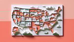
Ready to prove your mastery of us geography trivia? The Ultimate US Geography Trivia Quiz invites map lovers and curious minds to tackle united states geography trivia questions spanning state capitals, famous landmarks, and lesser-known locations nationwide. Learn to pinpoint each state on a blank map, match capitals with their states, and identify iconic sites from the Statue of Liberty to the Grand Canyon. Feel the thrill as you cruise through our Eastern US quiz section, then race across deserts and plains. Kick off with our us 50 states quiz , explore deeper terrain in an advanced u.s. geography trivia test, and discover bonus puzzles at geography-quiz.us. Whether you're studying for school, planning a road trip, or simply love maps, start now and challenge friends to beat your high score!

Which US state is the largest by area?
Alaska
Montana
Texas
California
Alaska covers over 663,268 square miles, making it the largest state by area. Texas, the second largest, has about 268,596 square miles. California and Montana are significantly smaller in comparison. Alaska's vast size is due to its extensive mainland territory and numerous islands.
Which state is known as the "Sunshine State"?
Texas
Arizona
Florida
California
Florida is widely nicknamed the Sunshine State due to its abundant sunshine year-round. The nickname appears on state license plates and promotional materials. California also enjoys sunny weather but is called the Golden State. Arizona's nickname is the Grand Canyon State and Texas is the Lone Star State.
What is the capital of New York State?
Syracuse
Albany
New York City
Buffalo
Albany has been the capital of New York since 1797 and sits on the west bank of the Hudson River. New York City is the largest city but not the state capital. Buffalo and Syracuse are major population centers but do not serve as the administrative seat. Albany's historic architecture reflects its long status as capital.
Which US state is an archipelago of over 130 islands?
Hawaii
Washington
California
Florida
Hawaii consists of more than 130 islands in the central Pacific, with eight main islands including Hawai'i, Maui, O'ahu, and Kaua'i. No mainland state has a comparable island chain. This archipelago was formed by volcanic activity over millions of years. Visitors can explore unique ecosystems on each island.
What river forms part of the border between Texas and Mexico?
Colorado River
Pecos River
Rio Grande
Red River
The Rio Grande flows over 1,800 miles from Colorado to the Gulf of Mexico and forms much of the Texas - Mexico border. The Red River marks part of the Texas - Oklahoma border, while the Pecos and Colorado rivers run entirely within the United States. The Rio Grande's watershed and flow are vital for both American and Mexican communities.
Which state is called the "Lone Star State"?
Arizona
Texas
Oklahoma
New Mexico
Texas is nicknamed the Lone Star State in honor of its former status as an independent republic. The single star on the Texas flag symbolizes this independence and pride. The nickname is widely used on state symbols, license plates, and promotional materials. No other state uses this emblematic star.
Which of the Great Lakes is the largest by surface area?
Lake Erie
Lake Huron
Lake Superior
Lake Michigan
Lake Superior spans about 31,700 square miles, making it the largest of the five Great Lakes by surface area. Lake Michigan is the second largest by area. Lakes Huron and Erie are smaller, while Lake Ontario is the smallest Great Lake. Superior also holds roughly 10% of the world's fresh surface water.
Which state is known as the "Empire State"?
New Jersey
New York
Massachusetts
Pennsylvania
New York earned the nickname Empire State in the 19th century, reflecting its wealth, resources, and strategic importance. The term is now prominently displayed on New York license plates. New Jersey, Pennsylvania, and Massachusetts each have unique nicknames but none use Empire State. The moniker highlights New York's early economic power.
Which two states meet at the Four Corners Monument alongside Utah and Colorado?
Arizona & Nevada
New Mexico & Texas
Arizona & New Mexico
Arizona & Texas
The Four Corners Monument is the only point in the US shared by four states: Utah, Colorado, Arizona, and New Mexico. Visitors can stand in all four at once. It is managed by the Navajo Nation, Ute Mountain Ute Tribe, Ute Indian Tribe of the Uintah and Ouray Reservation, and Hopi Tribe. No other point in the US has this quadripoint.
What is the major mountain range that extends from New Mexico through Maine?
Sierra Nevada
Rocky Mountains
Cascade Range
Appalachian Mountains
The Appalachian Mountains stretch approximately 2,000 miles from central Alabama through New England and into Canada. They are among the oldest mountains in North America. The Rockies, Sierra Nevada, and Cascades are all western ranges. The Appalachians influence eastern US climate and river systems.
Which US state has the most time zones?
California
Florida
Texas
Alaska
Alaska spans multiple time zones including Alaska Standard Time and Hawaii - Aleutian Standard Time. The Aleutian Islands observe the Hawaii - Aleutian zone, and parts of southeastern Alaska follow Pacific Time. No other state covers more than one standard time zone. This results from Alaska's vast east - west extent.
Which city is the southernmost point in the contiguous United States?
New Orleans
Miami
Key West
San Diego
Key West, Florida, lies at about 24.5551° N latitude and is the southernmost city in the contiguous US. A concrete buoy marks the location for tourists. Miami is farther north, as are New Orleans and San Diego. The Dry Tortugas are farther south but are not an incorporated city.
Which U.S. state has the longest coastline?
Hawaii
Florida
California
Alaska
Alaska's combined mainland and island shoreline stretches over 33,900 miles. This far exceeds the coastline lengths of Florida, California, and Hawaii. The measurement includes bays, inlets, and the state's many islands. Alaska's extensive coast supports diverse marine ecosystems.
Which desert spans parts of California and Nevada?
Sonoran Desert
Mojave Desert
Great Basin Desert
Chihuahuan Desert
The Mojave Desert covers approximately 47,877 square miles across southeastern California and southern Nevada. It is home to Death Valley and Joshua Tree National Park. The Sonoran Desert lies mainly in Arizona and Mexico. The Great Basin Desert is farther north in Nevada and Utah.
What is the longest tributary of the Mississippi River?
Red River
Arkansas River
Ohio River
Missouri River
The Missouri River stretches about 2,341 miles from its headwaters in Montana to its confluence with the Mississippi in St. Louis. It is the longest tributary of the Mississippi River. The Ohio River has greater discharge but a shorter length. The Arkansas and Red Rivers are also major tributaries but rank below the Missouri in length.
Which US state does NOT border the Mississippi River?
Georgia
Arkansas
Illinois
Alabama
Ten states from Minnesota to Louisiana border the Mississippi River. Georgia's river systems drain to the Atlantic or Gulf via different watersheds rather than the Mississippi. Alabama's Mobile River connects to the Gulf. Illinois and Arkansas both have significant Mississippi frontage.
Which mountain in the contiguous United States has the greatest topographic prominence?
Longs Peak
Mount Rainier
Mount Whitney
Mount Elbert
Mount Rainier in Washington has a topographic prominence of 13,210 feet, making it the most prominent peak in the contiguous US. Prominence measures how much a mountain rises above surrounding terrain. Mount Whitney is the tallest point in the Lower 48 but less prominent. Mount Elbert and Longs Peak are prominent but rank below Rainier.
Which national park is home to the tallest sand dunes in North America?
Death Valley National Park
White Sands National Park
Great Sand Dunes National Park & Preserve
Joshua Tree National Park
Great Sand Dunes National Park & Preserve in Colorado contains dunes reaching up to 750 feet tall, the highest in North America. The dunes formed from sand carried by the Rio Grande and wind patterns across the San Luis Valley. Death Valley and White Sands have dunes but neither approach that height. Joshua Tree features rock formations rather than tall sand dunes.
In which state does the easternmost point lie south of its westernmost point?
Florida
Alabama
Georgia
South Carolina
Florida's panhandle extends west but lies north of the southern tip of its peninsula. This causes the easternmost point in the panhandle to be north of the westernmost point on the peninsula, reversing usual east - west latitude patterns. No other state exhibits this alignment. It's a unique geographic quirk of Florida.
Which city is the northernmost municipality in the United States?
Nome, Alaska
Juneau, Alaska
Anchorage, Alaska
Utqia?vik, Alaska
Utqia?vik, formerly known as Barrow, is located at about 71.3° N latitude, making it the northernmost municipality in the US. No other city or town in Alaska lies farther north. Its remote Arctic location influences the community's culture and environment. Utqia?vik experiences months of polar night and midnight sun each year.
What is the time difference between the easternmost and westernmost points of the contiguous United States?
5 hours
2 hours
4 hours
3 hours
The contiguous US spans four standard time zones: Eastern, Central, Mountain, and Pacific. The difference between Eastern Time and Pacific Time is three hours. This reflects the country's width across approximately 57 degrees of longitude. Daylight saving does not change the standard zone count.
Which state does the Continental Divide of North America NOT pass through?
Colorado
Washington
Montana
New Mexico
The Continental Divide runs through New Mexico, Colorado, Wyoming, Montana, and Idaho. It does not pass through Washington state. That divide separates watersheds draining into the Pacific from those draining into the Atlantic and Arctic Oceans. Washington's major divide is the Cascade Range crest.
Which US state has the highest average elevation?
Wyoming
New Mexico
Utah
Colorado
Colorado's mean elevation is about 6,800 feet above sea level, the highest of any US state. Its extensive Rocky Mountain terrain contributes to this high average. Wyoming, Utah, and New Mexico also have high elevations but rank below Colorado. This average accounts for valleys and plains as well as mountain peaks.
Which US state has the fewest counties?
Delaware
Alaska
Hawaii
Rhode Island
Delaware is divided into just three counties - New Castle, Kent, and Sussex - the fewest of any state. Hawaii's five counties include city - county consolidations. Rhode Island has five counties but no county governments. Alaska uses boroughs and census areas rather than traditional counties.
What town in Kansas is recognized as the geographic center of the contiguous United States?
Smith Center
Hays
Lebanon
Topeka
Lebanon, Kansas, is marked by a monument as the geographic center of the contiguous US. This point was calculated by the US Coast and Geodetic Survey in 1918. Visitors can stop at the marker just west of town. No other town claims this specific geographic distinction.
0
{"name":"Which US state is the largest by area?", "url":"https://www.quiz-maker.com/QPREVIEW","txt":"Which US state is the largest by area?, Which state is known as the \"Sunshine State\"?, What is the capital of New York State?","img":"https://www.quiz-maker.com/3012/images/ogquiz.png"}

Study Outcomes

  1. Identify State Locations -

    After completing this US geography trivia quiz, you will be able to pinpoint all 50 states on a US map quickly and accurately.

  2. Recall State Capitals -

    You'll confidently remember the capital city of each state, enhancing your knowledge of united states geography trivia questions.

  3. Recognize Major Landmarks -

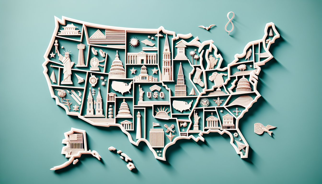
    You will identify key US landmarks and associate them with their respective states, enriching your trivia skills with engaging geographic details.

  4. Differentiate Regional Characteristics -

    By focusing on the eastern US quiz section, you can compare and contrast the unique geographic and cultural traits of eastern states.

  5. Analyze Geographic Patterns -

    You'll understand spatial relationships and patterns across the US, such as regional clusters and proximity of bordering states.

  6. Apply Fun Facts to Enhance Retention -

    Integrate surprising trivia and fun facts into your memory, making it easier to recall information in future geography-quiz.us challenges.

Cheat Sheet

  1. US Census Regions & Divisions -

    The U.S. Census Bureau splits the country into four regions and nine divisions - Northeast, Midwest, South, and West - to help you group states logically. Reviewing this classification on census.gov can speed up your answers in us geography trivia. Try sketching a color-coded map to solidify how each state fits into these regions.

  2. State Capitals & Mnemonic Songs -

    Coupling each capital with a catchy tune like "Fifty Nifty United States," used in educational programs, embeds them in your memory through melody and rhythm. As a study trick from the University of Texas at Austin, try singing "Juneau in Alaska, shining in the sun" to lock in those pairs. This playful method makes recalling capitals in a timed geography-quiz.us challenge feel effortless.

  3. Latitude, Longitude & Time Zones -

    Understanding latitudes (parallels) and longitudes (meridians) with the formula Δlong°×cos(lat)≈distance helps you estimate how far apart locations are. The National Oceanic and Atmospheric Administration (NOAA) provides time zone maps to connect coordinates with local times. Practice by pinpointing three cities - Los Angeles (118°W, 34°N), Chicago (87°W, 42°N), and Miami (80°W, 25°N) - to test your spatial skills.

  4. Major Physical Features -

    The U.S. Geological Survey highlights features like the Rocky Mountains, Appalachian Range, Mississippi River, and Great Lakes as anchors for state geography. Associating each landmark with its nearest states (e.g., the Rockies span Colorado, Wyoming, Montana) creates mental landmarks for quick recall. Visual flashcards of topography maps can reinforce these connections in just a few minutes daily.

  5. Eastern US Regional Sub-quizzes -

    Break the eastern U.S. into New England (ME, NH, VT, MA, CT, RI), Mid-Atlantic (NY, NJ, PA, DE, MD), and Southeastern groups (VA, WV, NC, SC, GA, FL) for targeted practice. Creating mini quizzes for each sub-region, a tactic supported by education researchers at Johns Hopkins University, boosts retention faster than random state picks. Review one region per study session to build confidence and precision in united states geography trivia questions.

Powered by: Quiz Maker