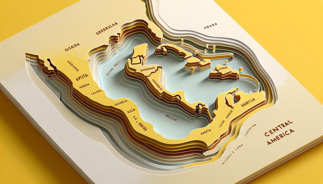
Ready to embark on the ultimate central america map quiz adventure? Whether you're brushing up for school, planning your next trip, or simply love geography, this free map quiz on Central America will sharpen your skills as you pinpoint every country - from Guatemala's highlands to Costa Rica's coast. Expect a fun central america map test designed to challenge beginners and experts alike, complete with instant feedback and performance insights. Feeling confident? Dive into our interactive Central America quiz or try the immersive map quiz central america now to score 100%! Let's see what you've got - start today!
Which country is located directly south of Mexico?
Guatemala
Honduras
Belize
El Salvador
Guatemala lies immediately south of Mexico and shares a long border with it. It stretches from the Pacific Ocean to the Caribbean Sea. Both Honduras and El Salvador are situated further southeast, while Belize is to the east. More about Guatemala.
Which country borders the Caribbean Sea south of Belize?
Guatemala
Honduras
Nicaragua
Costa Rica
Guatemala has a short Caribbean coastline that lies directly south of Belize. Honduras and Nicaragua both have longer Caribbean coasts but are located further to the east. Costa Rica only has a Caribbean border further south in the isthmus. More about Guatemala’s geography.
Which country has coastlines on both the Pacific Ocean and the Caribbean Sea, and its capital is Managua?
Nicaragua
Guatemala
Honduras
Costa Rica
Nicaragua is bordered by both the Pacific Ocean to the west and the Caribbean Sea to the east. Its capital city, Managua, lies near the southwestern shore of Lake Managua. Neither Guatemala nor Honduras has Managua as a capital, and Costa Rica’s capital is San José. More on Nicaragua.
Which country is the southernmost in Central America?
Panama
Costa Rica
Nicaragua
Honduras
Panama occupies the southeastern end of the Central American isthmus, connecting to South America via the Darién Gap. Costa Rica lies just north of Panama, followed by Nicaragua and Honduras further up. Its location makes it the southernmost nation in the region. More about Panama.
What is the capital city of Costa Rica?
San José
Tegucigalpa
Panama City
Managua
San José is the capital and largest city of Costa Rica, situated in the Central Valley region. Tegucigalpa is the capital of Honduras, Panama City is the capital of Panama, and Managua is the capital of Nicaragua. San José serves as the political, economic, and cultural center of Costa Rica. More about San José.
Which country has the smallest land area in Central America?
El Salvador
Belize
Honduras
Costa Rica
El Salvador is the smallest country by area in Central America at around 21,041 square kilometers. Belize, while sparsely populated, is larger in land area. Honduras and Costa Rica each cover substantially more territory. More on Central American sizes.
Which country borders both Guatemala and Nicaragua?
Honduras
Costa Rica
El Salvador
Belize
Honduras lies to the east of Guatemala and to the northwest of Nicaragua, sharing land borders with both. El Salvador borders only Guatemala and Honduras, while Belize borders only Guatemala and Costa Rica borders only Nicaragua and Panama. More about Honduras.
The highest elevation in Central America is Volcán Tajumulco. In which country is it located?
Guatemala
Honduras
Nicaragua
El Salvador
Volcán Tajumulco stands at 4,220 meters and is the highest point in both Guatemala and Central America. It is part of the Sierra Madre de Chiapas mountain range in western Guatemala. Neither Honduras, Nicaragua, nor El Salvador reaches comparable elevations. More on Tajumulco.
The Panama Canal connects the Atlantic and Pacific Oceans through which country?
Panama
Costa Rica
Colombia
Nicaragua
The Panama Canal is an artificial waterway that cuts across the Isthmus of Panama, linking the Atlantic and Pacific Oceans. It was completed in 1914 and remains entirely within Panamanian territory. Costa Rica, Colombia, and Nicaragua do not host this canal. More about the Panama Canal.
Which country shares the shortest land border with Belize?
Mexico
Guatemala
Honduras
El Salvador
Belize’s border with Mexico is approximately 276 kilometers long, making it the shortest land boundary Belize has. Its border with Guatemala is slightly longer, and it does not share borders with Honduras or El Salvador. More about Belize’s borders.
Which Central American country has the most UNESCO World Heritage Sites?
Guatemala
Honduras
Costa Rica
Panama
Guatemala leads Central America with several UNESCO World Heritage Sites, including Antigua Guatemala and Tikal National Park. Honduras, Costa Rica, and Panama each have fewer designated sites. The deep historical and natural diversity of Guatemala explains its top ranking. UNESCO on Guatemala.
Which country’s currency is called the Córdoba?
Nicaragua
Guatemala
Costa Rica
El Salvador
The Nicaraguan Córdoba (NIO) is the official currency of Nicaragua. Guatemala uses the Quetzal, Costa Rica uses the Colón, and El Salvador uses the US Dollar. The Córdoba was introduced in 1912 to replace the peso. More on the Córdoba.
Which of the following countries does NOT share a border with Honduras?
Costa Rica
Guatemala
El Salvador
Nicaragua
Honduras shares land borders with Guatemala, El Salvador, and Nicaragua. Costa Rica lies further south and only borders Nicaragua and Panama. Therefore, Costa Rica does not share a boundary with Honduras. More on Honduras borders.
The Gulf of Chiriquí is located off the coast of which country?
Panama
Costa Rica
Nicaragua
Honduras
The Gulf of Chiriquí lies on the Pacific coast of western Panama in the province of Chiriquí. Its islands and marine areas are known for biodiversity and national parks. Neighboring countries do not include this gulf in their territorial waters. More on the Gulf of Chiriquí.
Which is the only Central American country whose national flag features an eagle?
Guatemala
Belize
El Salvador
Honduras
Guatemala’s flag displays the resplendent quetzal and a scroll, but its coat of arms includes crossed rifles and bay laurel branches rather than an eagle. However, Belize’s coat of arms features men but no eagle, and neither El Salvador nor Honduras use an eagle. Guatemala remains unique for its quetzal, not an eagle. More on Guatemala’s flag.
Which Central American country’s national tree is the Montezuma cypress (Taxodium mucronatum)?
Guatemala
Costa Rica
Panama
Honduras
The Montezuma cypress is designated as the national tree of Guatemala, known locally as 'ahuehuete.' It often grows in the country’s temperate highlands and has cultural significance dating back to the Maya. No other Central American nation has this species as its national tree. More on Taxodium mucronatum.
The Puente de la Amistad (Friendship Bridge) connects which two countries?
Costa Rica and Panama
Guatemala and Honduras
El Salvador and Honduras
Nicaragua and Honduras
The Puente de la Amistad spans the Sixaola River and links Costa Rica to Panama. It was inaugurated in 2003 to facilitate trade and tourism between the two countries. Other national borders in the region have different crossing points. More on the Friendship Bridge.
Which Central American country recognizes the US Dollar as legal tender alongside its own currency?
Panama
Guatemala
Nicaragua
Honduras
Since 1904, Panama has used the US Dollar alongside the Balboa, its own currency which is pegged 1:1 to the dollar. No other Central American nation maintains the US Dollar as an official currency in this manner. This arrangement simplifies Panama’s international trade and finance. More on Panama’s currency.
0
{"name":"Which country is located directly south of Mexico?", "url":"https://www.quiz-maker.com/QPREVIEW","txt":"Which country is located directly south of Mexico?, Which country borders the Caribbean Sea south of Belize?, Which country has coastlines on both the Pacific Ocean and the Caribbean Sea, and its capital is Managua?","img":"https://www.quiz-maker.com/3012/images/ogquiz.png"}
Study Outcomes
Identify Central American Nations -
Recognize and name all seven Central American countries on a map, reinforcing your geographic knowledge of the region.
Locate Countries on the Map -
Pinpoint each nation's exact location between Mexico and South America, enhancing your spatial awareness in the central america map quiz.
Distinguish Geographic Borders -
Differentiate international boundaries and coastlines to understand how Central American countries connect and interact.
Analyze Spatial Relationships -
Examine how countries relate to one another geographically, including adjacency and proximity to major water bodies.
Compare Country Sizes and Positions -
Assess the relative area and placement of each nation, promoting a deeper understanding of regional scale and layout.
Apply Knowledge to Blank Maps -
Transfer your understanding to unlabeled maps by accurately filling in country names and borders, solidifying your map-reading skills.
Cheat Sheet
Seven Nations Mnemonic -
Use a simple mnemonic like "Big Green Snakes Hop Near Calm Pools" to recall Belize, Guatemala, El Salvador, Honduras, Nicaragua, Costa Rica, and Panama in sequence. This memory device is recommended by geography curricula at institutions like National Geographic Education. Practice it before each central america map quiz to reinforce country order.
Coastal Orientation -
Distinguish the Pacific and Caribbean shorelines by drawing a blank outline and shading the Pacific side in one color, Caribbean in another. University of Texas libraries suggest this visual approach for any map quiz on Central America. Recognizing which countries face which ocean streamlines your Central America map test accuracy.
Capitals Placement -
Associate each country with its capital - Guatemala City for Guatemala, San Salvador for El Salvador, etc. - by placing labeled dots on a blank map. This technique, supported by the CIA World Factbook, improves recall during a map quiz Central America format. Regular drills connecting names to locations will elevate your 100% score potential.
Topographic Highlights -
Identify the Cordillera mountain ranges and lowland plains using shaded relief diagrams; resources from the US Geological Survey map these features. Knowing elevation patterns helps you predict country shapes and borders in a central america map quiz. It's a proven strategy in academic geography courses.
Bordering Neighbors -
Map out how Mexico borders Guatemala and Belize to the north, and how Panama connects to Colombia in the south. Referencing official maps from the United Nations or National Geographic ensures precision. When you encounter a central america map test, visualizing these links speeds up country identification.