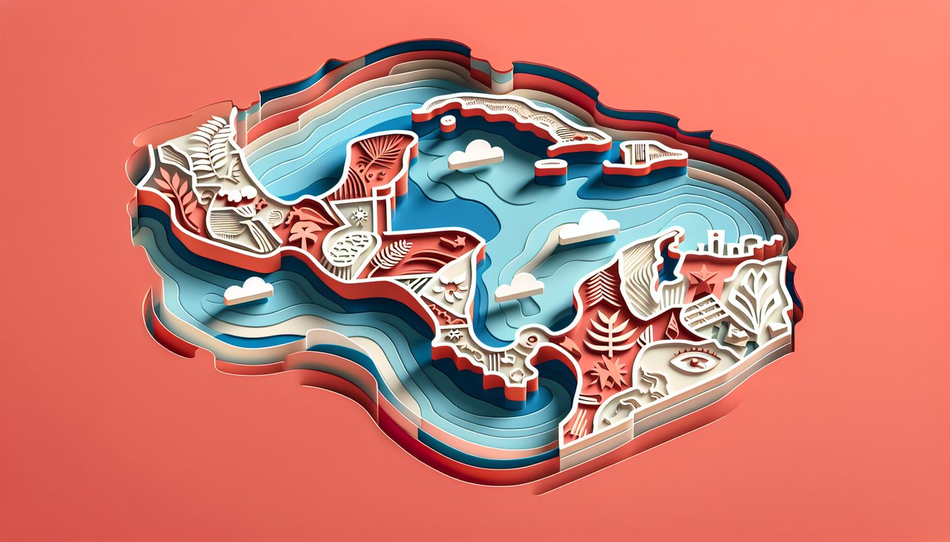
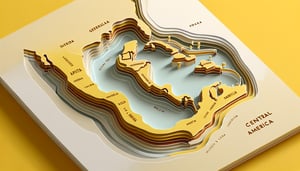
Embark on a thrilling map quiz central america adventure and discover how well you know each nation nestled between North and South America. This interactive central america quiz not only challenges you to identify every country but also tests your grasp of capital cities and geographic borders. Perfect for geography buffs, students, or anyone eager to level up their map skills, you'll tackle a map quiz on central america, explore our map of central america quiz with instant feedback, and dive into a central america physical map quiz section. Ready to prove your prowess? Take the free Central America quiz or sharpen your strategy in our detailed central america map quiz now - let's get pinning!
Which country shares the longest land border with Guatemala?
Mexico
Honduras
Belize
El Salvador
Guatemala�s longest border is with Mexico, stretching over 950 kilometers along its western and northern edges. The shorter borders with Belize, Honduras, and El Salvador are all under 300 kilometers each. This is why Mexico is the correct answer. Learn more.
Which country in Central America borders only the Pacific Ocean and has no Caribbean coastline?
El Salvador
Nicaragua
Costa Rica
Panama
El Salvador is the only Central American country whose entire coastline lies on the Pacific Ocean. All other countries in the region have both Pacific and Caribbean coastlines. Learn more.
Which Central American country has English as its official language?
Belize
Panama
Honduras
Guatemala
Belize is the only country in Central America where English is the official language, reflecting its history as a former British colony. Neighboring countries speak predominantly Spanish. Learn more.
Which country is the southernmost in Central America?
Panama
Costa Rica
Nicaragua
Honduras
Panama forms the southern tip of the Central American isthmus before it joins South America. No other Central American country lies further south. Learn more.
Managua is the capital city of which Central American country?
Nicaragua
El Salvador
Honduras
Guatemala
Managua is the largest city and capital of Nicaragua, located on the shores of Lake Managua. It has been the country�s capital since 1852. Learn more.
Which Central American country shares land borders with Guatemala, El Salvador, and Nicaragua?
Honduras
Costa Rica
Belize
Panama
Honduras is centrally located and borders Guatemala to the west, El Salvador to the southwest, and Nicaragua to the southeast. No other country in the region touches all three neighbors. Learn more.
Which Central American country has the smallest land area?
El Salvador
Belize
Costa Rica
Panama
El Salvador is the smallest country in Central America by land area, covering just around 21,000 square kilometers. Belize is the next smallest, while Panama is the largest of these four. Learn more.
Which country is home to the famous Panama Canal?
Panama
Guatemala
Honduras
Nicaragua
The Panama Canal runs across the Isthmus of Panama, connecting the Atlantic and Pacific Oceans and serving as a vital shipping route since its opening in 1914. Learn more.
Which Central American capital city is located at the highest elevation above sea level?
Guatemala City
San Jos�
Tegucigalpa
San Salvador
Guatemala City sits at about 1,500 meters above sea level, making it the highest capital in Central America. San Jos� in Costa Rica is also high but lower at around 1,170 meters. Learn more.
Which Central American country has the largest population?
Guatemala
Honduras
El Salvador
Nicaragua
With over 17 million people, Guatemala is the most populous country in Central America. It is followed by Honduras, Nicaragua, and El Salvador. Learn more.
Which Central American country uses the col�n as its official currency?
Costa Rica
Guatemala
Panama
Honduras
Costa Rica�s official currency is the Costa Rican col�n (CRC), named after Christopher Columbus (Crist�bal Col�n in Spanish). Guatemala and others use quetzal or US dollar. Learn more.
Which gulf on the Pacific coast is shared by El Salvador, Honduras, and Nicaragua?
Gulf of Fonseca
Gulf of Nicoya
Gulf of Papagayo
Gulf of Panama
The Gulf of Fonseca lies on the Pacific coast and is bordered by El Salvador, Honduras, and Nicaragua. It�s a key maritime region for all three countries. Learn more.
Which Central American country's flag features the resplendent quetzal, its national bird?
Guatemala
Honduras
El Salvador
Costa Rica
Guatemala�s flag displays the resplendent quetzal perched on a scroll. The bird symbolizes liberty and is the national emblem. Learn more.
Which mountain range extends into Guatemala, El Salvador, and Honduras?
Sierra Madre de Chiapas
Sierra Nevada
Cordillera Central
Sierra Madre Occidental
The Sierra Madre de Chiapas runs from southern Mexico into Guatemala, and its eastern foothills touch El Salvador and Honduras. It is part of the Central American highlands. Learn more.
Which Central American country has the narrowest land distance between the Caribbean Sea and the Pacific Ocean?
Nicaragua
Costa Rica
Panama
Honduras
Despite Panama being known for its narrow isthmus, the shortest overland distance between the Pacific and Caribbean coasts actually occurs in Nicaragua, at about 75 kilometers near the city of Rivas. This geographic fact surprises many who assume Panama is the narrowest. Learn more.
0
{"name":"Which country shares the longest land border with Guatemala?", "url":"https://www.quiz-maker.com/QPREVIEW","txt":"Which country shares the longest land border with Guatemala?, Which country in Central America borders only the Pacific Ocean and has no Caribbean coastline?, Which Central American country has English as its official language?","img":"https://www.quiz-maker.com/3012/images/ogquiz.png"}
Study Outcomes
Identify Central American Countries -
Engaging with this map quiz Central America will enable you to accurately pinpoint each country in the region on an unlabeled map.
Locate Key Capitals -
You will be able to locate and name each capital city within Central America, enhancing your ability to match capitals with their countries in a central America quiz.
Differentiate International Borders -
You'll learn to trace and distinguish the borders between neighboring nations, improving your spatial awareness of the region's geography.
Analyze Physical Geography Features -
This map of Central America quiz will help you recognize major physical features such as coastlines, mountain ranges, and the isthmus linking North and South America.
Recall Relative Positions -
By the end of the quiz on Central America, you'll confidently recall the relative positions of countries and capitals, reinforcing your geographic memory.
Strengthen Map-Reading Skills -
Practicing with our map quiz on Central America will sharpen your map-reading and retention skills through an engaging and interactive challenge.
Cheat Sheet
Country Sequence & Mnemonic -
Memorize the north”to”south order: Guatemala, Belize, Honduras, El Salvador, Nicaragua, Costa Rica, Panama. Use the phrase "Great Big Hungry Elephants Never Cook Pancakes" to lock in all seven in order (Source: CIA World Factbook).
Capitals & Coordinates -
Match each country to its capital city and approximate latitude/longitude: e.g., San José (9.93°N, 84.08°W), Managua (12.13°N, 86.25°W), Belmopan (17.25°N, 88.76°W). Create flashcards with the map silhouette on one side and the capital plus coords on the other (University of Texas Perry-Castañeda Library).
Coastal Orientation -
Differentiate Caribbean vs. Pacific shores: El Salvador is Pacific-only, Belize is Caribbean-only, while Guatemala, Honduras, Nicaragua, Costa Rica, and Panama touch both. Sketch a simple "T-split" map to reinforce east-west coastline placement (National Geographic Society).
Volcanic & Mountain Chains -
Central America sits on the Cocos - Caribbean plate boundary, forming the Central American Volcanic Arc with over 60 active volcanoes. When studying the physical map quiz, note key summits like Volcán Arenal (Costa Rica) and Volcán de Fuego (Guatemala) as anchor points (USGS).
Major Border Lengths -
Recognize the longest internal border: Honduras - Nicaragua (~922 km) and the shorter Costa Rica - Panama (~366 km). Estimating border lengths helps eliminate distractors in multiple-choice quizzes (United Nations Geospatial Information Section).