Unlock hundreds more features
Save your Quiz to the Dashboard
View and Export Results
Use AI to Create Quizzes and Analyse Results

Sign inSign in with Facebook
Sign inSign in with Google
Quizzes > High School Quizzes > Social Studies

13 Colonies Map Practice Quiz

Master Colonial History With Interactive Questions

Difficulty: Moderate
Grade: Grade 6
Study OutcomesCheat Sheet
Paper art illustrating a trivia quiz on colonial-era geography and history for students

Which of the following was NOT one of the original 13 colonies?
Virginia
New York
California
Massachusetts
California was not among the original 13 colonies established during the colonial era. The other options represent colonies that played key roles in early American history.
Which colony was founded as a refuge for those seeking religious freedom, particularly for Puritans?
Pennsylvania
Rhode Island
Georgia
Connecticut
Rhode Island was established by Roger Williams as a safe haven for religious dissenters, emphasizing religious freedom. It became a model for tolerance during a time of religious persecution.
Which of the following colonies was located in the Southern region?
Pennsylvania
Georgia
New York
Massachusetts
Georgia was one of the Southern colonies, characterized by its warmer climate and agricultural economy. The other colonies listed are primarily in the Northern or Mid-Atlantic regions.
What was the primary purpose of many early colonial maps produced during the 17th and 18th centuries?
To navigate and claim new territories
To depict European borders
To document native cultural rituals
To serve purely as decorative art
Colonial maps were created mainly to aid navigation and to assert territorial claims over new lands. They were practical tools used by explorers and settlers to understand and exploit new territories.
Which body of water was crucial for trade and transportation for many of the colonial settlements?
Atlantic Ocean
Pacific Ocean
Indian Ocean
Arctic Ocean
The Atlantic Ocean was essential for trade, connecting the colonies to Europe and facilitating the movement of goods and people. Its role in transportation and commerce was critical during the colonial period.
Which colony was established by William Penn as a haven for Quakers and became known for progressive relations with Native Americans?
Virginia
New Jersey
Pennsylvania
Massachusetts
Pennsylvania was founded by William Penn and was distinguished by its emphasis on religious tolerance and fair dealings with Native Americans. The colony's approach was innovative for its time and promoted peaceful coexistence.
Which of the following is true regarding colonial boundaries as depicted in historical maps?
They were permanently fixed and unchanging
They were frequently redrawn due to territorial disputes
They were determined solely by natural landmarks
They were only relevant for trade purposes
Colonial boundaries often changed because of ongoing territorial disputes and negotiations between competing powers. The dynamic nature of these borders was a hallmark of the colonial era.
On many colonial maps, which symbol was most commonly used to represent settlements or towns?
A star
A cross
A circle
A square
Colonial cartographers frequently used simple geometric shapes like circles to denote settlements on maps. This approach provided a clear, recognizable symbol that could be easily replicated across maps.
Which colony had Philadelphia as its major city and served as a central hub for trade and politics?
New York
Virginia
Pennsylvania
Rhode Island
Philadelphia was the capital of Pennsylvania and emerged as a significant center for commerce and government during the colonial period. Its prominence made it a key feature on many historical maps.
In colonial mapmaking, what factor most influenced the drawing of boundaries between colonies?
Local legends
Treaties and wars
Architectural styles
Religious affiliations
Territorial boundaries were largely determined by the outcomes of treaties and wars, reflecting the fluid nature of colonial claims. Diplomatic negotiations and military conflicts played major roles in shaping these borders.
What impact did inaccuracies in early map-making have on colonial expansion?
They led to harmonious relations with Native tribes
They caused conflicts over territory
They had no major impact
They helped improve trade routes
Inaccurate maps sometimes misrepresented the true extent of territories, leading to overlapping claims and disputes over land. Such errors often escalated tensions between settlers and indigenous peoples.
Which characteristic is most commonly associated with maps produced during the colonial period?
Precise satellite imagery
Detailed topographical data
Hand-drawn illustrations and ambiguous borders
Digital rendering of landscapes
Colonial maps were primarily hand-drawn and often exhibited ambiguous borders due to the limitations of the period's technology. These maps fused artistic representation with practical navigation, reflecting the era's cartographic style.
What role did colonial maps play in the military strategies of European powers?
They were mostly decorative and had little military use
They provided crucial terrain information for planning battles
They were used to track the weather only
They solely focused on political boundaries
Detailed depictions of terrain and natural features on colonial maps were invaluable for military planning. European powers relied on these maps to strategize troop movements and secure advantageous positions during conflicts.
Which map feature often indicated the location of natural resources such as rivers and forests?
Grid lines
Legend symbols
Shading or color differences
Compass roses
Mapmakers used shading and color variations to emphasize natural features, helping colonists identify rivers, forests, and other resource-rich areas. These visual techniques were essential in a time before advanced surveying technologies.
How did European explorers utilize maps to support territorial claims in the New World?
By distributing them as works of art
By using them as legal documents in treaties
By copying Native American designs
By ignoring indigenous land rights
European explorers often used maps to document and legitimize territorial claims, which later formed the basis of legal treaties. This practice helped forge political and legal arguments for ownership of conquered lands.
Analyze how cartographic errors in early colonial maps might have influenced land disputes between settlers and indigenous peoples. Which of the following best explains this phenomenon?
Errors led to overestimation of fertile lands, reducing conflicts
Mistakes in depicting boundaries resulted in overlapping territorial claims
Inaccuracies allowed for clear and fixed borders
Mapping errors were quickly corrected and had minimal impact
Cartographic mistakes often led to ambiguous or overlapping territorial claims, which fueled disputes between settlers and indigenous populations. The lack of precise boundaries on early maps was a significant factor in many land conflicts.
Evaluate the significance of the maritime trade routes depicted on colonial maps. Which answer best reflects their importance?
They were minor paths with little overall economic impact
They were primarily used for military maneuvers and had no trade significance
They facilitated the exchange of goods and ideas between the colonies and Europe
They were used exclusively for religious pilgrimages
The maritime routes shown on colonial maps were vital for connecting the New World with Europe, allowing for the extensive exchange of goods, cultures, and ideas. These routes underpinned the economic growth and political relationships of the colonial era.
Discuss how the evolution of colonial maps reflects changes in political power during the 17th and 18th centuries. Which statement is most accurate?
Maps became less detailed as European powers lost interest in the colonies
Advancements in map-making paralleled the competition for territorial control among European nations
Colonial maps were static and did not change despite political shifts
Only indigenous mapping techniques influenced colonial maps
The progression in cartographic techniques during this period closely mirrored the escalating competition among European powers for control over new territories. As political rivalries intensified, more accurate and detailed maps were developed to support strategic ambitions.
How did the religious motivations of some colonies affect the way their territories were represented on early maps?
Religious symbols and references were frequently included to denote areas of worship and community values
There was no connection between religion and map symbols
Colonial maps omitted any religious references to appear secular
Faith-based naming conventions were abandoned in formal maps
Religious iconography was commonly used in colonial maps to highlight significant churches, meeting houses, or areas with strong faith-based communities. This not only served a navigational purpose but also reinforced the cultural identity of the colonists.
Critically assess the role of cartography in defining colonial identity. Which explanation best captures this relationship?
Maps had limited influence on colonial identity compared to literature
Cartography reinforced territorial boundaries and fostered a sense of belonging and legitimacy among colonists
Colonial identity was shaped solely through economic transactions, not maps
Maps were used primarily by European authorities and did not affect colonists' self-perception
Cartography did more than just display geography; it helped solidify territorial claims and nurtured a collective identity among settlers. The depiction of territorial boundaries on maps was a powerful tool in affirming the legitimacy and unity of colonial communities.
0
{"name":"Which of the following was NOT one of the original 13 colonies?", "url":"https://www.quiz-maker.com/QPREVIEW","txt":"Which of the following was NOT one of the original 13 colonies?, Which colony was founded as a refuge for those seeking religious freedom, particularly for Puritans?, Which of the following colonies was located in the Southern region?","img":"https://www.quiz-maker.com/3012/images/ogquiz.png"}

Study Outcomes

  1. Analyze historical maps to identify the geographical boundaries of the 13 colonies.
  2. Understand the key features of colonial-era trade routes and settlements.
  3. Evaluate the influence of geographical factors on colonial development.
  4. Interpret map legends and symbols to extract historical information.

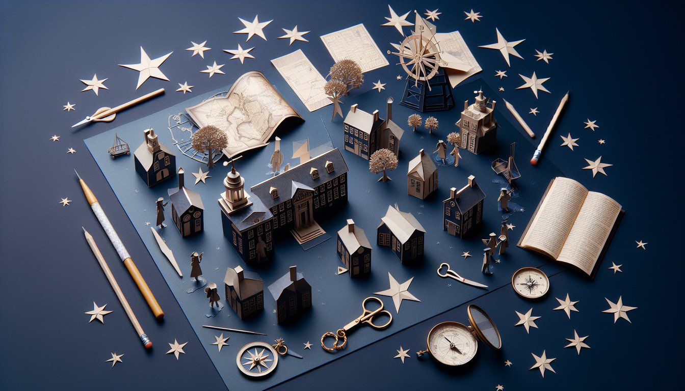
13 Colonies Map Cheat Sheet

  1. Original Colonies Overview - Get to know each of the 13 original colonies by name and location - New Hampshire through Georgia - and build a mental map that sticks. Being able to list them by heart will help you ace map quizzes and understand early American expansion. Ready to explore? Printable Map PDF
  2. Colonial Regions Breakdown - Dive into the three big regions: New England, Middle, and Southern colonies. Understanding how climate, resources, and culture differed in each region brings the colonial story to life. Test your recall with handy flashcards! Regional Flashcards
  3. Capital Cities - Map out the capital of every colony - from Boston in Massachusetts to Savannah in Georgia - and see how these hubs became centers of power. Recognizing these cities on a map boosts both your geography skills and historical insight. Capital Quiz
  4. Geography & Landmarks - Spot the Appalachian Mountains, trace major rivers like the Hudson and Potomac, and note coastal features that shaped settlement. These landforms influenced trade routes, defense strategies, and migration patterns. Challenge yourself with an interactive map quiz! Map Quiz Worksheet
  5. Regional Economies - Explore shipbuilding in New England, grain farming in the Middle colonies, and plantation agriculture in the South. These economic activities set the stage for social structures and future conflicts. Get a clear economic map to visualize it all! Economic Map Resource
  6. Key Colonial Cities - Spotlight Philadelphia's role in governance, Boston's spark for revolution, and Charleston's booming port - each city tells its own story. Learning their significance helps you connect big events with real places. Test your city smarts! City Significance Quiz
  7. Founding Dates & Motives - Discover when and why each colony was founded, whether for religious freedom, economic opportunity, or political refuge. These backstories bring personality to each settlement. Dive into the timeline! Founding Facts Sheet
  8. Blank Map Challenge - Level up your recall by labeling colonies on a blank map - nothing cements knowledge like active practice. It's a proven study hack to boost your confidence and map skills. Grab your labeling worksheet now! Labeling Worksheet
  9. Colonist-Native American Relations - Explore how trade, treaties, and conflicts shaped interactions between settlers and native tribes. This nuanced history reveals the foundation of early American society. Check out a cultural interaction map! Cultural Interaction Map
  10. Interactive Quizzes & Flashcards - Make studying a game with quizzes and flashcards that test your knowledge in real time. Self-quizzing reveals your strengths and highlights areas to review before test day. Start practicing! Practice Flashcards
Powered by: Quiz Maker