How Well Do You Know US Bodies of Water?
Can you name all bodies of water in the United States? Take the quiz now!
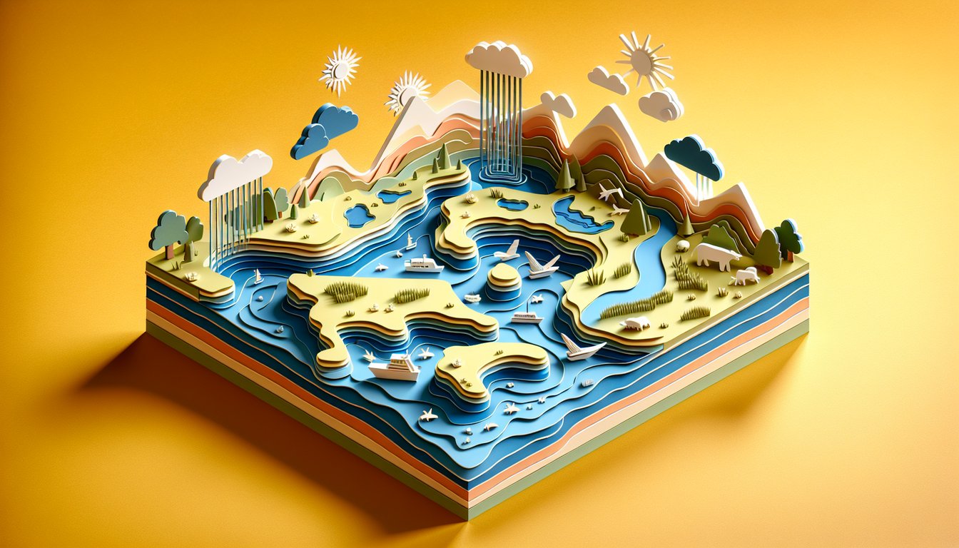
Ready to dive into the Ultimate US Bodies of Water Quiz? This free, interactive challenge is designed for anyone curious about the waterways that shape America - from meandering rivers and tranquil lakes to the vast, open ocean. Whether you're brushing up on your geography or eager to test your skills on american bodies of water, you'll find fascinating facts, surprising trivia, and a chance to discover new insights about u.s. bodies of water. Use our bodies of water quiz to push your limits and then deepen your knowledge with our us rivers quiz for a focused look at America's most iconic streams. Perfect for trivia nights, classroom fun, or solo exploration, this quiz highlights the diversity and importance of bodies of water united states. Ready to make waves? Jump in now and see if you can ace every question - let's get started!
Study Outcomes
- Identify Major US Bodies of Water -
Readers can recognize and name key US rivers, lakes, and ocean coastlines featured in the quiz.
- Describe Geographical Locations and Features -
Readers can pinpoint each body of water on a map and explain its defining characteristics and significance.
- Distinguish Among Waterway Types -
Readers can differentiate between rivers, lakes, and coastal bodies, enhancing their grasp of american bodies of water diversity.
- Recall Interesting Trivia Facts -
Readers will remember fun facts and historical tidbits about major water bodies, boosting their trivia prowess.
- Apply Knowledge in Context -
Readers can use their understanding of U.S. bodies of water to tackle related geography challenges or pursue further exploration.
Cheat Sheet
- Mississippi River Watershed -
The Mississippi River spans 2,340 miles and drains roughly 1.2 million square miles across 31 states, according to USGS. Use the mnemonic "Mighty Mississippi = Massive Drainage" to recall its coverage of about 41% of US bodies of water. Key tributaries like the Missouri and Ohio Rivers feed into its flow, making it a backbone of the nation's hydrology.
- Great Lakes Freshwater System -
The Great Lakes form the largest freshwater lake system on Earth, holding 21% of the world's surface fresh water (NOAA). Remember the lakes with "HOMES": Huron, Ontario, Michigan, Erie, Superior - this classic mnemonic helps you ace bodies of water united states trivia. Their combined shoreline spans over 10,900 miles, influencing trade and ecology in the regional economy.
- Colorado River Management -
The Colorado River runs over 1,450 miles and supplies water to seven U.S. states and Mexico under the "Law of the River" compacts (U.S. Bureau of Reclamation). Recall its average annual flow of about 15 million acre-feet with the phrase "15 for all" to link volume and interstate water allocations. This compact system showcases how water agreements shape urban development and agriculture across the arid West.
- U.S. Coastal Zones and Tidal Ranges -
The U.S. has three primary coastline regions - Atlantic, Pacific, and Gulf of Mexico - each with distinct tidal ranges and ecosystems documented by NOAA. Use the simple formula Tidal Range = High Tide − Low Tide to compare how coastal water levels fluctuate from Maine to California. Understanding these zones is crucial for navigation, conservation, and coastal management strategies.
- Endorheic Basins and the Great Salt Lake -
The Great Salt Lake in Utah is the largest inland saltwater lake in the Western Hemisphere, with salinity levels up to 27% (USGS). Studying endorheic basins, or closed drainage systems, highlights how some american bodies of water have no outlet and rely solely on evaporation to balance water volume. Memorize "closed bowl" to evoke the sealed nature of these unique basins.