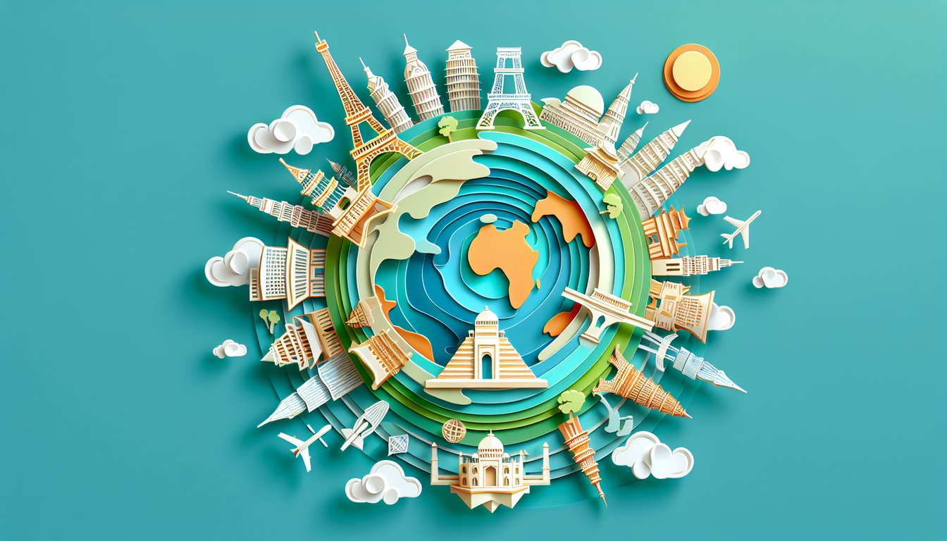
Ready to traverse mountains, oceans and cities without leaving home? Our Ultimate Geography Trivia Questions quiz challenges both seasoned explorers and curious minds with fun geography quiz questions everywhere you look. From capitals to coastlines, test your smarts with engaging world geography trivia and discover amazing global trivia questions and answers that reveal fascinating facts about every continent. You'll pick up fun facts at every turn. Click on world geography trivia to start your journey, then dive deeper with our World Geography Quiz for an even bigger adventure. Prove you can ace the world - let's see how many you score!
Which is the largest continent by land area?
Africa
North America
Antarctica
Asia
Asia is the largest continent by land area, covering around 44.58 million square kilometers across the eastern and northern hemispheres. It includes diverse climates from arctic tundra to tropical rainforests and hosts the majority of the world's population and cultural heritage. No other continent matches its vast size and variety. For more details, see Wikipedia.
What is the smallest ocean in the world?
Pacific Ocean
Indian Ocean
Arctic Ocean
Southern Ocean
The Arctic Ocean is the smallest and shallowest of the world's five oceans, covering about 14 million square kilometers. It is located mostly in the Arctic north polar region and is surrounded by Eurasia and North America. Sea ice and cold temperatures dominate the region year-round. Learn more at Wikipedia.
Which of these countries is located in South America?
Peru
Kenya
Spain
Mexico
Peru is a country on the western side of South America, bordered by Ecuador, Colombia, Brazil, Bolivia, Chile, and the Pacific Ocean. It is known for its diverse geography including the Andes mountains and the Amazon rainforest. Mexico is in North America, Spain is in Europe, and Kenya is in Africa. More information at Wikipedia.
What is the capital city of Australia?
Brisbane
Canberra
Sydney
Melbourne
Canberra was selected as Australia's capital in 1908 as a compromise location between rivals Sydney and Melbourne. It is a planned city designed by architects Walter Burley Griffin and Marion Mahony Griffin. The city hosts national institutions such as the Parliament House and the National Gallery. See more at Wikipedia.
Which river is traditionally considered the longest in the world?
Amazon River
Yangtze River
Mississippi River
Nile River
The Nile River flows about 6,650 kilometers through northeastern Africa, passing through ten countries from its source to the Mediterranean Sea. It has been historically recognized as the world's longest river, although some studies argue the Amazon is longer by certain measurements. Its waters have supported civilizations for millennia. For more, visit Wikipedia.
Which mountain is the highest above sea level?
Mount Everest
K2
Kangchenjunga
Lhotse
Mount Everest's summit reaches 8,848.86 meters (29,031.7 feet) above sea level, making it the highest point on Earth. It sits on the border between Nepal and the Tibet Autonomous Region of China. The mountain was first summited in 1953 by Sir Edmund Hillary and Tenzing Norgay. More details at Wikipedia.
Which of these countries does NOT share a border with Germany?
France
Italy
Austria
Poland
Germany shares land borders with nine countries: Denmark, Poland, Czech Republic, Austria, Switzerland, France, Luxembourg, Belgium, and the Netherlands. Italy does not directly border Germany; they are separated by Austria and Switzerland. This makes Italy the correct answer. See border map on Wikipedia.
What is the national capital of Canada?
Toronto
Vancouver
Ottawa
Montreal
Ottawa was chosen as Canada's capital by Queen Victoria in 1857, located in the province of Ontario. It was selected as a compromise between rivals Montreal and Toronto. Ottawa is home to the federal government and many national cultural institutions. More information at Wikipedia.
Which country is both a country and a continent?
Iceland
Australia
Greenland
Madagascar
Australia uniquely refers to both a sovereign nation and the continental landmass of Australia. It is the world's smallest continent but sixth-largest country by total area. No other country occupies an entire continent. Learn more at Wikipedia.
How many time zones does Russia span?
5
7
9
11
Russia spans 11 time zones, covering a vast territory from Kaliningrad in the west (UTC+2) to Kamchatka in the east (UTC+12). This is the largest number of time zones any country covers. The divisions help manage regional time differences across the federation. More details at Wikipedia.
Which desert is the largest non-polar desert on Earth?
Kalahari Desert
Gobi Desert
Arabian Desert
Sahara Desert
The Sahara Desert spans approximately 9.2 million square kilometers across North Africa, making it the largest non-polar desert in the world. It stretches from the Red Sea in the east to the Atlantic Ocean in the west. Its climate is hyper-arid, and it is known for vast sand dunes and sparse vegetation. More at Wikipedia.
Which is the northernmost permanently inhabited place on Earth?
Alert, Nunavut
Ny-Ålesund, Svalbard
Tromsø, Norway
Longyearbyen, Svalbard
Alert in Nunavut, Canada, lies at latitude 82.5°N and serves as a military and research station with rotating personnel year-round. It is recognized as the northernmost permanently inhabited place on Earth. Longyearbyen and Ny-Ålesund are also far north but lie further south. For more information, see Wikipedia.
What is the world's largest inland body of water?
Lake Superior
Dead Sea
Aral Sea
Caspian Sea
The Caspian Sea, bordered by five countries in Eurasia, covers about 371,000 square kilometers, making it the largest inland body of water (often classed as the world's largest lake). It has no natural outlet, and its salinity varies across the basin. The Caspian plays a critical role in regional ecology and economy. More at Wikipedia.
Which two countries share the shortest land border?
Vatican City and Italy
Monaco and France
USA and Mexico
Spain and Portugal
The border between Vatican City and Italy measures just over 3 kilometers, making it the shortest international land border in the world. Both are enclaved within the city of Rome, Italy. Monaco - France is longer, and Spain - Portugal and USA - Mexico are far more extensive. Learn more at Wikipedia.
0
{"name":"Which is the largest continent by land area?", "url":"https://www.quiz-maker.com/QPREVIEW","txt":"Which is the largest continent by land area?, What is the smallest ocean in the world?, Which of these countries is located in South America?","img":"https://www.quiz-maker.com/3012/images/ogquiz.png"}
Score2/14
Easy1/4
Medium1/4
Hard0/4
Expert0/2
AI Study Notes
Email these to me
You can bookmark this page to review your notes in future, or fill out the email box below to email them to yourself.
Study Outcomes
Identify Major Continents -
Learn to pinpoint and name each of the seven continents, improving your ability to locate them on a world map.
Recall National Capitals -
Memorize and confidently recall the capital cities of countries from every region of the globe.
Recognize Iconic Landmarks -
Distinguish famous natural wonders and man-made landmarks, linking them to their correct geographic settings.
Analyze Spatial Relationships -
Develop map-reading skills to understand how countries, cities, and physical features relate spatially.
Apply Trivia Strategies -
Use effective recall and deduction techniques to answer global trivia questions and answers accurately under time pressure.
Evaluate Cultural Diversity -
Assess how geographic location influences cultural practices, languages, and environmental adaptations worldwide.
Cheat Sheet
Continents Memorization -
Use the mnemonic "A Naughty Ape Saw An Angry Elephant" to recall Asia, North America, South America, Antarctica, Africa, Europe, Australia. Visualizing each continent's unique shape on a blank world map (e.g., Africa's "arrowhead") reinforces spatial memory. According to National Geographic, pairing mnemonics with map quizzes boosts long-term retention.
Capital-Country Connections -
Group capitals by region - like pairing Canberra with Australia and Wellington with New Zealand - to build regional "capital clusters." Flashcards or an app that prompts "country → capital" help you practice recall under timed conditions. The University of Oxford's geography resources suggest reviewing 10 new capitals daily for rapid mastery.
Key Latitude Lines -
Memorize the Equator (0°), Tropic of Cancer (23.5°N), Tropic of Capricorn (23.5°S), and the Arctic/Antarctic Circles (66.5°). A handy trick: "23-23 up and down" reminds you both tropics sit 23.5° from the Equator. NASA emphasizes that these lines govern climate zones and daylight variations.
Major Mountain Ranges & Peaks -
Focus on the Himalayas (home to Everest, 8,848 m) and the Andes (Aconcagua, 6,961 m) as anchor points, then branch out to lesser-known ranges like the Urals. Sketching elevation profiles can help visualize how ranges span continents. Research from the American Alpine Club shows that connecting peaks with their tectonic origins deepens understanding.
Time Zones & UTC Calculation -
Remember that Earth rotates 15° per hour, so dividing longitude difference by 15 gives local time offset from UTC. For example, 75° W is UTC−5, meaning 12:00 UTC equals 7:00 local time. The IANA Time Zone Database confirms this formula is standard for global trivia.