East Africa Geography Quiz: How Well Do You Know the Region?
Think you know Eastern Africa geography? Take the quiz and prove it!
Ready to put your east africa geography skills to the test? Dive into our free east africa geography quiz - complete with a great rift valley quiz section - and discover how much you really know about eastern africa geography, from the sweeping Serengeti plains to the majestic escarpments of the Great Rift Valley. Whether you're brushing up on east africa physical geography or seeking a fun challenge, this is your chance to shine. If you're already a fan of african geography quiz or live for trivia of africa , this quiz will push your limits. Embark on this journey today and show off your expertise - let's see if you can ace it!
Study Outcomes
- Identify Major Physical Features -
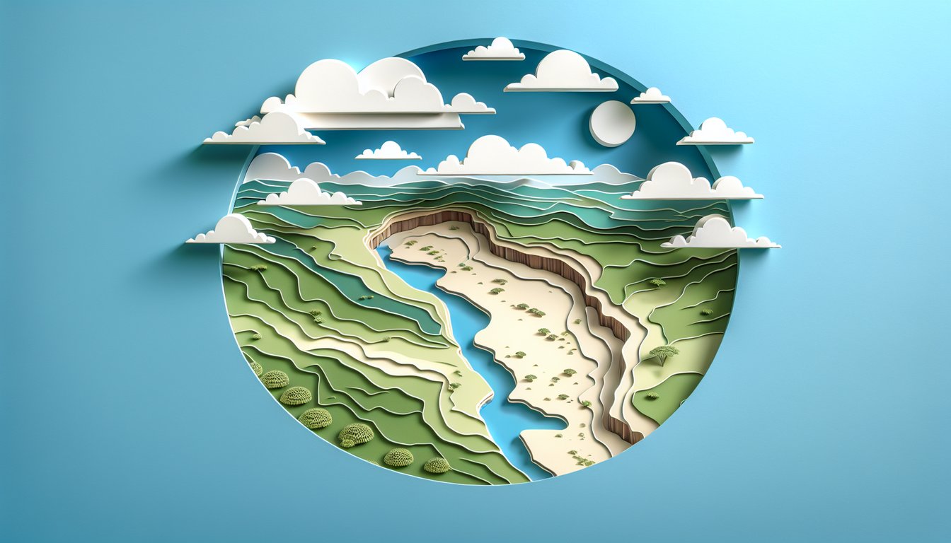
Understand key landforms of East Africa geography, including the Great Rift Valley, mountain ranges, and plains.
- Locate Countries and Capitals -
Accurately place East African nations and their capitals on a map to enhance your regional orientation.
- Analyze the Great Rift Valley Formation -
Explain how tectonic processes shaped the Great Rift Valley and its significance in eastern africa geography.
- Evaluate Ecological Zones -
Distinguish different ecosystems in East Africa, such as the Serengeti plains, savannas, and coastal habitats.
- Apply Map-Reading Skills -
Use map features to identify major lakes, rivers, and elevation changes across eastern africa geography.
- Test and Reinforce Geography IQ -
Assess and improve your east africa geography knowledge through targeted quiz questions and fun facts.
Cheat Sheet
- Great Rift Valley Formation -
The Great Rift Valley is a classic example of divergent tectonic plates in east africa physical geography, formed as the Somali and Nubian plates pull apart. This valley features active volcanoes, deep lakes, and fault escarpments that you'll encounter in any east africa geography quiz. Mnemonic: "RIFT" helps recall its key traits - Ridges, Inland seas, Faults, Tectonics.
- Serengeti Plains & Wildlife Migration -
The Serengeti ecosystem in eastern africa geography supports over 1.3 million wildebeest, which complete an annual 1,000-mile migration driven by rainfall patterns. Studies from the Serengeti Research Institute show how the timing of the short and long rains dictates grazing cycles and predator movements. Think "WILD SERO" to remember Wildebeest, Lions, Impalas, Dry season, Short rains, Ecosystem resilience, Rivers, Omnivores.
- Highland Plateaus & Kilimanjaro's Climate -
The Ethiopian Highlands and Mount Kilimanjaro shape regional weather, with temperature decreasing about 6.5 °C per 1,000 m of elevation (use ΔT = 6.5×Δh). University of Nairobi research highlights how orographic lift on Kilimanjaro creates distinct ecological zones from montane forest to alpine desert. Visualize the "Elevate-Cool" formula - Elevation up, temperature down.
- Major Rift Lakes: Victoria, Tanganyika, Malawi -
East Africa geography features the world's largest tropical lake (Victoria) and the deepest freshwater lake (Tanganyika) alongside biodiversity hotspot Lake Malawi. UNESCO data reveal high endemism, especially cichlid fish species, making these rift lakes key study points. Use the "VTM" mnemonic - Victoria, Tanganyika, Malawi - to keep them in order.
- Climate Zones & Rainfall Patterns -
Eastern africa geography spans Af (equatorial rainforest), Aw (tropical savanna), and BSh (semi-arid hot) zones under the Köppen classification. UNEP climate maps show how proximity to the equator and topography influence the bimodal rainfall pattern critical to agriculture and wildlife. Remember "All And Barely" for Af, Aw, BSh in the east africa geography quiz.