Unlock hundreds more features
Save your Quiz to the Dashboard
View and Export Results
Use AI to Create Quizzes and Analyse Results

Sign inSign in with Facebook
Sign inSign in with Google

SW Asia Landforms Map Quiz: Test Your Knowledge

Dive into this map of Asia with landforms and challenge your geography skills!

Difficulty: Moderate
2-5mins
Learning OutcomesCheat Sheet
Paper art style map of Southwest Asia showing deserts, mountains, plateaus on teal background for quiz

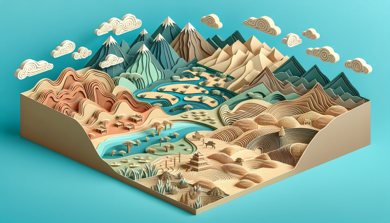
Map lovers, ready to put your asia landforms map skills to the test? In this free asia landforms quiz, you'll explore a detailed map of asia with landforms and challenge yourself to pinpoint iconic deserts like the Rubʼ al Khali, soaring peaks, rugged plateaus and vital waterways across SW Asia. Whether you're studying the khali sw region, preparing for an exam, this quiz offers an engaging way to sharpen your skills. Use a reliable southwest asia map or review the physical map south asia before you begin. Ready to conquer the SW Asia landforms map and see your score? Hit start now to begin!

Which is the largest sand desert in Southwest Asia, also known as the Empty Quarter?
Rub' al Khali
Dasht-e Kavir
Sahara Desert
Gobi Desert
Rub' al Khali is the largest continuous sand desert in the world, covering much of the southern Arabian Peninsula. It is often called the Empty Quarter due to its vast, uninhabited sands. The desert spans parts of Saudi Arabia, Oman, the UAE, and Yemen. More info
The Zagros Mountains run primarily through which country?
Iran
Iraq
Turkey
Saudi Arabia
The Zagros Mountains stretch from northwestern to southeastern Iran, forming a natural barrier along much of the Iran–Iraq border. They are one of the youngest and most seismically active ranges in the region. More info
Which plateau covers much of southwestern Iran and extends into Afghanistan and Pakistan?
Iranian Plateau
Anatolian Plateau
Deccan Plateau
Tibetan Plateau
The Iranian Plateau, sometimes called the Persian Plateau, spans much of Iran and extends into parts of Afghanistan and Pakistan. It lies between the Zagros and Alborz Mountains. More info
What is the name of the mountain range along northern Iran, near the southern coast of the Caspian Sea?
Alborz Mountains
Zagros Mountains
Taurus Mountains
Hindu Kush
The Alborz (or Elburz) Mountains run in an arc along the southern shore of the Caspian Sea in northern Iran. They include Mount Damavand, the highest peak in Iran. More info
Which Iranian desert is often referred to as the Great Salt Desert?
Dasht-e Kavir
Dasht-e Lut
Rub' al Khali
Kara Kum
Dasht-e Kavir, also known as the Great Salt Desert, occupies central Iran and features extensive salt marshes and seasonal lakes. It is one of the largest deserts in the country. More info
The Taurus Mountains are predominantly located in which country?
Turkey
Greece
Syria
Iraq
The Taurus Mountains stretch across southern Turkey, forming a rugged barrier between the Mediterranean coast and the central Anatolian Plateau. More info
Which plateau occupies most of central Turkey?
Anatolian Plateau
Iranian Plateau
Arabian Plateau
Syrian Plateau
The Anatolian Plateau covers the interior of Turkey, bounded by the Pontic Mountains to the north and the Taurus Mountains to the south. More info
Which mountain range stretches across northern Afghanistan into northern Pakistan?
Hindu Kush
Karakoram
Pamir Mountains
Elburz Mountains
The Hindu Kush extends from central Afghanistan into northern Pakistan, forming a major geological feature that connects with the Pamirs to the northeast. More info
Which desert in southeast Iran is known for having the highest land surface temperatures on Earth?
Dasht-e Lut
Dasht-e Kavir
Rub' al Khali
Gobi Desert
Dasht-e Lut holds records for the highest ground temperatures ever measured, reaching above 70 °C in some spots. It is a large desert in southeastern Iran. More info
Which geographic feature separates the Zagros Mountains from the Alborz Mountains?
Central Iranian Plateau
Caspian Sea
Persian Gulf
Arabian Desert
The Central Iranian Plateau lies between the Zagros to the southwest and the Alborz to the north, forming Iran’s interior highland region. More info
Which river flows across the Iranian Plateau into the Sistan Basin?
Helmand River
Tigris River
Karun River
Amu Darya
The Helmand River rises in the Hindu Kush, flows through Afghanistan into southwestern Iran, and ends in the Sistan Basin. It is the longest river in Afghanistan. More info
Mount Damavand, the highest peak of the Alborz Mountains, reaches approximately what elevation?
5,671 meters
4,200 meters
6,789 meters
3,900 meters
Mount Damavand is a potentially active stratovolcano and the tallest peak in Iran and the Middle East, with an elevation of about 5,671 m. More info
The Caucasus Mountains in Western Asia lie between which two bodies of water?
Black Sea and Caspian Sea
Mediterranean Sea and Red Sea
Caspian Sea and Persian Gulf
Black Sea and Arabian Sea
The Greater Caucasus range stretches from the Black Sea in the west to the Caspian Sea in the east, forming a natural boundary between Eastern Europe and Western Asia. More info
Which tectonic plate underlies most of Southwest Asia and contributes to its seismic activity?
Arabian Plate
Eurasian Plate
African Plate
Indian Plate
The Arabian Plate carries the Arabian Peninsula and collides with the Eurasian Plate along the Zagros Mountains, causing frequent earthquakes in the region. More info
The Levantine Plateau stretches across several countries. Which one of these is NOT part of it?
Egypt
Jordan
Lebanon
Syria
The Levantine Plateau covers parts of Syria, Lebanon, Israel, Jordan, and Palestine. It does not extend into Egypt. More info
The formation of the Zagros fold and thrust belt is primarily due to the collision between which tectonic plates?
Arabian and Eurasian Plates
African and Arabian Plates
Eurasian and Indian Plates
North American and Eurasian Plates
The Zagros Mountains formed as the Arabian Plate converged with and subducted beneath the Eurasian Plate, creating a fold and thrust belt. This tectonic process continues to shape the region today. More info
The Alborz mountain range was mainly formed during which orogenic (mountain-building) event?
Alpine Orogeny
Caledonian Orogeny
Variscan Orogeny
Grenville Orogeny
The Alborz Mountains are a product of the Alpine Orogeny, which resulted from the collision and closure of the Tethys Ocean between the African/Arabian and Eurasian plates during the Cenozoic. More info
0
{"name":"Which is the largest sand desert in Southwest Asia, also known as the Empty Quarter?", "url":"https://www.quiz-maker.com/QPREVIEW","txt":"Which is the largest sand desert in Southwest Asia, also known as the Empty Quarter?, The Zagros Mountains run primarily through which country?, Which plateau covers much of southwestern Iran and extends into Afghanistan and Pakistan?","img":"https://www.quiz-maker.com/3012/images/ogquiz.png"}

Study Outcomes

  1. Identify Major Landforms -

    Recognize key features on an asia landforms map, including mountain ranges, deserts, plateaus, and peninsulas across Southwest Asia.

  2. Locate Key Geographic Features -

    Pinpoint exact positions of rivers, coastal areas, and upland regions using a detailed map of Asia with landforms.

  3. Distinguish Landform Types -

    Differentiate between plateaus, plains, and deserts by their unique shapes and spatial contexts on the SW Asia landforms map.

  4. Analyze Spatial Relationships -

    Understand how physical features like mountain chains and desert basins interact geographically within Southwest Asia.

  5. Apply Map Skills -

    Use compass directions, scale reading, and terrain recognition to accurately complete the free asia landforms quiz.

  6. Evaluate Quiz Performance -

    Interpret your quiz score to identify strengths and target areas for improvement in your Asia landforms map knowledge.

Cheat Sheet

  1. Zagros and Alborz Mountain Ranges -

    These two parallel ranges flank the Iranian Plateau, stretching northwest to southeast and dominating any map of Asia with landforms in SW Asia. Use the mnemonic "ZAP" (Zagros-Alborz Parallel) to remember their alignment. (Sources: National Geographic, University of Oxford)

  2. Arabian Desert Complex -

    Encompassing the Rub' al Khali (Empty Quarter) and the Syrian Desert, this vast arid zone covers much of the Arabian Peninsula and is a must-know feature on an asia landforms map. Recall "RS Desert" (Rub' al Khali + Syrian) to map both areas quickly. (Sources: Britannica, USGS)

  3. Iranian Plateau -

    Sitting between the Zagros and Alborz ranges, this highland region features basins like Dasht-e Kavir and Dasht-e Lut, critical for understanding plateau formation in SW Asia. Remember "BBL" (Basins, Borders, Lakes) to review plateau components. (Sources: University of Tehran, Elsevier Journals)

  4. Anatolian Plateau and Taurus Mountains -

    The high central plateau of Turkey and its southern Taurus foothills influence climate and human settlement; you'll spot them on any SW Asia landforms map just north of the Mediterranean. A simple phrase - "Taurus Tops Turkey" - helps keep location straight. (Sources: Middle East Studies Association, Cambridge University Press)

  5. Key Coastal Features & Peninsulas -

    The Persian Gulf, Gulf of Oman, and Arabian Sea outline peninsulas like Qatar and Oman on a free Asia landforms quiz, highlighting how coastlines shape trade routes. Use the acronym "PG-GO-AS" (Persian Gulf, Gulf of Oman, Arabian Sea) to recall major bodies of water. (Sources: NOAA, Journal of Coastal Research)

Powered by: Quiz Maker