Unlock hundreds more features
Save your Quiz to the Dashboard
View and Export Results
Use AI to Create Quizzes and Analyse Results

Sign inSign in with Facebook
Sign inSign in with Google

Europe Map Quiz: Identify Every Country

Think you can ace this Europe geography quiz? Start naming countries on the map now!

Difficulty: Moderate
2-5mins
Learning OutcomesCheat Sheet
Europe map paper art on sky blue background with country outlines and quiz title inviting identification of every country

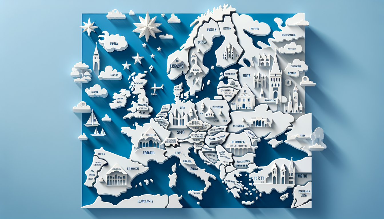
Ready to explore every corner of the continent? Dive into our free Europe map quiz and put your knowledge to the test with this ultimate Europe geography quiz. With our map of europe quiz with answers, you'll challenge yourself to identify countries on Europe map quiz, learn capitals, borders, and unlock new insights. Whether you're a student, traveler, or trivia buff, this practice map of europe session offers instant feedback to guide your journey. Kick-start your adventure with our engaging europe map test , and name every country like a pro - start now! Bookmark your score and replay the quiz anytime to perfect your skills across the continent. Plus, it's completely free and interactive, adapting to your pace for a fun learning experience.

Which European country has the largest land area?
Spain
France
Ukraine
Russia
Russia spans Eastern Europe and Northern Asia, making it the largest country by land area in Europe. It covers over 17 million square kilometers in total, with a significant portion in Europe. No other European country comes close to its size. Russia - Wikipedia
Which country is often described as having a 'boot' shape?
Greece
Spain
Italy
Portugal
Italy's mainland peninsula resembles a high-heeled boot extending into the Mediterranean Sea. This distinctive shape is recognized worldwide. The 'boot' kicks the island of Sicily, which lies just off its tip. Italy - Wikipedia
Which country is an island nation comprising Great Britain and Northern Ireland?
Iceland
Malta
Ireland
United Kingdom
The United Kingdom consists of England, Scotland, Wales (on Great Britain), and Northern Ireland (on the island of Ireland). It is separate from the Republic of Ireland to its west. The UK is a sovereign state made up of four constituent countries. United Kingdom - Wikipedia
Which country is entirely within the European Union and is the largest by area?
Italy
Spain
Germany
France
France is the largest country wholly within the EU, covering over 640,000 square kilometers. It spans from the Mediterranean Sea to the English Channel and North Sea. Metropolitan France alone exceeds the area of any other EU member state. France - Wikipedia
Which country has Stockholm as its capital?
Denmark
Sweden
Norway
Finland
Stockholm is the largest city and capital of Sweden, located on the country's east coast. It sits on 14 islands and has a unique archipelago geography. The city is a major cultural, political, and economic center. Stockholm - Wikipedia
Which country has Oslo as its capital?
Denmark
Sweden
Finland
Norway
Oslo is the capital and most populous city of Norway, located at the head of the Oslofjord. It serves as the economic and governmental center of the country. The city is known for its museums and green spaces. Oslo - Wikipedia
Which country lies south of France and is famous for paella?
Portugal
Greece
Italy
Spain
Spain is located directly south of France on the Iberian Peninsula. It is well-known for its regional dish, paella, which originated in Valencia. Spain's varied geography includes beaches, mountains, and plateaus. Spain - Wikipedia
Which country is east of France, south of Denmark, and hosts the Oktoberfest beer festival in Munich?
Belgium
Switzerland
Austria
Germany
Germany lies east of France and south of Denmark. Munich, in the state of Bavaria, hosts the world-famous Oktoberfest each autumn. Germany is the most populous EU member and has a diverse landscape and economy. Germany - Wikipedia
Which country lies to the east of Germany and was a major Eastern Bloc state?
Czech Republic
Hungary
Poland
Slovakia
Poland borders Germany to the east and was a founding member of the Warsaw Pact during the Cold War. It has a long history of shifting borders and is the ninth largest country in Europe by area. Poland - Wikipedia
Which is the second largest country entirely in Europe by area?
Romania
Poland
Ukraine
Belarus
Ukraine is the largest country located entirely in Europe, followed by France if you exclude transcontinental Russia. However, if including transcontinental, Ukraine is still second after Russia. It has rich agricultural lands and a lengthy Black Sea coastline. Ukraine - Wikipedia
Which country is famous for its islands in the Aegean Sea and the Acropolis in Athens?
Greece
Turkey
Bulgaria
Cyprus
Greece is renowned for its thousands of islands, including many in the Aegean Sea, and historic sites such as the Acropolis in Athens. It is considered the cradle of Western civilization. Greece - Wikipedia
Which country occupies the westernmost part of the Iberian Peninsula?
Andorra
Spain
Portugal
France
Portugal is on the western edge of the Iberian Peninsula, bordered to the east and north by Spain. It has a long Atlantic coastline. The country's capital is Lisbon. Portugal - Wikipedia
Which country is known for its low-lying landscape, canals, and flowers, with Amsterdam as its capital?
Germany
Belgium
Denmark
Netherlands
The Netherlands is famous for its polders, canals, tulip fields, and windmills. Amsterdam, its capital, is built around concentric canals and rich Dutch Golden Age architecture. Much of the country lies below sea level. Netherlands - Wikipedia
Which multilingual country shares borders with France, Germany, and the Netherlands, and has Brussels as its capital?
Switzerland
Netherlands
Luxembourg
Belgium
Belgium borders France, Germany, and the Netherlands. It has three official languages (Dutch, French, German) and Brussels is both the national capital and de facto EU capital. Belgium - Wikipedia
Which landlocked country is south of Germany and has Vienna as its capital?
Slovakia
Switzerland
Austria
Hungary
Austria is landlocked in Central Europe, bordered by Germany to the north. Vienna, on the Danube River, is its cultural and political center. The Alps cover much of its terrain. Austria - Wikipedia
Which landlocked country is known for its neutrality, banking sector, and has Bern as its capital?
Czech Republic
Slovenia
Austria
Switzerland
Switzerland is famous for its long-standing policy of neutrality and its robust financial institutions. Bern is the de facto capital. The country is mountainous with the Alps and Jura ranges. Switzerland - Wikipedia
Which Central European country has Prague as its capital?
Slovakia
Czech Republic
Croatia
Slovenia
The Czech Republic's capital is Prague, known for its historic Old Town and Charles Bridge. The country was part of Czechoslovakia until its peaceful split in 1993. It lies landlocked in Central Europe. Czech Republic - Wikipedia
Which landlocked country in Central Europe has Budapest as its capital?
Hungary
Romania
Czech Republic
Austria
Hungary is landlocked in Central Europe, with Budapest - split by the Danube - serving as its capital. It was part of the Austro-Hungarian Empire until 1918. Hungary is known for its thermal spas and pastry traditions. Hungary - Wikipedia
Which Eastern European country lies between Russia and Poland, with Minsk as its capital?
Belarus
Estonia
Latvia
Lithuania
Belarus is bordered by Russia to the east and Poland to the west. Its capital, Minsk, is the largest city. The country was formerly part of the Soviet Union. Belarus - Wikipedia
Which Nordic country lies east of Sweden and has Helsinki as its capital?
Denmark
Finland
Iceland
Norway
Finland lies to the east of Sweden, across the Gulf of Bothnia. Helsinki is its coastal capital. Finland is part of the Nordic region and known for its thousands of lakes and forests. Finland - Wikipedia
Which island nation is the westernmost country in Europe and has Dublin as its capital?
United Kingdom
Ireland
Malta
Iceland
Ireland occupies most of the island of Ireland and is the westernmost country in Europe. Dublin, on the east coast, is the capital. It is separate from Northern Ireland, which is part of the UK. Ireland - Wikipedia
Which Southeastern European country is the largest by area in the Balkans and has Bucharest as its capital?
Serbia
Greece
Bulgaria
Romania
Romania is the largest Balkan country by area, stretching from the Carpathian Mountains to the Black Sea. Bucharest is its capital and largest city. Romania joined the EU in 2007. Romania - Wikipedia
Which country lies south of Romania on the Black Sea coast and has Sofia as its capital?
Romania
Bulgaria
Turkey
Greece
Bulgaria is located south of Romania and borders the Black Sea to its east. Sofia, surrounded by mountains, is its capital. The country has a rich Thracian heritage. Bulgaria - Wikipedia
Which landlocked country lies between Romania and Ukraine, with Chi?in?u as its capital?
Romania
Ukraine
Belarus
Moldova
Moldova is landlocked between Romania to the west and Ukraine to the north, east, and south. Chi?in?u is its largest city and capital. It declared independence from the Soviet Union in 1991. Moldova - Wikipedia
Which microstate is located in the Pyrenees between France and Spain and has Andorra la Vella as its capital?
San Marino
Andorra
Monaco
Liechtenstein
Andorra is a small principality in the eastern Pyrenees mountains between France and Spain. Its capital is Andorra la Vella. It is known for its ski resorts and tax-haven status. Andorra - Wikipedia
0
{"name":"Which European country has the largest land area?", "url":"https://www.quiz-maker.com/QPREVIEW","txt":"Which European country has the largest land area?, Which country is often described as having a 'boot' shape?, Which country is an island nation comprising Great Britain and Northern Ireland?","img":"https://www.quiz-maker.com/3012/images/ogquiz.png"}

Study Outcomes

  1. Identify all European countries on a map -

    After completing the map of Europe quiz with answers, learners will accurately name each country's location, improving geographic recall and spatial awareness.

  2. Recall key facts about European nations -

    Participants will learn notable facts about each country as they match names to locations, enriching their understanding of Europe's cultural and political landscape.

  3. Analyze geographical patterns -

    Users will recognize regional clusters and border relationships, enabling them to understand how geography influences European demographics and history.

  4. Apply knowledge to real-world contexts -

    By mastering this Europe geography quiz, readers can confidently plan travel routes, engage in discussions, or support educational presentations.

  5. Assess learning progress -

    The instant-feedback format allows learners to track their progress, identify areas of improvement, and reinforce memory retention through repeated practice.

Cheat Sheet

  1. Regional Chunking with Mnemonics -

    Divide Europe into Northern, Western, Eastern, and Southern zones using a simple mnemonic like "Never Waste Every Second" to help you recall groupings quickly. Reviewing the European Commission's regional breakdown (ec.europa.eu) further anchors these clusters for any Europe geography quiz or free Europe map quiz challenge. This strategy turns a long list of 44+ countries into four manageable sets.

  2. Capital-Country Anchoring -

    Pair each country with its capital - as when you link Berlin to Germany or Athens to Greece - to create strong mental anchors. Flashcard studies (e.g., University of Cambridge Geography Dept.) or quiz apps can reinforce these links, boosting accuracy in a map of Europe quiz with answers. Starting with capitals speeds up identification during timed challenges.

  3. Outline & Shape Recognition -

    Learn to spot distinctive silhouettes like Italy's boot or Finland's long eastern border by tracing coastlines on blank maps. Practice with tools like the CIA World Factbook's map viewer or Seterra's free Europe map quiz to solidify shape-memory and ace your map of Europe quiz with answers. Repeated sketching of tricky outlines builds muscle memory and cuts down hesitation.

  4. Microstates & Island Grouping -

    Isolate tiny nations (Vatican City, San Marino, Liechtenstein, Andorra, Monaco) plus islands (Malta, Cyprus) using a grouping acronym such as "VSLAM + MC." Official UNESCO country profiles offer concise facts on each, making these seven easy to review as a batch. Tackling microstates separately prevents them from getting lost among larger neighbors.

  5. Coastal Seas & Orientation -

    Use Europe's surrounding seas - the Mediterranean, Baltic, North, and Black - to orient yourself: countries bordering the Baltic Sea (Estonia, Latvia, Lithuania) vs. those on the Mediterranean (Spain, Italy, Greece). The National Geographic Map Machine provides interactive maps for this purpose, helping you swiftly narrow down possibilities in any identify countries on Europe map quiz drill. Referencing hydrographic data from NOAA adds an extra layer of spatial context, reinforcing memory for coastal nations.

Powered by: Quiz Maker