Unlock hundreds more features
Save your Quiz to the Dashboard
View and Export Results
Use AI to Create Quizzes and Analyse Results

Sign inSign in with Facebook
Sign inSign in with Google
Quizzes > High School Quizzes > Social Studies

Map Quizzes Practice Test: Master Your Skills

Sharpen your knowledge with interactive map challenges

Difficulty: Moderate
Grade: Grade 6
Study OutcomesCheat Sheet
Colorful paper art depicting a geography quiz for high school students.

What are the four cardinal directions on a map?
North, South, East, West
Up, Down, Left, Right
Diagonal, Vertical, Horizontal, Lateral
Forward, Backward, Sideways, Up
The cardinal directions are North, South, East, and West. These provide the basic framework for map orientation and are essential for navigation.
What does a map's scale indicate?
The type of symbols used on the map
The number of landmarks displayed
The ratio between distances on the map and real-world distances
The color scheme of the map
A map's scale shows how distances on the map correspond to actual distances in the real world. It helps users convert measurements taken on the map into real-world distances.
What does the North arrow on a map signify?
It shows the direction of the wind
It points toward the geographic North
It indicates the location of the equator
It marks the center of the map
The North arrow is used to orient the map by showing the direction of geographic North. This helps users align the map with real-world directions.
Which symbol is typically used to represent water on maps?
A green patch
A brown line
A red dot
A blue color or wave pattern
Water bodies are most commonly depicted using shades of blue or wave-like patterns on maps. This convention helps users quickly identify rivers, lakes, and oceans.
What is the purpose of a map legend?
It shows the map's scale
It provides weather forecasts
It explains the symbols and colors used on the map
It lists the names of cities
The legend decodes the symbols and colors used throughout the map, making it easier for users to understand what each symbol represents. It is an essential tool for accurate map interpretation.
With a map scale of 1:50,000, if two points are 4 cm apart on the map, what is their real distance?
200,000 centimeters (2 km)
20 km
50,000 centimeters
4 km
A scale of 1:50,000 means that 1 cm on the map represents 50,000 cm in reality. Multiplying 4 cm by 50,000 gives 200,000 cm, which converts to 2 km.
What is the significance of contour lines on a topographic map?
They mark political boundaries
They represent water flow directions
They show road networks
They indicate areas of equal elevation
Contour lines connect points that have the same elevation. This helps users understand the shape and steepness of the terrain.
What is the primary advantage of using a grid reference system on a map?
It increases the size of the map
It adds decorative elements to the map
It reduces the map's details
It allows for precise location identification
A grid reference system divides the map into identifiable sections, making it easier to pinpoint exact locations. This precision is especially useful for navigation and search operations.
How can a map's scale be represented?
Only in graphical form
Only as a ratio
Only with colors
Ratio, verbal, and graphic representations
Maps can depict scale in multiple formats such as ratios (e.g., 1:100,000), verbally (e.g., '1 cm equals 1 km'), or graphically (using a scale bar). This multi-format representation helps cater to different user preferences.
What does a map projection do?
Changes the climate depicted on the map
Increases the actual size of continents
Transforms the Earth's curved surface onto a flat map
Generates random map colors
A map projection is a systematic method for representing the three-dimensional curved surface of the Earth on a two-dimensional plane. It involves compromises, as no projection can perfectly preserve all geographic properties.
Which of the following best describes spatial reasoning?
Calculating algebraic equations
The ability to understand and manipulate shapes and spatial relationships
Recalling map legends
Memorizing historical dates
Spatial reasoning involves visualizing, analyzing, and mentally manipulating spatial relationships. This skill is critical for solving map-based puzzles and understanding geographic information.
In a grid reference system, what does the letter component of a coordinate generally indicate?
The distance between landmarks
The map's color coding
A specific row or zone on the map
The map's scale
Usually, the letter in a grid reference represents a particular row or designated zone on the map. This helps in systematically organizing locations for accurate identification.
Why is it important to be aware of map distortions in different projections?
They determine the map's age
Because distortions can affect the accuracy of distances, areas, and directions
They make the map look more artistic
They simplify the map's design
Different map projections can distort various geographic properties such as area, shape, or distance. Being aware of these distortions is crucial for accurate map interpretation and navigation.
What is the benefit of having both graphic and numerical scales on a map?
They reduce map details
They confuse the map reader
They double the map's size
They provide both a visual representation and precise measurements for distance
A graphic scale offers an immediate visual cue for distance, while a numerical scale gives exact measurements. Together, they enhance the map's practicality and ease of use.
How can map puzzles improve spatial reasoning skills?
By emphasizing color recognition without context
By reducing the need for logical thinking
By focusing only on memorizing locations
By challenging you to analyze spatial relationships and solve problems using map elements
Map puzzles require you to interpret distances, directions, and spatial relationships, which actively engages your spatial reasoning capabilities. This practice can strengthen problem-solving skills and improve navigational understanding.
When a map displays a scale of 1 cm: 2 km, what does 5 cm on the map represent?
2 km
5 km
7 km
10 km
Since 1 cm represents 2 km, multiplying 5 cm by 2 km/cm results in 10 km. Understanding this conversion is vital for accurately estimating distances on a map.
What does a compass rose typically indicate on a map?
It shows the cardinal directions (North, South, East, West)
It identifies water bodies
It marks the location of cities
It displays the map's scale
The compass rose is a standard feature on maps that indicates the primary cardinal directions. This tool helps users align the map with the real-world orientation.
When interpreting a map scale of 1:100,000, what does 1 unit on the map equal in real life?
1 unit
1,000 units
10,000 units
100,000 units
A scale of 1:100,000 means that one unit on the map corresponds to 100,000 units in the real world. This ratio is key to converting map measurements to actual distances.
How does understanding grid coordinates assist in emergency planning?
It provides only general area information
It enables precise location tracking and quick navigation in emergencies
It delays emergency responses
It is irrelevant to emergency scenarios
Grid coordinates allow responders to pinpoint exact locations, which is crucial during emergencies. This precision facilitates rapid response and efficient coordination.
When comparing two maps of the same area with different scales, what is the most significant difference you would observe?
The color of the paper
The amount of detail provided
The shape of the map
The weight of the map
Maps with a larger scale generally show more detail over a smaller area, while those with a smaller scale cover a larger area with less detail. Recognizing this difference is essential for selecting the right map for a specific purpose.
0
{"name":"What are the four cardinal directions on a map?", "url":"https://www.quiz-maker.com/QPREVIEW","txt":"What are the four cardinal directions on a map?, What does a map's scale indicate?, What does the North arrow on a map signify?","img":"https://www.quiz-maker.com/3012/images/ogquiz.png"}

Study Outcomes

  1. Analyze spatial relationships and geographic features using map puzzles.
  2. Interpret key map symbols and data representations accurately.
  3. Identify landmarks, regions, and boundaries on diverse maps.
  4. Apply spatial reasoning to solve interactive geography challenges.
  5. Synthesize map information to support geographical assessments.

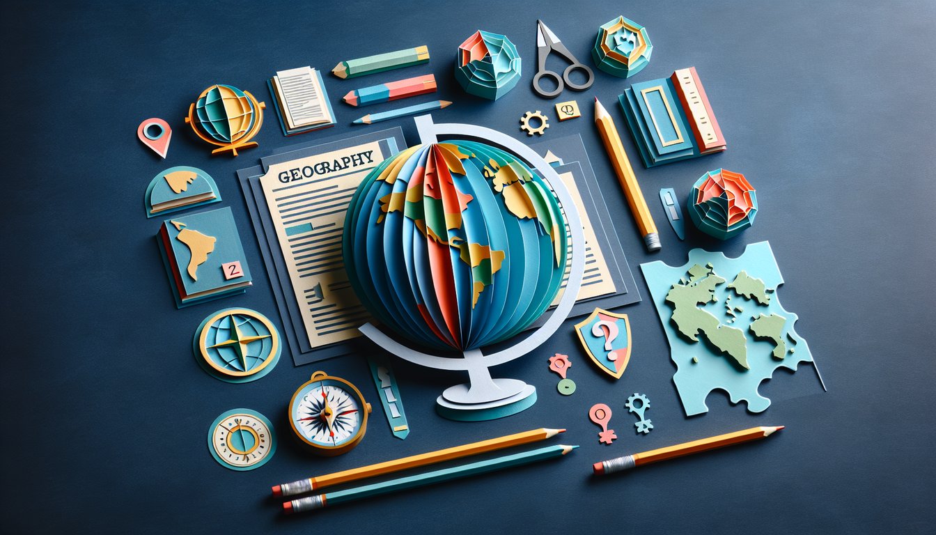
Map Quizzes: Practice Test & Review Cheat Sheet

  1. Understand the Five Themes of Geography - Geography turns into a thrilling adventure when you break down any place into location, place, human”environment interaction, movement, and region. These themes are like your personal set of detective tools for spotting world patterns and connections. Wikipedia - Five Themes of Geography
  2. Master Absolute vs. Relative Location - Absolute location uses latitude and longitude to pin down an exact spot on Earth, while relative location describes where something is by comparing it to nearby landmarks. Getting comfortable with both will make your map”reading skills truly bulletproof. WeAreTeachers - Five Themes of Geography
  3. Know Your Map Types - Physical maps show landforms, political maps highlight borders, topographical maps display elevation, and thematic maps focus on specific data like climate or population. Each one is a different lens for viewing our planet's rich tapestry. CliffsNotes - Map Types Explained
  4. Decode Map Scales - A large”scale map zooms in on a small area with tons of detail, while a small”scale map zooms out to cover massive regions with less detail. Understanding scales ensures you never misjudge distances again. CliffsNotes - Map Scale Basics
  5. Boost Spatial Reasoning with Puzzles - Geometric puzzles and map”based games are the supercharged workouts your brain needs to visualize shapes, routes, and regions in three dimensions. Plus, they're a ton of fun and great for study breaks! Brain Games - Spatial Puzzles
  6. Learn About Regions - Formal regions have official boundaries, functional regions revolve around activities (like a metro area), and vernacular regions are shaped by popular perception (think "the South"). Spotting these helps you understand cultural and physical geography. WeAreTeachers - Region Types
  7. Explore Human”Environment Interaction - Investigate how people adapt to, modify, and depend on their surroundings - from building dams to planting rooftop gardens. Seeing this two”way relationship is key to tackling real”world environmental challenges. WeAreTeachers - Human”Environment Interaction
  8. Practice Mental Rotation - Twisting and flipping 2D and 3D shapes in your mind is a critical skill for interpreting angled maps and aerial views. Try apps or hands”on puzzles to level up your map”reading confidence. Brain Games - Mental Rotation Tips
  9. Grasp the Concept of Scale - Scale in geography lets you zoom from your backyard to the entire planet, helping you analyze events on local, regional, and global levels. It's the magic slider on your virtual globe! Twinkl - Geography Scale Guide
  10. Track Change Over Time - Places and environments are always evolving - rivers shift courses, cities expand, and climates fluctuate. Studying these changes gives you powerful insights into how past events shape today's world. Twinkl - Understanding Geographic Change
Powered by: Quiz Maker