Unlock hundreds more features
Save your Quiz to the Dashboard
View and Export Results
Use AI to Create Quizzes and Analyse Results

Sign inSign in with Facebook
Sign inSign in with Google
Quizzes > High School Quizzes > Social Studies

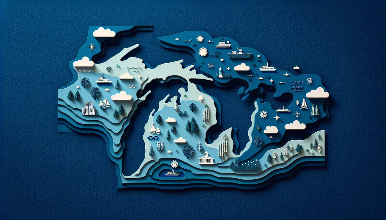
Great Lakes Map Practice Quiz

Enhance your skills with a fun test

Difficulty: Moderate
Grade: Grade 5
Study OutcomesCheat Sheet
Paper art depicting a trivia quiz on the Great Lakes Map Challenge for middle school students.

How many Great Lakes are there?
Seven
Six
Five
Four
There are exactly five Great Lakes: Superior, Michigan, Huron, Erie, and Ontario. This basic fact is essential for understanding the geography of the region.
Which Great Lake is the largest by surface area?
Lake Huron
Lake Michigan
Lake Erie
Lake Superior
Lake Superior is the largest by surface area among the Great Lakes. Its massive size sets it apart from the other lakes in the region.
Which Great Lake is entirely within the United States?
Lake Superior
Lake Erie
Lake Michigan
Lake Huron
Lake Michigan is the only Great Lake that lies entirely within the United States. Understanding this geographic boundary is important for regional studies.
Which of the following Great Lakes is the smallest by surface area?
Lake Erie
Lake Michigan
Lake Huron
Lake Ontario
Lake Ontario is the smallest of the Great Lakes by surface area. This fact highlights the diversity in the sizes of the lakes.
Which Great Lake connects directly to the St. Lawrence River?
Lake Superior
Lake Michigan
Lake Huron
Lake Ontario
Lake Ontario is directly connected to the St. Lawrence River, serving as an outflow for its waters. This connection is crucial for understanding regional water flow and navigation.
Which Great Lake features the world's largest freshwater island, Manitoulin Island?
Lake Michigan
Lake Erie
Lake Huron
Lake Superior
Manitoulin Island, the world's largest freshwater island, is located in Lake Huron. This unique feature helps in identifying the lake on a map.
Which Great Lake is known for its exceptionally clear waters and rugged shoreline?
Lake Ontario
Lake Erie
Lake Huron
Lake Superior
Lake Superior is renowned for its clear waters and dramatic, rugged shoreline. These characteristics make it easily recognizable on geographical maps.
Which Great Lake serves as the source of the Niagara River?
Lake Ontario
Lake Erie
Lake Superior
Lake Huron
The Niagara River flows from Lake Erie to Lake Ontario, making Lake Erie the source of this famous river. Recognizing these connections is vital for understanding regional hydrology.
Which of these lakes shares a border with both the United States and Canada and is also located to the far east among the Great Lakes?
Lake Erie
Lake Superior
Lake Ontario
Lake Huron
Lake Ontario, situated at the eastern end of the Great Lakes system, shares its border between the United States and Canada. Its location is significant for studies of both geography and international boundaries.
Which Great Lake is bordered by the U.S. states of Minnesota, Wisconsin, and Michigan?
Lake Erie
Lake Superior
Lake Huron
Lake Michigan
Lake Superior is bordered by Minnesota, Wisconsin, and Michigan among others, making it a key geographic feature in that region. Its extensive border highlights its importance in regional mapping.
Which Great Lake's basin supports a significant commercial fishing industry due to its productive waters?
Lake Ontario
Lake Erie
Lake Huron
Lake Superior
Lake Erie's relatively shallow waters and nutrient-rich ecosystem support a robust commercial fishing industry. This economic aspect is closely tied to its geographic and hydrological characteristics.
Which of the following is not part of the Great Lakes system?
Lake Tahoe
Lake Ontario
Lake Superior
Lake Michigan
Lake Tahoe, while a well-known lake, is not part of the Great Lakes system. This question tests the student's ability to differentiate between prominent North American lakes.
Which Great Lake is most susceptible to rapid water level fluctuations due to its shallow depth?
Lake Huron
Lake Michigan
Lake Superior
Lake Erie
Being the shallowest of the Great Lakes, Lake Erie is more prone to rapid water level changes. These fluctuations are primarily driven by its sensitivity to weather patterns affecting evaporation and precipitation.
Which lake's name is derived from an Ojibwe word meaning 'great water'?
Lake Erie
Lake Ontario
Lake Michigan
Lake Huron
The name 'Michigan' is believed to come from the Ojibwe word 'mishigamaa,' which means 'great water' or 'large lake.' This etymology reflects the vastness of Lake Michigan and its cultural significance.
Which Great Lake is most closely associated with the city of Toronto?
Lake Erie
Lake Superior
Lake Ontario
Lake Huron
Toronto is situated on the north shore of Lake Ontario, making it an essential part of the city's geography and economy. The city's proximity to the lake influences its climate and development.
Analyzing topographic maps, how would you distinguish between Lake Michigan and Lake Huron given their hydrologic connection and similar water levels?
Their distinct shorelines and the presence of Manitoulin Island in Lake Huron
Lake Huron is completely in the United States while Lake Michigan crosses into Canada
Lake Michigan has a perfectly circular shape unlike Lake Huron
They are differentiated by the color codes used on maps
Despite being hydrologically connected and sharing similar water levels, Lake Huron can be distinguished by its irregular, rocky shoreline and the notable presence of Manitoulin Island. These features are key markers on topographic maps.
When evaluating the impact of seasonal weather on the Great Lakes' water levels, which lake's characteristics make it most vulnerable to rapid changes, and why?
Lake Ontario, because of its elongated shape
Lake Huron, as it receives water from numerous tributaries
Lake Superior, because its vast size makes it more susceptible to weather extremes
Lake Erie, due to its shallow depth which results in quick responses to precipitation and evaporation
Lake Erie's shallow depth makes it particularly sensitive to changes in weather, leading to rapid fluctuations in water levels. This vulnerability is a significant factor in regional hydrological assessments.
On a detailed map, if identifying the boundary separating U.S. and Canadian territories among the Great Lakes, which lake provides the clearest demarcation and why?
Lake Ontario, because its shoreline is almost equally divided between the two nations
Lake Erie, since it lies entirely on the U.S. side except for a small border
Lake Michigan, as it serves as a natural border between the countries
Lake Superior, due to its completely irregular and indistinct boundaries
Lake Ontario offers a well-defined boundary between U.S. and Canadian territories, with its shoreline nearly equally divided between the two. This clarity makes it an excellent reference for studying international borders on maps.
Considering the hydrological connectivity of the Great Lakes, which factor most significantly influences their shared water levels, particularly between connected lakes like Michigan and Huron?
Precipitation and evaporation rates over the combined basin
The number of navigational locks between the lakes
Differences in water temperature
Variations in mineral content
The interconnected nature of lakes such as Michigan and Huron means that their water levels are largely influenced by regional precipitation and evaporation patterns. This shared hydrology ensures that both lakes maintain nearly identical water levels over time.
If tasked with creating a conservation plan for the Great Lakes region, which geographic factor would be most critical to consider, and why?
The transboundary nature of the lakes, requiring cooperative management between countries
The cultural significance of the Great Lakes' names
Historical patterns of shipwrecks in the lakes
Recreational boating trends along the lakeshores
The Great Lakes span both the United States and Canada, making them a shared resource that demands international cooperation. Effective conservation plans must prioritize the transboundary aspect to manage resources and environmental impacts efficiently.
0
{"name":"How many Great Lakes are there?", "url":"https://www.quiz-maker.com/QPREVIEW","txt":"How many Great Lakes are there?, Which Great Lake is the largest by surface area?, Which Great Lake is entirely within the United States?","img":"https://www.quiz-maker.com/3012/images/ogquiz.png"}

Study Outcomes

  1. Identify the locations of the Great Lakes on a map.
  2. Analyze spatial relationships between the lakes and surrounding regions.
  3. Apply map-reading skills to determine geographic features of the Great Lakes.
  4. Understand the significance of the Great Lakes in regional geography.
  5. Evaluate the role of the Great Lakes in historical trade and transportation.

Great Lakes Map Review Cheat Sheet

  1. The Great Lakes are five interconnected freshwater lakes - Spanning the U.S. and Canada, these massive bodies of water (Superior, Michigan, Huron, Erie, Ontario) hold enough fresh water to make them absolute legends in hydrology! Keep them straight with the super-simple mnemonic "HOMES." Great Lakes Wiki en.wikipedia.org/wiki/Great_Lakes
  2. Lake Superior is the largest and deepest - It's so huge it stores about 10% of all the world's fresh surface water, earning its crown as the heavyweight champ of lakes. Adventurers love exploring its rocky shores and diving into its crystal-blue depths. Lake Superior Wiki en.wikipedia.org/wiki/Lake_Superior
  3. Lake Michigan is unique as the only Great Lake entirely within the United States - No Canadian border here! From Chicago's skyline to sandy dunes, it's a playground for city slickers and nature lovers alike. Lake Michigan Wiki en.wikipedia.org/wiki/Lake_Michigan
  4. The Great Lakes were formed by glacial activity over 12,000 years ago - Gigantic ice sheets carved out deep basins that filled with meltwater as the glaciers retreated. This icy sculpting gave us the vast, interconnected system we study today. Glacial Formation Wiki en.wikipedia.org/wiki/Great_Lakes
  5. The Great Lakes contain approximately 21% of the world's surface fresh water - That's nearly a quarter of our planet's accessible supply, making them a critical resource for millions of people. Treat them like the global treasure they are! Freshwater Stats Wiki en.wikipedia.org/wiki/Great_Lakes
  6. Lake Huron's Manitoulin Island is the largest freshwater island in the world - Picture hundreds of lakes sprinkled across a single island - Manitoulin has over 100 of them! It's a lake lover's dream come true. Manitoulin Island Wiki en.wikipedia.org/wiki/Manitoulin_Island
  7. The Great Lakes are connected to the Atlantic Ocean via the Saint Lawrence River - This natural water highway has powered trade, exploration, and cultural exchange for centuries. Sailing from Duluth to the sea has never been more epic! Saint Lawrence River Wiki en.wikipedia.org/wiki/Saint_Lawrence_River
  8. Lake Erie is the shallowest of the Great Lakes - Its shallow basin warms up quickly, creating the perfect recipe for vibrant fisheries and buzzing ecosystems. Just watch out for those frothy, action-packed waves on windy days! Lake Erie Wiki en.wikipedia.org/wiki/Lake_Erie
  9. The Great Lakes' shorelines span approximately 10,500 miles - From rocky cliffs to sandy beaches, this epic shoreline offers habitats for countless plants and animals. It's like having a nature passport that never expires! Shoreline Facts Wiki en.wikipedia.org/wiki/Great_Lakes
  10. Lake Ontario is the smallest in surface area but remains impressively deep - Its depth influences local weather patterns and supports unique aquatic life. Don't let its size fool you - Ontario packs a powerful punch! Lake Ontario Wiki en.wikipedia.org/wiki/Lake_Ontario
Powered by: Quiz Maker