Unlock hundreds more features
Save your Quiz to the Dashboard
View and Export Results
Use AI to Create Quizzes and Analyse Results

Sign inSign in with Facebook
Sign inSign in with Google
Quizzes > High School Quizzes > Social Studies

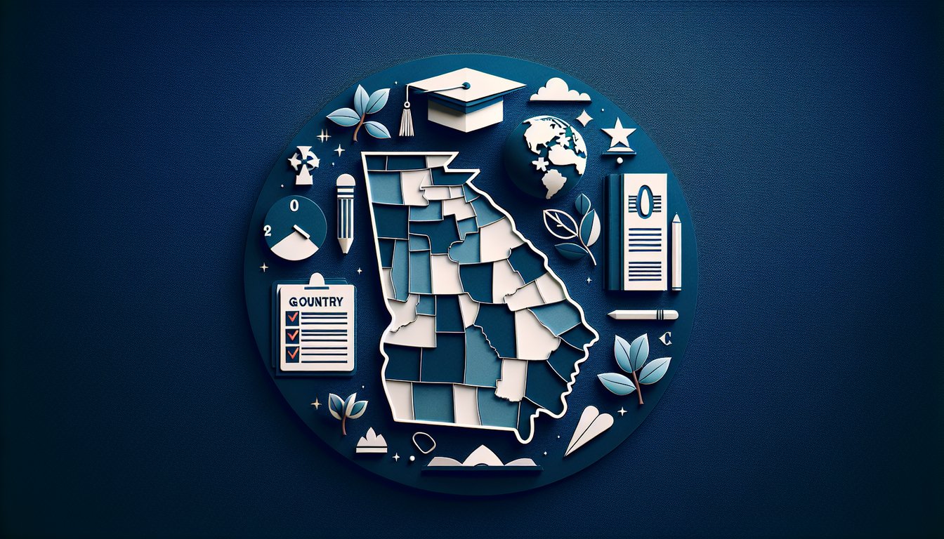
Georgia County Practice Quiz

Practice testing your knowledge of Georgia counties

Difficulty: Moderate
Grade: Grade 8
Study OutcomesCheat Sheet
Paper art depicting Georgia County Challenge quiz for high school geography students.

How many counties are there in Georgia?
150
161
145
159
Georgia is divided into 159 counties, a fact that is fundamental to the state's political geography. This number is unique in the United States and is often memorized by students studying Georgia's administrative divisions.
Which county in Georgia is home to the city of Atlanta?
DeKalb County
Gwinnett County
Cobb County
Fulton County
Atlanta is primarily located in Fulton County, making it a central hub for the region. This key fact is essential for understanding Georgia's urban geography and administrative organization.
Which county is in the coastal region of Georgia known for its historic Savannah area?
Chatham County
Fulton County
Meriwether County
Cobb County
Savannah is located in Chatham County, which is part of Georgia's lower coastal plain. The county's coastal setting is significant for its historic background and importance in Georgia's maritime trade.
In cartography of Georgia, what primarily distinguishes one county from another on a map?
Soil types
Elevation differences
Boundary lines
Climate zones
County boundaries are clearly delineated on maps using boundary lines. This visual distinction helps in identifying and differentiating each county's administrative region.
What is the significance of county seats in Georgia counties?
They serve as administrative centers
They indicate economic strength
They determine the geographic size of a county
They are always the largest cities
County seats are the administrative hubs where county government offices are located. They play a vital role in managing local governance and public services.
Which of the following is a characteristic feature of mapping Georgia's county layouts?
Highlighting climate zones
Focus on vegetation patterns
Emphasis on elevation gradients
Use of color coding to delineate counties
Maps of Georgia counties often use color coding to clearly differentiate between the various administrative regions. This method improves visual clarity and helps identify county boundaries effectively.
When studying the layout of Georgia counties, which aspect is most useful in identifying inter-county relationships?
Economic production data
Shared boundary lines
Local cultural landmarks
Population demographics
Shared boundary lines are essential for understanding how counties interact and relate to one another spatially. This feature is key in visualizing the administrative network of the state.
Which of the following counties is recognized for its rapid growth within the Atlanta metropolitan area?
Gwinnett County
Liberty County
Coffee County
Thomas County
Gwinnett County has experienced significant population growth as part of the Atlanta metropolitan expansion. Its rapid development makes it a focal point in studies of urban sprawl and regional dynamics.
In analyzing Georgia county maps, why might a student focus on county shapes?
They determine the economic output of the regions
They often reflect historical boundary decisions
They directly influence population density
They indicate climate variations
County shapes can provide insights into historical land divisions and boundary disputes. Recognizing these shapes helps students understand the evolution and rationale behind the current county layouts.
Which factor has historically influenced the formation of county boundaries in Georgia?
Climate change patterns
Rivers and natural borders
Digital mapping techniques
Modern urban planning
Natural borders such as rivers have played a key role in defining county limits throughout history. This influence is reflected in many of the irregular county boundaries found on Georgia's maps.
Which county is known for its historical industrial significance, including textile manufacturing?
Coffee County
Troup County
Colquitt County
Camden County
Troup County has historical significance due to its involvement in industrial development, particularly in textile manufacturing. Its past industrial activities contribute to its prominence in studies of regional economic history.
When interpreting maps of Georgia's counties, what does a change in color shades typically indicate?
Variations in elevation
Differences in population density
Differences in climate zones
Different counties or groupings
Color differences on a map are primarily used to differentiate administrative boundaries or regional groupings. This visual cue helps users quickly identify the separation between counties.
How do county seats influence the organization of local government in Georgia?
They are chosen for their climatic advantages
They determine the overall physical size of the county
They serve as administrative hubs for governance
They mark cultural landmarks exclusively
County seats host critical government functions and public services. They are central to the administrative organization and operational efficiency of local government.
Why is spatial organization important when studying the layout of counties in Georgia?
It exclusively determines electoral outcomes
It is used solely for climatological mapping
It helps in understanding historical and economic relationships
It plays a minor role in geographic studies
Spatial organization is a tool to analyze how historical events and economic factors shape the current layout of counties. It offers a framework for understanding both physical and human geography in the state.
Which of the following is a common challenge when identifying counties on a detailed map of Georgia?
Borders that are not clearly defined due to scale
Uniform border thickness
Standardized color schemas
Overly prominent county labels
At smaller scales, county boundaries may become less distinct, making it challenging to identify individual counties. This is a common issue when maps are produced with a high level of detail.
How might historical land disputes have influenced the irregular boundaries observed in some Georgia counties?
They led to unconventional borders based on negotiated settlements
They had no impact on current layouts
They were resolved solely by federal mandates
They resulted in perfectly straight boundaries
Historical land disputes often resulted in negotiated boundaries that do not follow regular geometric patterns. The resulting irregular county shapes provide insight into past conflicts and compromises.
Which mapping technique would best help a student analyze demographic changes across Georgia counties over time?
Cadastral mapping
Thematic physical mapping
Choropleth mapping
Topographic mapping
Choropleth mapping uses varying shades to represent statistical data such as demographic changes. This approach allows for a clear visual comparison across counties over different time periods.
How can the study of county boundary evolution in Georgia contribute to a deeper understanding of regional socio-economic disparities?
It only reflects natural land formations
It primarily focuses on modern urban development
It shows that boundary evolution has no impact on economic conditions
It reveals historical decisions that affect current resource distribution and governance
Studying the evolution of county boundaries highlights how historical decisions shape present-day resource distribution. This understanding is key to analyzing why certain regions experience socio-economic disparities.
In what way does the role of natural landmarks in defining county borders complicate modern administrative tasks?
They offer permanent and clear demarcations
Natural landmarks can change over time, leading to boundary ambiguities
They eliminate the need for updated surveys
They simplify the creation of electoral districts
Natural landmarks, such as rivers, can shift due to environmental factors, complicating clear boundary demarcation. This variability necessitates regular updating and adjustment in administrative maps.
Which of the following best describes an analytical approach to studying Georgia's county layouts in relation to urban sprawl?
Analyzing the artistic aspects of map color schemes
Evaluating only the economic performance data of the counties
Reviewing county names for cultural significance
Comparing historical maps with current satellite imagery to assess changes in county borders
An effective approach involves overlaying historical maps with modern satellite imagery, which helps in visualizing the expansion of urban areas and its impact on county borders. This method provides a comprehensive view of spatial and socio-economic evolution.
0
{"name":"How many counties are there in Georgia?", "url":"https://www.quiz-maker.com/QPREVIEW","txt":"How many counties are there in Georgia?, Which county in Georgia is home to the city of Atlanta?, Which county is in the coastal region of Georgia known for its historic Savannah area?","img":"https://www.quiz-maker.com/3012/images/ogquiz.png"}

Study Outcomes

  1. Identify the locations and boundaries of Georgia's counties.
  2. Analyze spatial relationships between counties on a map.
  3. Apply geographic knowledge to accurately answer exam-style questions.
  4. Interpret county layout patterns to enhance regional understanding.
  5. Evaluate map details to support quick decision-making during tests.

Georgia County Cheat Sheet

  1. 159 Unique Counties - Georgia is split into 159 vibrant counties, each brimming with its own landscapes, history, and local traditions. Memorizing key counties helps you navigate conversations about everything from coastal marshes to mountain towns. Counties Challenge
  2. Counties Challenge
  3. Appalachian Plateau - Tucked in northwest Georgia, the Appalachian Plateau is the state's smallest region, famous for its narrow valleys and rugged terrain. Learning its boundaries and landmarks makes map-reading a breeze. Georgia Regions Quiz
  4. Georgia Regions Quiz
  5. Ridge and Valley Region - Just east of the Plateau, this area boasts high, narrow ridges separated by fertile valleys. It's a hotspot for agriculture, producing crops like corn and soybeans. Georgia Regions Quiz
  6. Georgia Regions Quiz
  7. Blue Ridge Region - Home to Georgia's highest peaks and heaviest rainfall, the Blue Ridge region shapes the state's climate and water resources. Spotting this region on a map helps you predict weather patterns. Georgia Regions Quiz
  8. Georgia Regions Quiz
  9. Piedmont Region - Rolling hills and urban centers like Atlanta define the Piedmont, Georgia's economic and cultural heartbeat. Mastering this region connects you to the state's busiest highways and historic sites. Georgia Regions Quiz
  10. Georgia Regions Quiz
  11. Coastal Plain Region - Covering southern Georgia, the Coastal Plain features flat terrain and booming agriculture, from peanuts to blueberries. Knowing this region explains why southern highways cut through endless fields. Georgia Regions Quiz
  12. Georgia Regions Quiz
  13. The Fall Line - This natural drop in elevation between the Piedmont and Coastal Plain created waterfalls that powered early industry. Cities like Macon and Augusta sprang up here thanks to easy water transport. Georgia Geography Jeopardy
  14. Georgia Geography Jeopardy
  15. Okefenokee Swamp - One of the largest freshwater wetlands in the U.S., the Okefenokee teems with wildlife and unique ecosystems. Recognizing its location deepens your appreciation for Georgia's natural wonders. Georgia Geography Jeopardy
  16. Georgia Geography Jeopardy
  17. Chattahoochee River - Originating in the Blue Ridge, this vital river flows southwest, supplying water to Georgia, Alabama, and Florida. Tracing its path helps you understand regional water management. Georgia Geography Jeopardy
  18. Georgia Geography Jeopardy
  19. Savannah River - Forming the border with South Carolina, the Savannah River has shaped Georgia's trade, history, and ecology. Mapping this river cements your grasp of state boundaries and river economies. Georgia Geography Jeopardy
  20. Georgia Geography Jeopardy
Powered by: Quiz Maker