Unlock hundreds more features
Save your Quiz to the Dashboard
View and Export Results
Use AI to Create Quizzes and Analyse Results

Sign inSign in with Facebook
Sign inSign in with Google
Quizzes > High School Quizzes > Social Studies

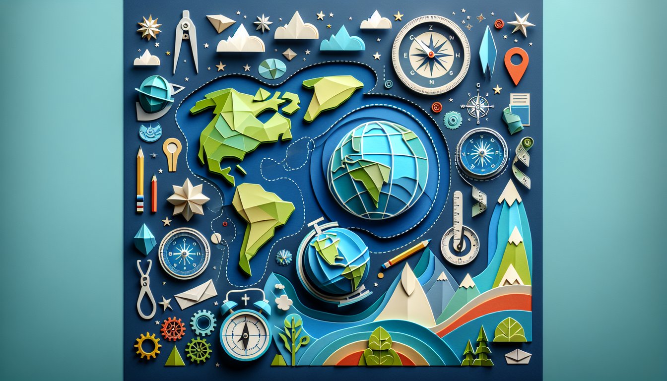
AP Human Geography Vocab Practice Quiz

Practice key terms from Units 1 through 7

Difficulty: Moderate
Grade: Grade 12
Study OutcomesCheat Sheet
Colorful paper art promoting Geo Vocab Challenge, an interactive geography quiz for middle school students.

What is 'culture' in geography?
The lifestyle, beliefs, and practices of a people, including their customs, traditions, and material traits.
A system of maps used for navigation.
The natural environment and physical landforms of an area.
Technical methods of land surveying.
Culture encompasses the accumulated knowledge, behaviors, and practices that define a group. It shapes how people perceive and interact with their world.
What does 'demography' refer to?
The statistical study of human populations, including structure, distribution, and trends.
The art of drawing and designing maps.
The process of cultural diffusion.
A style of urban planning.
Demography involves analyzing population data such as age, sex, and migration patterns. It provides vital insights into population change and human behavior.
What is urbanization?
The process by which rural areas transform into urban centers.
The decline of city populations due to economic collapse.
The preservation of traditional village life.
The construction of new roads in rural areas.
Urbanization describes the growing concentration of populations in cities and towns. This process often leads to economic and environmental changes.
What does the term 'globalization' refer to?
The increasing interconnectedness and interdependence of world economies and cultures.
A local tradition confined to a specific region.
The decline in worldwide communication.
A method to isolate national economies.
Globalization emphasizes the integration of markets, cultures, and politics across borders. It has reshaped economic and social relationships globally.
What is a 'region' in geography?
An area defined by one or more common characteristics, such as climate, culture, or language.
A point location on a map.
Only a political boundary set by government.
A specific street in a city.
A region is a space that exhibits similar physical or cultural features. Geographers use the concept to organize and analyze spatial data.
What is geographic diffusion?
The process of a substance being absorbed into materials.
The spread of cultural features from one area to another.
The erosion of natural landforms due to weather.
The concentration of population in urban centers.
Diffusion in geography refers to the movement of cultural traits and innovations across regions. It helps explain changes in cultural and social dynamics over space.
What does 'sustainability' mean in the context of human geography?
The process of industrial growth without concern for environmental impact.
An approach ensuring that current development does not hinder future generations.
A theoretical model used only in academic research with no practical application.
Treating natural resources as infinite and replenishable.
Sustainability involves using resources in a way that they remain available for the future. It is a key concept in human geography addressing long-term environmental and social well-being.
How is 'location' defined in geography?
A precise point or area on Earth's surface, given by coordinates or addresses.
A cultural practice unique to a community.
A measurement of population density.
The spread pattern of information.
Location refers to the specific position of something on Earth. It can be described using coordinates, addresses, and other spatial data.
What does the term 'place' refer to in geography?
The physical and human characteristics that give meaning to a location.
A map projection used for navigation.
A brief moment in time during a historical event.
An economic theory about urban development.
Place encompasses the qualities and characteristics that make a location unique. It integrates both physical geography and human experiences.
What is the significance of 'scale' in geographic analysis?
It determines the level of detail or extent in spatial studies, from local to global perspectives.
It refers to a device used to measure the weight of geographic samples.
A process to calculate the distance between two locations.
A method for categorizing land cover types.
Scale addresses the level of analysis in geography, influencing the outcomes of spatial studies. It is essential for understanding phenomena at different magnitudes, such as local, regional, and global scales.
How is 'site and situation' analysis used in geography?
Site refers to the physical characteristics of a location, while situation considers the location's relative context and connections.
Both terms describe the same concept of geographic location.
Site pertains to political boundaries, and situation to cultural traits.
Site and situation are used to measure climate variability.
The 'site' is the inherent physical characteristics of a place, whereas 'situation' relates to its location relative to other places. This analysis helps understand how geography affects development and interactions.
What does 'population density' measure?
The number of people living per unit area of land.
The diversity of cultures within a region.
The spread of pollutants across a landscape.
The average size of individual families.
Population density quantifies the number of individuals per unit area, reflecting how crowded a place is. It is a useful measure in planning and resource allocation.
What does 'spatial distribution' refer to in geography?
The pattern of how phenomena are arranged in space.
The diffusion of cultural practices over time.
A method for creating thematic maps.
The process of urbanization in rural areas.
Spatial distribution deals with the arrangement of features or phenomena across areas. It reveals patterns and helps analyze the factors influencing those patterns.
Which of the following best describes 'political geography'?
The study of the spatial distribution of political processes and structures.
A discipline focusing solely on historical events.
An analysis of natural resources distribution.
The study of weather patterns and climates.
Political geography examines the impact of politics on spatial relationships. It encompasses studies on boundaries, territories, and the organization of political power.
What does 'linguistic diffusion' entail in human geography?
The spread of language features, dialects, or linguistic practices across regions.
The process of language extinction due to isolation.
A method of mapping languages using technology.
The statistical analysis of language usage frequency.
Linguistic diffusion refers to the way language spreads across geographical areas. It explains how dialects evolve and how language influences cultural identity over space.
What is the difference between folk and popular culture?
Folk culture is traditional, localized, and passed down through generations, while popular culture is mainstream, widespread, and continuously changing.
Folk culture is primarily about political institutions, while popular culture solely focuses on modern technology.
Folk culture pertains only to rural areas and popular culture to urban areas.
There is no significant difference between folk and popular culture in geography.
The difference lies in their scope and methods of transmission; folk culture is homogeneous and rooted in tradition while popular culture is more dynamic. This distinction helps geographers understand cultural diversity and diffusion.
Define 'cultural landscape' and its significance in geography.
The cultural landscape is the visible imprint of human activity on the environment, including buildings, roads, and land use patterns.
A set of natural features unaffected by human activity.
Only the aesthetic art forms displayed in urban museums.
A technique in abstract painting with no connection to geography.
Cultural landscapes illustrate the interplay between humans and their environment. They are significant as they reveal how cultural practices shape the physical world and are integral to understanding spatial patterns.
What is the concept of 'core-periphery relationship' in geopolitical studies?
It refers to the economic and political disparities between dominant, developed areas (core) and less developed, dependent areas (periphery).
It describes the distribution of natural resources without socio-economic implications.
It is a method for measuring population density in metropolitan regions.
A political system where power rotates among peripheral regions.
The core-periphery model explains how wealth and development are unevenly distributed across regions. It highlights the influence of dominant centers over less developed areas, underscoring global inequalities.
Explain the process of 'urban sprawl' and its impact on human settlements.
Urban sprawl is the uncontrolled expansion of urban areas into adjacent regions, leading to fragmented communities and increased reliance on automobiles.
Urban sprawl refers to the deliberate planning of compact, mixed-use developments.
It describes the seasonal migration of people from cities to rural areas.
A method for calculating the population of urban centers.
Urban sprawl signifies the spread of low-density development beyond city boundaries. This phenomenon often results in environmental degradation and increased traffic congestion, affecting quality of life.
What is 'environmental determinism' and why is it contentious among geographers?
Environmental determinism is the theory that physical geography significantly shapes human culture and societal development, though it is debated for minimizing human agency.
The belief that all environments lead to the same cultural outcomes.
A method of mapping environmental changes using satellite imagery.
An economic theory that relates environmental factors with market trends.
Environmental determinism asserts that the physical environment predisposes societies to develop in certain ways. It is contentious because critics argue that it oversimplifies the complex interplay of social, cultural, and technological factors in human development.
0
{"name":"What is 'culture' in geography?", "url":"https://www.quiz-maker.com/QPREVIEW","txt":"What is 'culture' in geography?, What does 'demography' refer to?, What is urbanization?","img":"https://www.quiz-maker.com/3012/images/ogquiz.png"}

Study Outcomes

  1. Understand essential geographic terminology and concepts.
  2. Analyze the relationships between geographic vocabulary and spatial patterns.
  3. Apply geo terms to interpret maps and geographic data.
  4. Evaluate the impact of geographic concepts on human and physical landscapes.
  5. Demonstrate improved clarity and precision in using geo vocabulary in context.

AP Human Geography Vocab Cheat Sheet

  1. Absolute Location - Absolute location pins down the exact spot on Earth using latitude and longitude, such as 48.8584° N, 2.2945° E for the Eiffel Tower. It's like the Earth's GPS coordinates, giving you a precise address in the globe's grid system. Quizlet Flashcards
  2. Cultural Landscape - This idea highlights how humans leave their mark on the land through buildings, farms, roads, and art. By studying cultural landscapes, you see how culture and environment interact to shape the world around us. Course Notes Flashcards
  3. Diffusion - Diffusion describes how ideas, goods, and cultural traits spread from one place to another, whether by people moving or information traveling. You'll often see this in relocation diffusion (when migrants carry culture with them) or expansion diffusion (when trends ripple outward). Course Notes Flashcards
  4. Five Themes of Geography - Geographers organize study by Location, Place, Human - Environment Interaction, Movement, and Region, offering a complete toolkit to explore Earth. These themes help you break down complex global patterns into clear, manageable topics. Wikipedia - Five Themes of Geography
  5. Scale - Scale refers to the size of the area studied, from a street corner to the entire planet, and shapes how we interpret geographic data. Whether zooming in on local details or stepping back for a global view, scale affects what patterns you'll detect. Course Notes Flashcards
  6. Site and Situation - Site covers a place's physical characteristics like climate and terrain, while Situation describes its relation to other places and networks. Together, they explain why cities develop where they do and how they connect globally. Wikipedia - Site and Situation
  7. Spatial Distribution - Spatial distribution examines how things like populations, resources, or events are arranged across Earth's surface, revealing patterns of clustering or dispersion. It's key for understanding demographics, resource allocation, and environmental impacts. Course Notes Flashcards
  8. Toponym - A toponym is the name given to a place, often reflecting historical events, cultural heritage, or physical features. Studying toponyms helps uncover stories about settlement, migration, and identity. Wikipedia - Toponym
  9. Time Zones - Time zones divide Earth into 24 vertical slices, each roughly 15° of longitude, standardizing local times for travel, communication, and business. Mastering time zones is essential for coordinating activities across countries. Course Notes Flashcards
  10. Geographic Information System (GIS) - GIS integrates hardware, software, and data to capture, analyze, and visualize geographic information, powering everything from urban planning to environmental management. It turns raw data into insightful maps and models. Course Notes Flashcards
Powered by: Quiz Maker