Unlock hundreds more features
Save your Quiz to the Dashboard
View and Export Results
Use AI to Create Quizzes and Analyse Results

Sign inSign in with Facebook
Sign inSign in with Google

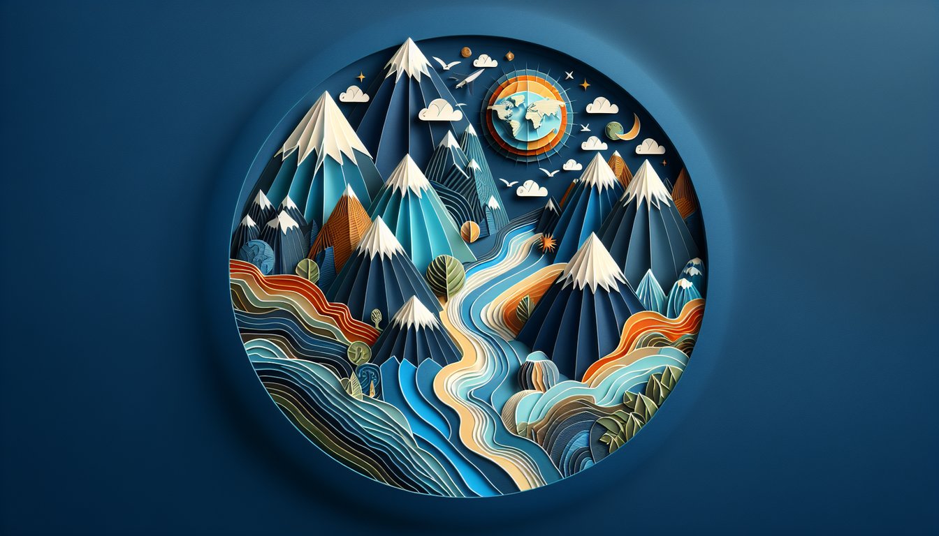
Geologic Features Practice Quiz

Explore quiz questions on accurate geologic features.

Difficulty: Moderate
Grade: Grade 8
Study OutcomesCheat Sheet
Colorful paper art promoting Geo Feature Facts educational trivia for students

Which of the following best describes a volcano?
A vent on the Earth's surface through which molten rock erupts
A depression formed by glacial melting
A landform created by sediment deposition
A plateau formed by erosion
A volcano is a vent in the Earth's surface that allows magma to escape. The erupting material, when deposited, can build up to form a mountain over time.
What are sedimentary rocks primarily formed by?
Compaction and cementation of sediments like sand and clay
Cooling and solidification of molten lava
Transformation of pre-existing rocks under heat and pressure
Crystallization of minerals from hydrothermal solutions
Sedimentary rocks form from layers of sediments that are compacted and cemented together. This process usually occurs in water bodies or by wind deposition over time.
What does the term 'erosion' refer to?
The process of gradually wearing away Earth's surface by wind, water, or ice
The accumulation of sediments over time
The sudden movement of rock and soil down a slope
The uplift of Earth's crust due to tectonic forces
Erosion is the natural process of removing soil and rock from the Earth's surface through agents such as wind, water, and ice. This gradual process significantly alters the landscape over time.
Which natural feature is formed primarily by the deposition of sediments by a river?
A river delta
A mid-ocean ridge
A volcanic island
A glacial moraine
A river delta forms when a river deposits its sediments as it slows down upon entering a larger body of water. This process results in a typical fan-shaped landform.
What term describes the breakdown of rocks into smaller particles by natural forces?
Weathering
Erosion
Deposition
Sedimentation
Weathering is the process by which rocks are broken down into smaller particles via chemical or physical means. It occurs in place, distinguishing it from erosion which involves the transportation of these particles.
How do plate tectonics contribute to the formation of mountains?
Collision of tectonic plates leads to the uplift of the Earth's crust
Tectonic plates diverge, spreading the ocean floor
Erosion of plate boundaries forms elevated land
Plate tectonics cause weathering of rock surfaces
Mountain formation is often the result of tectonic plates colliding, which compresses and uplifts the crust. This orogenic process builds mountain ranges over extended periods.
Which type of rock is most likely to exhibit foliation due to heat and pressure?
Metamorphic rock
Igneous rock
Sedimentary rock
Extraterrestrial rock
Foliation is the alignment of minerals under directed pressure, which is a characteristic feature of metamorphic rocks. Igneous and sedimentary rocks do not typically display foliation.
What is the primary process responsible for the formation of sedimentary rock layers?
Deposition of sediments over time
Cooling and solidification of magma
Heat and pressure on pre-existing rocks
Intrusive activity of molten rock
Sedimentary rocks form primarily through the deposition of sediments that are later compacted and cemented over time. This process distinguishes them from igneous or metamorphic rocks.
Which boundary type is associated with the formation of mid-ocean ridges?
Divergent plate boundaries
Convergent plate boundaries
Transform plate boundaries
Collision boundaries
Mid-ocean ridges form at divergent plate boundaries where tectonic plates move apart, allowing magma to rise and create new oceanic crust. This continuous process renews the ocean floor.
Which process is primarily responsible for smoothing and rounding rock surfaces?
Weathering
Erosion
Deposition
Metamorphism
Weathering breaks down and smooths the surfaces of rocks through chemical and physical actions. Unlike erosion, it does not involve the transportation of rock particles.
What term describes an area where a river splits into several channels before meeting a larger body of water?
Delta
Estuary
Alluvial fan
Floodplain
A delta is formed when a river splits into multiple distributaries as it approaches a larger body of water, depositing sediment. This characteristic branching pattern is a key feature of deltas.
Which statement best characterizes a watershed?
An area of land where all water drains to a common outlet
A boundary separating different climate zones
A region formed by the accumulation of sediments
A lowland area prone to flooding
A watershed is a drainage basin where all precipitation converges to a single point. It is a fundamental concept for understanding water flow and resource management.
Which process involves the movement and deposition of particles by wind?
Aeolian processes
Fluvial processes
Glacial processes
Tectonic processes
Aeolian processes are driven by wind, which transports and deposits sediments, particularly in arid regions. This process is a key factor in shaping desert landscapes.
How does a landslide differ from gradual erosion?
A landslide is a sudden mass movement of rock and soil, while erosion is a slow, continuous process
Landslides occur in arid areas, whereas erosion happens only in wet regions
Landslides are caused by wind, unlike erosion which is caused by water
Landslides involve chemical weathering, while erosion involves physical weathering
A landslide is a rapid, gravity-driven event where large amounts of rock and soil move suddenly down a slope. In contrast, erosion is a gradual process that slowly wears away surfaces over time.
What is the significance of fault lines in geology?
Fault lines mark fractures in Earth's crust where movement and stress release have occurred
Fault lines are solely responsible for the generation of sedimentary rocks
They indicate regions where volcanic activity is minimal
Fault lines are boundaries where only erosion occurs
Fault lines are fractures in the Earth's crust resulting from tectonic movements. They play a crucial role in understanding the mechanics of earthquakes and crustal deformation.
How does subduction contribute to volcanic activity?
Subduction causes one tectonic plate to sink and melt, generating magma that leads to volcano formation
Subduction separates tectonic plates, reducing magma formation
Subduction only causes the formation of sedimentary basins
Subduction cools the mantle, preventing volcanic eruptions
Subduction occurs when one tectonic plate sinks beneath another, subjecting it to high pressures and temperatures that cause melting. The resulting magma rises to form volcanoes along subduction zones.
Which type of metamorphism is typically associated with large-scale tectonic events?
Regional metamorphism
Contact metamorphism
Hydrothermal metamorphism
Cataclastic metamorphism
Regional metamorphism affects large areas of the Earth's crust during tectonic events such as mountain building. It results from the combined effects of high pressure and temperature over extensive regions.
What is the role of mantle plumes in shaping Earth's surface?
Mantle plumes bring hot material from deep within the Earth to create volcanic hotspots
They cool the Earth's crust and halt tectonic movement
Mantle plumes primarily form sedimentary basins
They are responsible for the erosion of mountain ranges
Mantle plumes are columns of hot, buoyant material that rise from deep within the Earth. Their upwelling can cause localized melting of the crust, leading to the formation of volcanic hotspots.
How do geologic features like mountains influence local weather patterns?
Mountains can alter wind flow and create rain shadows, significantly affecting local climate
Mountains have no impact on weather or climate patterns
Mountain ranges only cause increased humidity in nearby areas
Geologic features solely affect seismic activities, not weather
Mountains force air to rise, which cools and condenses water vapor, leading to precipitation on the windward side while creating drier conditions on the leeward side (rain shadow effect). This significantly impacts local weather and climate.
Why are transform plate boundaries often associated with earthquake activity?
Transform boundaries involve lateral sliding of plates, which builds up stress that is released as earthquakes
Transform boundaries lead to volcanic eruptions due to subduction
They cause slow sediment deposition, reducing tectonic stress
They are characterized by the upward movement of magma rather than lateral motion
Transform boundaries involve tectonic plates sliding past each other horizontally, which creates friction and stress along the boundary. When this stress is released suddenly, it results in earthquakes.
0
{"name":"Which of the following best describes a volcano?", "url":"https://www.quiz-maker.com/QPREVIEW","txt":"Which of the following best describes a volcano?, What are sedimentary rocks primarily formed by?, What does the term 'erosion' refer to?","img":"https://www.quiz-maker.com/3012/images/ogquiz.png"}

Study Outcomes

  1. Identify key geographical features and their characteristics.
  2. Describe the formation and evolution of geologic features.
  3. Analyze statements to determine accurate descriptions of geologic phenomena.
  4. Evaluate personal understanding to identify strengths and areas for improvement.
  5. Apply geological concepts and terminology to interpret quiz questions effectively.

Quiz: Which Statement on Geologic Features? Cheat Sheet

  1. Explore Rock Types - Geology kicks off with three rock families: igneous, sedimentary, and metamorphic. Igneous rocks form from cooled magma, sedimentary from compressed sediments, and metamorphic when existing rocks bend under heat and pressure. Unearth more details at University of Kentucky Geology Education.
  2. Master Plate Tectonics - Plates that make up Earth's crust are always on the move, colliding and pulling apart to create mountains, earthquakes, and volcanoes. Understanding this dynamic dance helps explain why continents drift and why seismic events occur. Dive into interactive maps at USGS Geology Education.
  3. Weathering vs. Erosion - Weathering breaks rocks into smaller pieces, while erosion carries those pieces away via wind, water, or ice. Together, they sculpt Earth's surface over eons, carving valleys and building deltas. See real‑world examples at BrainPOP Educators: Geological Features.
  4. Decode Fossils - Fossils are nature's time capsules, preserving clues about ancient life and environments. By studying them, you can reconstruct past ecosystems and track evolution. Browse fossil finds at GSA K - 12 Resources.
  5. Identify Landforms - Mountains, valleys, plateaus, and plains each tell a story of uplift, erosion, or deposition. Spotting these features helps you visualize Earth's past forces. Preview stunning geologic landscapes at NPS Geology Resources.
  6. Connect the Water Cycle - Rain and rivers don't just hydrate - they erode, transport, and deposit sediments across the globe. This process shapes coastlines, carves canyons, and forms fertile floodplains. Learn more at NSF Earth & Environment Resources.
  7. Survey Karst Landscapes - Karst terrains form when slightly acidic water dissolves soluble rocks like limestone, creating caves, sinkholes, and underground streams. These hidden worlds are both stunning and vital for groundwater storage. Explore cave science at USGS Geology Education.
  8. Investigate Volcanic Activity - Volcanoes don't just erupt lava; they forge islands, reshape terrain, and influence climate. Studying volcanic hazards helps predict eruptions and protect communities. Ignite your curiosity at USGS Volcano Hazards Program.
  9. Glacial Mechanics - Glaciers are slow-moving rivers of ice that carve U‑shaped valleys and deposit moraines. Their advance and retreat leave dramatic marks on the landscape and record past climates. Chill out with glacier data at USGS Geology Education.
  10. Read Geologic Maps - Geologic maps use colors and symbols to show rock types, fault lines, and more - essential for piecing together Earth's history. Learning to interpret them is like unlocking a treasure map of ancient events. Get started with NPS Geologic Maps Lesson.
Powered by: Quiz Maker