Unlock hundreds more features
Save your Quiz to the Dashboard
View and Export Results
Use AI to Create Quizzes and Analyse Results

Sign inSign in with Facebook
Sign inSign in with Google
Quizzes > High School Quizzes > Social Studies

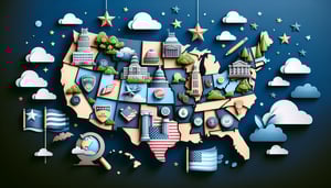
Central America Map Quiz Practice

Boost your map skills with fun questions

Difficulty: Moderate
Grade: Grade 6
Study OutcomesCheat Sheet
Paper art depicting a trivia quiz about Central America geography for middle school students.

Which of the following countries is located in Central America?
Nicaragua
Brazil
Argentina
Canada
Nicaragua is one of the recognized Central American countries, while Brazil, Argentina, and Canada are located in other regions. This helps reinforce basic geographic identification.
How many sovereign countries make up Central America?
7
6
5
8
Central America is composed of 7 countries: Belize, Costa Rica, El Salvador, Guatemala, Honduras, Nicaragua, and Panama. This question reinforces the overall knowledge of the region's composition.
What is the capital of Costa Rica?
San José
Tegucigalpa
Guatemala City
Managua
San José is the capital city of Costa Rica, one of the essential facts for Central American geography. The other cities belong to different countries in the region.
Which country is renowned for its national parks, volcanoes, and rich biodiversity?
Costa Rica
Belize
Honduras
Panama
Costa Rica is internationally recognized for its commitment to environmental conservation, active volcanoes, and diverse ecosystems. This eco-friendly focus makes it a standout nation in Central America.
Which body of water lies to the east of Central America?
Caribbean Sea
Pacific Ocean
Gulf of Mexico
Indian Ocean
The Caribbean Sea borders the eastern side of Central America, providing a distinct geographic marker. In contrast, the Pacific Ocean lies to the west, further highlighting regional differences.
Which of the following pairs best represents a Central American country and its capital?
Guatemala - Guatemala City
Belize - Kingston
Panama - San Salvador
Honduras - San José
Guatemala City is the capital of Guatemala, which is a Central American country. The other pairs mismatch countries with capitals, making this an exercise in accurate identification.
On an interactive map, which Central American country is located directly south of Guatemala?
El Salvador
Nicaragua
Honduras
Costa Rica
El Salvador lies immediately to the south of Guatemala, and recognizing neighboring borders is key to mastering map skills. This reinforces spatial awareness and geographic relationships.
Which Central American country has coastlines on both the Caribbean Sea and the Pacific Ocean?
Panama
Honduras
El Salvador
Belize
Panama uniquely offers coastlines on both the Caribbean Sea and the Pacific Ocean, underscoring its strategic maritime location. This dual coastal feature is not shared by the other listed countries.
Which Central American country is the smallest by land area?
El Salvador
Belize
Guatemala
Panama
El Salvador is known as the smallest country in Central America by land area. This basic geographical fact helps students differentiate between the nations based on size.
Which of these countries is known for its significant Mayan archaeological sites?
Guatemala
Panama
Nicaragua
Costa Rica
Guatemala is renowned for its Mayan ruins, including the famous site of Tikal. Studying these sites enriches students' understanding of cultural and historical geography in the region.
On an interactive map, how can students improve their identification of Central American features?
By learning country borders and capital locations
By ignoring natural landmarks
By only focusing on one country
By using only memory without maps
Learning the precise borders and capitals of Central American countries is vital for accurate map reading. This strategy builds a strong foundation in geographic literacy and spatial reasoning.
Which Central American country's capital is Tegucigalpa?
Honduras
Guatemala
El Salvador
Belize
Tegucigalpa is the capital city of Honduras, making it a key fact for students to remember in Central American geography. Accurate identification of capitals supports overall map comprehension.
Which country is often described as the 'land bridge' connecting North and South America?
Panama
Costa Rica
Guatemala
El Salvador
Panama's geographic location, along with the Panama Canal, emphasizes its role as a connector between North and South America. This unique position is fundamental in understanding regional geography.
Which Central American nation is predominantly English-speaking compared to its neighbors?
Belize
Costa Rica
Guatemala
Honduras
Belize is distinct in the region as its official language is English, setting it apart from its predominantly Spanish-speaking neighbors. This linguistic difference is a key cultural and geographic identifier.
Which natural feature significantly influences Central America's climate and supports its biodiversity?
Rainforests
Deserts
Tundra
Glaciers
Rainforests play a crucial role in maintaining the region's climate and are home to a vast array of species, thereby enhancing biodiversity. Their presence is fundamental to the ecological balance in Central America.
In the context of Central America's geology, what process is primarily responsible for its volcanic activity?
Subduction of oceanic plates
Rifting of continental plates
Collision of tectonic plates leading to mountain building
Mantle plume activity unrelated to plate boundaries
The volcanic activity in Central America is predominantly due to the subduction of oceanic plates beneath continental plates. This process causes melting in the mantle that leads to the formation of volcanoes across the region.
How does the Panama Canal influence global maritime trade?
It shortens shipping routes and reduces transit time
It primarily facilitates local commerce only
It is exclusively used for military purposes
It isolates the region from international trade
The Panama Canal provides a critical shortcut between the Atlantic and Pacific Oceans, dramatically reducing transit times for maritime trade. Its efficiency boosts global commerce by lowering shipping costs and enhancing trade flows.
What is one of the most direct consequences of climate change in Central America?
Increased frequency and intensity of hurricanes
Expansion of deserts in Central Europe
Accelerated glacial melting in the Alps
Decreased ocean salinity
One of the most observable impacts of climate change in Central America is the increased frequency and severity of hurricanes. These extreme weather events challenge infrastructure and affect the lives of local communities.
From a geographical perspective, why does Central America exhibit high biodiversity in its rainforests?
The varied climates and microhabitats support a wide range of species
The region's uniform climatic conditions restrict species diversity
Urban development encourages exotic species proliferation
Deforestation leads to increased native species
Central America's diverse climates and topographical variations create numerous microhabitats. This diversity enables a high level of species variety, particularly in rainforest ecosystems.
Considering the use of geographic information systems (GIS), which skill is most crucial when interpreting interactive maps of Central America?
Accurate spatial data interpretation
Ignoring the available overlays
Relying solely on memorized information
Focusing only on aesthetic design
Effective use of GIS tools depends on accurately interpreting spatial data from the map layers. This analytical skill enables users to extract meaningful geographic information and make informed decisions.
0
{"name":"Which of the following countries is located in Central America?", "url":"https://www.quiz-maker.com/QPREVIEW","txt":"Which of the following countries is located in Central America?, How many sovereign countries make up Central America?, What is the capital of Costa Rica?","img":"https://www.quiz-maker.com/3012/images/ogquiz.png"}

Study Outcomes

  1. Identify key Central American countries on an interactive map.
  2. Locate geographic regions and boundaries within Central America.
  3. Analyze spatial relationships between neighboring countries.
  4. Interpret map symbols and labels with precision.
  5. Apply learned geography skills to practice tests and assessments.

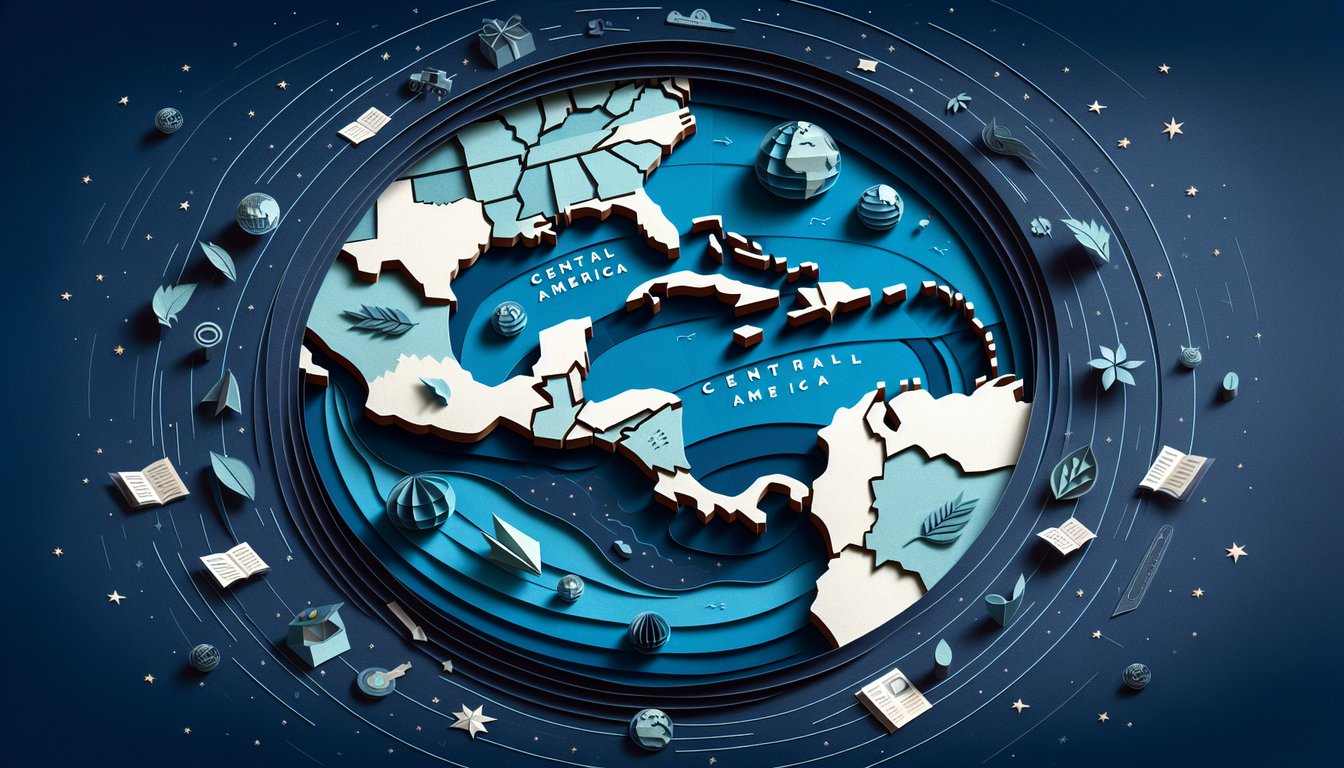
Central America Map Cheat Sheet

  1. Master the seven Central American countries and their capitals - From Belize's Caribbean shores to Panama's busy metropolis, each country has its own flair. Mapping out Belize, Costa Rica, El Salvador, Guatemala, Honduras, Nicaragua, and Panama will turn you into a regional whiz. Britannica: Central America
  2. Grasp the isthmus concept - Central America is the narrow land bridge linking North and South America, sandwiched between the Pacific and the Caribbean Sea. Its position creates unique weather patterns and habitats you'll love exploring on your map. Britannica: Central America
  3. Spot the major mountain ranges - The Cordillera Isabelia and Cordillera de Talamanca dominate the skyline, affecting both climate and human settlement. Visualize these highlands to understand how elevation shapes life below. FreeWorldMaps: Central America Map
  4. Identify key bodies of water - The warm Caribbean Sea to the east and the expansive Pacific Ocean to the west are vital for trade, travel, and tropical storms. Knowing their coastlines helps explain everything from shipping routes to sandy beach resorts. Britannica: Central America
  5. Explore diverse ecosystems - Central America boasts lush rainforests, misty cloud forests, and coastal mangroves teeming with wildlife. Understanding these habitats reveals why the region is one of the planet's biodiversity hotspots. Britannica: Central America
  6. Dive into ancient Maya heritage - The Maya civilization left behind stunning pyramids, carvings, and a calendar that still fascinates scholars. Tracing their cultural footprint will deepen your appreciation for modern traditions across the region. Britannica: Central America
  7. Learn about volcanoes and earthquakes - The Central American Volcanic Arc cradles active volcanoes like Arenal and Fuego, making the landscape dramatic and dynamic. Studying seismic hotspots helps you predict hazards and marvel at nature's power. Britannica: Central America
  8. Understand the Panama Canal's impact - This ingenious waterway cuts through the Isthmus of Panama, linking the Atlantic and Pacific Oceans. Its creation revolutionized global shipping and continues to shape regional economies. Britannica: Panama Canal
  9. Recognize the role of agriculture - Coffee, bananas, and sugar cane line the fertile valleys and plateaus of Central America. Knowing which crops thrive where explains local economies and international trade patterns. Britannica: Central America
  10. Celebrate linguistic and cultural diversity - Spanish dominates, but English, Creole, and indigenous languages like K'iche' and Miskito add vibrant layers. Exploring this mosaic of tongues and traditions uncovers the true soul of the isthmus. Britannica: Central America
Powered by: Quiz Maker