Quizzes > High School Quizzes > Social Studies
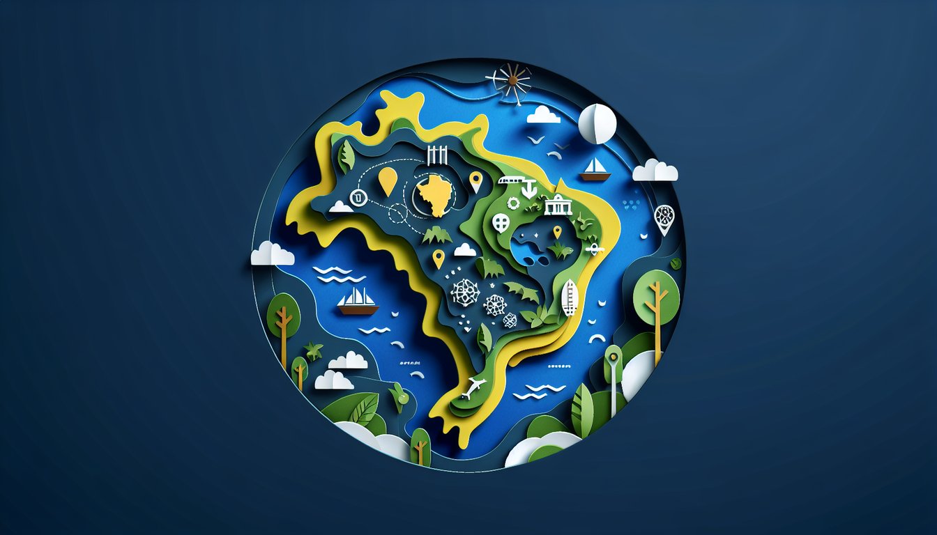
Brazilian States Practice Quiz
Boost your geography skills with engaging challenges
Study Outcomes
- Identify the states of Brazil and their locations on a map.
- Recall key facts and characteristics associated with each Brazilian state.
- Analyze geographical patterns and regional differences across the country.
- Apply knowledge to assess and improve test performance in Brazilian geography.
Brazilian States Cheat Sheet
- Brazil's 26 States & the Federal District - Get ready to tour over 26 vibrant states plus the unique Federal District, each with its own cultural flair and capital city. Picture yourself hopping from BrasÃlia's modernist skyline to Salvador's colonial charm! Memorizing these capitals unlocks the map of Brazil like a pro. Study State Capitals on BrainScape
- The Mighty Amazon River - This colossal waterway snakes over 4,000 miles, making it the world's second-longest river and the lifeblood of the Amazon Rainforest. From the Peruvian Andes to the Atlantic Ocean, its course shapes ecosystems and local communities alike. Understanding its flow is key to grasping Brazil's hydro‑geography. Learn More on Wikipedia
- The Vast Amazon Rainforest - Covering most of northern Brazil, this is the largest, greenest playground on Earth bursting with crazy biodiversity. Think harpy eagles, pink river dolphins, and towering canopy layers. Know which states it spans to appreciate its ecological superstar status. Explore Amazonas State
- The Spectacular Pantanal - Imagine the world's biggest tropical wetland shimmering under the sun, home to jaguars, giant otters, and thousands of bird species. Mostly in Mato Grosso do Sul, this watery wonderland is a biodiversity hotspot you can't miss. Knowing its location reveals Brazil's wetland wonders. Discover Pantanal on Wikipedia
- The Colorful Cerrado - This sprawling tropical savanna covers central Brazil with golden grasses, twisted trees, and unique wildlife like the maned wolf. It's both an agricultural battleground and a conservation challenge rolled into one. Recognizing its biome clues you in on Brazil's heartland. Read About the Cerrado on Wikipedia
- The Brazilian Highlands - Also known as Planalto Brasileiro, these rolling plateaus dominate central and eastern Brazil, shaping the country's river systems and climate zones. From coffee plantations to mining towns, they're the backbone of Brazil's topography. Mapping their reach helps you visualize highland life! Highlands Explained on Wikipedia
- Rio Grande do Sul's Crops - Down in southern Brazil, Rio Grande do Sul is a rice and tobacco powerhouse, fueling local economies and exporting global flavors. From plush paddy fields to tobacco estates, it showcases Brazil's agricultural diversity. Spotting these industries sharpens your regional insights. More on Rio Grande do Sul
- Goiás: Grain Giant - Bursting onto the scene with soybeans and corn, Goiás sows a huge share of Brazil's cereal crops. Whether you love corn on the cob or soy-based treats, this state is the unsung hero behind the feast. Knowing its agricultural clout completes your foodie geography. Discover Goiás on Wikipedia
- Amazonas State Explorer - Almost swallowed by the rainforest, Amazonas is a living laboratory for biodiversity and indigenous cultures. Its rivers, like the Negro and Madeira, pulse with life and stories. Grasping this state's vastness underscores Brazil's environmental epicenter. Explore Amazonas State
- Rio Grande do Sul's Wine & Industry - Beyond grains, this southern gem produces fine wines and hosts thriving beef and machinery industries, blending tradition with modernity. Picture sprawling vineyards, chimarrão gatherings, and bustling factories. Recognizing these economic pillars rounds out your state SWOT! Learn More on Wikipedia