Quizzes > High School Quizzes > Social Studies
Middle East Map Quiz Practice Test
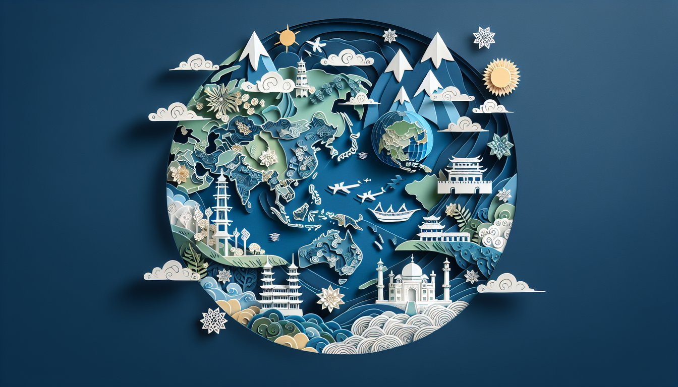
Sharpen your geography skills in Asia and Africa
Study Outcomes
- Identify major geographical features and regions in Asia and the Middle East.
- Analyze map elements, including symbols and legends, to interpret spatial information.
- Evaluate the spatial relationships between physical and political boundaries.
- Apply geographic concepts to answer quiz questions effectively.
- Interpret map data to assess overall regional significance and characteristics.
Middle East Map Cheat Sheet
- Familiarize with major Middle East countries - Kick off your journey by pinning down Saudi Arabia, Iran, Iraq, Turkey, and Egypt on the map. Visualizing where each sits helps you build a mental roadmap for history lessons and news headlines. Think of it like connecting the dots between ancient trade routes! Lizard Point Geography Quiz
- Learn the capital cities - Make friends with Riyadh, Tehran, Baghdad, Ankara, and Cairo to boost your map recognition skills. Mastering these names will have you sounding like a geography champ in no time. Bonus: spotting them quickly is great for quiz show glory! Britannica: A View of the Middle East
- Identify key bodies of water - Dive into the Persian Gulf, Red Sea, Caspian Sea, and Mediterranean Sea, which shaped trade, culture, and ecosystems across the region. Mapping these waters gives insight into historic shipping routes and climate patterns. Plus, they're perfect for plotting maritime adventures in your study sessions. Quizlet Flashcards
- Trace the Tigris and Euphrates rivers - Flow along these mighty rivers in Iraq, cradle of Mesopotamia and some of the world's earliest civilizations. Their fertile banks fueled agriculture and empires long before modern borders existed. Hint: "Mesopotamia" literally means "land between rivers!" DoQuizzes Map Quiz
- Recognize major deserts - Stare down the Rub' al Khali (the Empty Quarter) and the vast Syrian Desert to understand how sand sculpted local climates and lifestyles. These dramatic landscapes host unique flora, fauna, and Bedouin traditions. Fun fact: the Rub' al Khali spans an area larger than France! Quizlet Flashcards
- Explore the Fertile Crescent - Delve into the arc from the Mediterranean to the Persian Gulf where farming, writing, and cities first sprouted. This "cradle of civilization" saw humanity's leap from foraging to organized agriculture. Imagine the first farmers turning wild grains into bread right here! Quizgecko Geography Quiz
- Understand the Suez Canal - Marvel at the Suez Canal, a 19th‑century engineering feat linking the Mediterranean Sea to the Red Sea. It revolutionized global trade by slashing voyage times between Europe and Asia. Picture massive cargo ships zipping through this desert shortcut! Quizlet Flashcards
- Study the Strait of Hormuz - Focus on this narrow gateway between the Persian Gulf and Gulf of Oman, where over a fifth of the world's oil passes each day. Its strategic importance makes it a global geopolitical hotspot. Small on the map, big in impact! Britannica: A View of the Middle East
- Map the Arabian Peninsula - Chart out the sandy expanse of Saudi Arabia, Yemen, Oman, and beyond, home to vast deserts and vibrant cultures. This peninsula's name literally means "land of the Arabs," reflecting its rich heritage. Pro tip: its oil wells and Bedouin camps tell two sides of the same story. Quizgecko Geography Quiz
- Spot major mountain ranges - Ascend the Zagros Mountains in Iran and the Caucasus between the Black and Caspian Seas to see how peaks shape climate and culture. These ranges acted as natural barriers, fostering diverse languages, wildlife, and traditions. Bonus: they're home to some of the most breathtaking vistas in the region! Quizlet Flashcards