Unlock hundreds more features
Save your Quiz to the Dashboard
View and Export Results
Use AI to Create Quizzes and Analyse Results

Sign inSign in with Facebook
Sign inSign in with Google

Weekly Table Top Rally Quiz Challenge

Sharpen Your Rally Tactics with Practice Quiz

Difficulty: Moderate
Questions: 20
Learning OutcomesStudy Material
Colorful paper art depicting elements related to Weekly Table Top Rally Quiz.

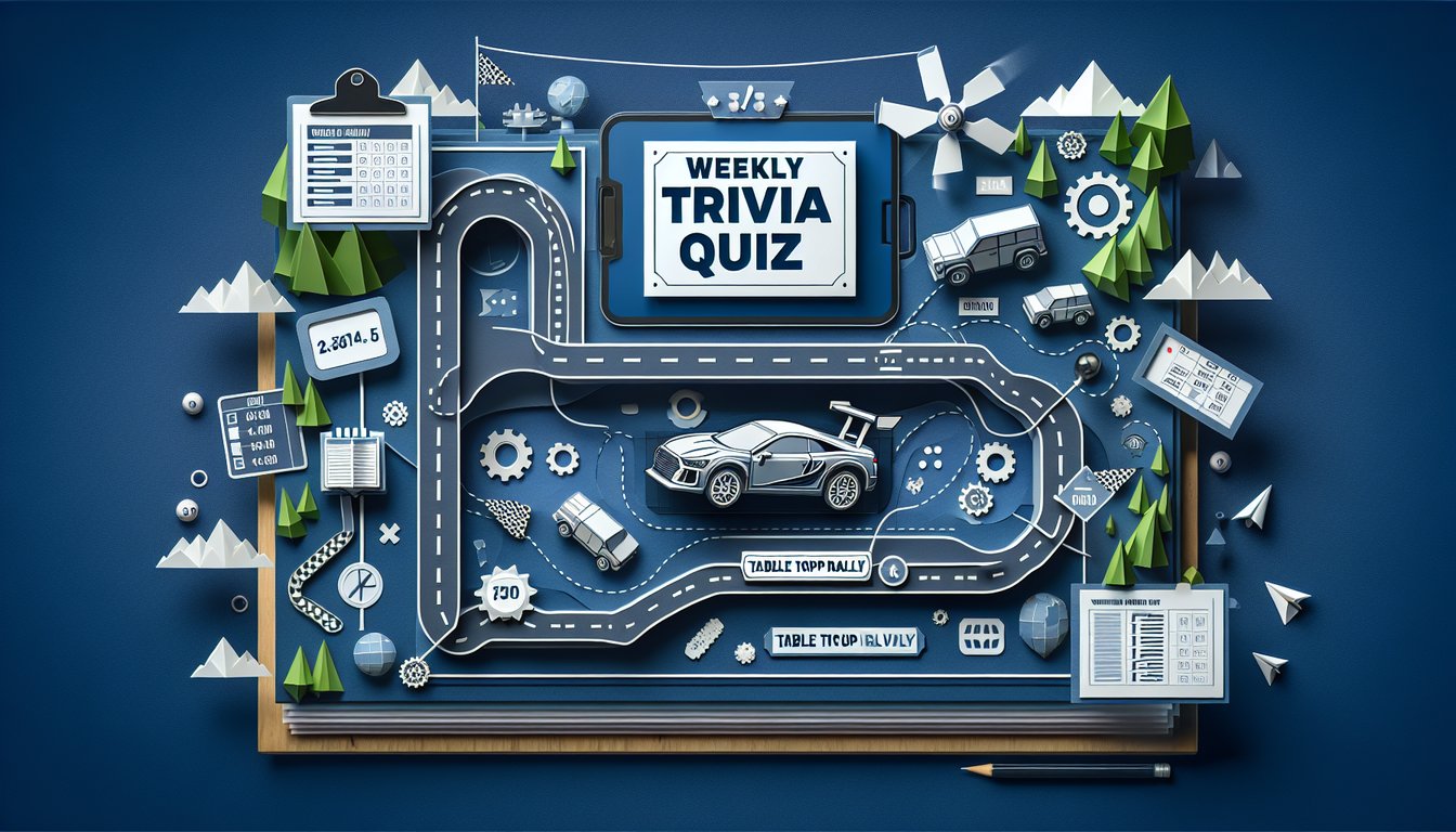
Ready to test your tabletop rally skills? The Weekly Table Top Rally Quiz offers 15 thought-provoking questions designed to sharpen your rally tactics and navigation know-how. Ideal for board game enthusiasts and strategy fans, this quiz helps you evaluate key course decisions and map-reading techniques. Participants can freely tailor question sets in our editor and explore similar challenges like the Weekly General Knowledge Trivia Quiz or dive into our Weekly Trivia Quiz Series . Get started with more engaging quizzes today.

What does a map scale of 1:50,000 mean on a tabletop rally map?
1 cm on the map represents 50 km on the ground
1 cm on the map represents 500 m on the ground
1 mm on the map represents 50 m on the ground
1 cm on the map represents 5 km on the ground
A 1:50,000 scale means that one unit on the map equals 50,000 of the same units in reality. Thus, one centimeter corresponds to 50,000 centimeters, or 500 meters, on the ground. This is essential for accurate distance estimation.
On a rally map, what do contour lines indicate?
Locations of water features
Changes in vegetation density
Changes in elevation and slope
Boundaries between properties
Contour lines link points of equal elevation and reveal the shape of the terrain. Closely spaced lines indicate steep slopes, while wider spacing indicates flatter areas. Proper interpretation helps crews anticipate elevation changes.
Which term refers to a specific geographic location the crew must navigate to?
Hazard
Sector
Waypoint
Split
A waypoint is a defined point on the route used for navigation and timing. It marks positions crews must reach in sequence. Recognizing waypoints is essential for following the planned course.
Which tool is commonly used to measure the angle between two points on a rally map?
Compass
Ruler
Protractor
Dividers
A protractor is designed to measure angles on maps and diagrams. It allows crews to determine direction changes precisely. This is important for plotting accurate courses.
In a tulip diagram, what information is typically depicted?
Surface conditions such as loose gravel
Direction and distance to the next point
Elevation changes in the section
Recommended speed for the segment
Tulip diagrams visually represent the direction and approximate distance between waypoints. They simplify complex junctions into clear, sequential sketches. This helps drivers and co-drivers anticipate each maneuver.
On a rally map, closely spaced contour lines indicate what about the terrain?
Flat terrain
Steep gradient
Water depth
Vegetation density
When contour lines appear close together, the elevation changes rapidly over a short horizontal distance, indicating a steep slope. Wide spacing suggests gentle slopes. Recognizing steep sections can affect speed and safety decisions.
To maintain an average speed of 50 km/h over a 20 km rally section, how many minutes should the crew allocate?
20 minutes
24 minutes
30 minutes
36 minutes
Time equals distance divided by speed. Dividing 20 km by 50 km/h gives 0.4 hours, which converts to 24 minutes. Accurate time calculations help crews meet tight stage schedules.
When approaching a sharp right-hand bend on loose gravel, which tactic best manages risk?
Accelerate into the turn
Maintain current speed until the apex
Brake sharply at the apex
Reduce speed early before the corner
Reducing speed before a loose-surface corner allows for better control and reduces sliding risk. Waiting until the apex or braking sharply can lead to loss of traction. Early speed adjustment is key for safety.
Which environmental factor most increases navigational risk during a tabletop rally?
Uniform-looking landmarks
Clear, bilingual road signs
Bright daylight conditions
Distinct vegetation boundaries
When multiple landmarks appear similar, it becomes harder to confirm the correct route. Clear or distinct features reduce confusion. Identifying unique markers is crucial for accurate navigation.
If a route note is unclear, what is the most effective immediate action for the co-driver?
Continue driving and follow instincts
Slow down and verify the note against the map
Ignore the note and wait for the next one
Stop and solicit advice from spectators
Slowing down to cross-check route notes with the map helps avoid wrong turns or missed waypoints. Following instincts can lead to errors, and stopping for spectators wastes time. Verification ensures accuracy.
On many rally maps, a thick solid line usually represents what feature?
Watercourse
Footpath
Major road
Minor dirt track
A thick solid line typically denotes a primary or major road that can handle higher speeds. Other symbols, like dashed or thin lines, denote smaller tracks or paths. Identifying road hierarchy aids route choice.
After losing two minutes on one segment with no time buffer, what is the best time-management adjustment on the next section?
Ignore the delay and maintain pace
Reduce speed to avoid further mistakes
Try to regain time by safely increasing pace
Request a time extension from officials
Safely increasing pace within vehicle limits allows crews to recover lost time without compromising safety. Simply maintaining or reducing speed won't offset the delay, and extensions are not typically granted.
What does the term "split time" refer to in rally timing?
Time difference between two competing cars
Time taken to travel between two waypoints
Cumulative time from start to a control point
Average time expected for the entire stage
Split time is the accumulated time from the stage start to a specific control point. Crews monitor splits to check against target schedules. It helps manage pace and identify delays early.
When map symbols are ambiguous mid-stage, what should the team do?
Guess the feature and proceed
Stop to ask nearby spectators
Mark a tentative feature and confirm at the next landmark
Ignore symbols and stick to main roads
Marking a tentative feature lets the crew continue moving while cross-checking at the next clear reference. Stopping or guessing can cause time loss or wrong turns. This balances speed and accuracy.
Which instrument in a rally car is used to measure distance by wheel rotations?
Odometer
Altimeter
Stopwatch
Compass
An odometer measures distance traveled by counting wheel rotations, allowing crews to track how far they have gone on each segment. This is essential for correlating distance-based route notes. Other instruments serve different functions.
During a high-speed fork junction with both an inside tight line and an outside wide line options, which should be chosen on wet tarmac to balance speed and safety?
Inside line to minimize distance
Outside wide line to maintain better traction
Straight through ignoring the fork
Come to a complete stop to choose
On wet surfaces, wider lines often offer better grip by avoiding sharp angles and standing water. Although the inside line is shorter, it increases the chance of losing traction. Safety must guide line choice under such conditions.
A stage features staggered boulder fields requiring precise car placement; how should the navigator adjust the plan?
Maintain usual pace and rely on driver skill
Plan a slower approach with earlier turning markers
Ignore the boulders and drive around them randomly
Exit the map entirely and follow intuition
Staggered obstacles demand reduced speed for control and advance cueing to the driver. Early marker recognition ensures accurate placement. Relying solely on skill without adjusting pace increases collision risk.
If a route sketch indicates a marsh symbol adjacent to the planned path, what is the optimal tactical adjustment?
Speed through the marsh to save time
Maintain center line of the road
Widen the turn to avoid the marsh area
Stop and inspect on foot
Widening the turn keeps the vehicle on firmer ground and reduces the risk of getting stuck or sliding. Marshy terrain can be unpredictable under a heavy rally car. Early adjustment ensures smooth passage.
At a junction with confusing route notes and conflicting road signs, what is the best decision-making approach?
Follow the most prominent road sign
Rely on the compass heading and slow down to confirm notes
Ignore the map and choose the larger road
Stop and request clarification from officials
Using a compass heading allows teams to verify direction independently of uncertain signage. Slowing down provides time to reconcile route notes with real-world cues. This method preserves accuracy without major time loss.
On a cliff-edge stage with potential crosswind hazards, how should crews adjust their tactic?
Increase speed to pass the section quickly
Reduce speed and choose a conservative line away from the edge
Hug the cliff edge for driver visibility
Maintain normal pace but turn the wheel earlier
Reducing speed and selecting a line further from the edge reduces the impact of sudden gusts and margin for error. High speeds near a drop-off amplify risk. Conservative tactics preserve safety under unstable wind conditions.
0
{"name":"What does a map scale of 1:50,000 mean on a tabletop rally map?", "url":"https://www.quiz-maker.com/QPREVIEW","txt":"What does a map scale of 1:50,000 mean on a tabletop rally map?, On a rally map, what do contour lines indicate?, Which term refers to a specific geographic location the crew must navigate to?","img":"https://www.quiz-maker.com/3012/images/ogquiz.png"}

Learning Outcomes

  1. Identify essential elements of tabletop rally scenarios
  2. Demonstrate effective map-reading and navigation skills
  3. Analyse strategic decision points for course completion
  4. Apply time-management techniques under rally conditions
  5. Evaluate risk factors and adjust rally tactics accordingly

Cheat Sheet

  1. Mastering Roadbook Navigation - Roadbooks are your ultimate rally treasure maps, detailing distances, directions, and terrain features in a compact guide. The more you practice interpreting symbols and quick notes, the faster you'll plan and adjust your route on the fly - perfect for when the terrain throws you a curveball! Learn more
  2. advrider.com
  3. Understanding Tulip Diagrams - Tulip diagrams use simple line drawings to show you exactly when and where to turn, making split-second decisions a breeze. Train your eyes to scan these visuals quickly, and you'll navigate each twist and junction like a seasoned pro! Learn more
  4. nasarallysport.com
  5. Developing Map-Reading Proficiency - Topographical maps speak a secret language of symbols, scales, and contour lines. Mastering them lets you "see" hills, valleys, and potential shortcuts long before you hit the dirt - giving you an unbeatable advantage on rally day! Learn more
  6. zimairrally.com
  7. Practicing Time-Speed-Distance (TSD) Calculations - TSD calculations are like your rally GPS without the gadget: you control the math! Sharpening these skills ensures you maintain precise timing and average speeds, so you never lose points for running hot or cold. Learn more
  8. zimairrally.com
  9. Implementing Effective Time Management - Good time management means building smart buffers and pacing yourself across every segment. From pit stops to checkpoints, learn how to juggle speed with rest to hit targets without burning out! Learn more
  10. zimairrally.com
  11. Assessing and Mitigating Risk Factors - Sharp turns, sudden weather changes, and rocky trails can all surprise you. Spot these hazards early and adjust your driving tactics - safety and speed go hand-in-hand when you know what's coming! Learn more
  12. crosscountryadv.com
  13. Enhancing Decision-Making at Strategic Points - Unexpected obstacles demand quick thinking and cool heads. Practice making split-second route choices in dry runs and tabletop drills so you can pivot on the path without losing momentum! Learn more
  14. crosscountryadv.com
  15. Utilizing GPS and Digital Tools - GPS and digital mapping apps aren't cheating - they're high-tech backups that confirm your roadbook notes. Learn to sync data, mark waypoints, and troubleshoot signal drops for a modern navigation edge. Learn more
  16. crosscountryadv.com
  17. Participating in Tabletop Rally Exercises - Bring the thrill of rally planning to your desk by simulating routes with paper maps and mock roadbooks. These home-based exercises boost your plotting speed and build confidence before you hit real dirt roads! Learn more
  18. venturebound.co.uk
  19. Reviewing Crisis Management Strategies - Every rally can throw a curveball: mechanical failures, sudden storms, or unexpected detours. Studying tabletop crisis drills refines your problem-solving skills so you stay calm and keep moving, no matter what! Learn more
  20. preparedex.com
Powered by: Quiz Maker