Unlock hundreds more features
Save your Quiz to the Dashboard
View and Export Results
Use AI to Create Quizzes and Analyse Results

Sign inSign in with Facebook
Sign inSign in with Google

Test Your Knowledge: Slovak Regional Geography Quiz

Discover Slovakia's Regions and Key Geographic Features

Difficulty: Moderate
Questions: 20
Learning OutcomesStudy Material
Colorful paper art depicting Slovak regional geography for an engaging quiz

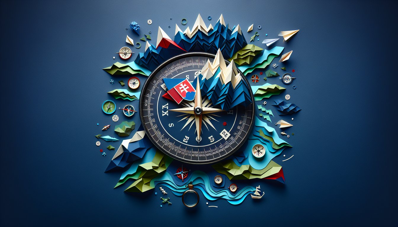
Ready to dive into a comprehensive Slovak geography quiz that challenges your knowledge of Slovakia regions and landmarks? Whether you're a student exploring European geography or a teacher crafting engaging materials, this Slovak Regional Geography Quiz offers detailed questions on topographical features, culture, and regional boundaries. It's structured in our intuitive editor, so you can easily tweak any question to suit your teaching style. Explore similar assessments like the Regional Geography Trivia Quiz or test broader knowledge with the Geography Knowledge Quiz. Discover more quizzes to expand your repertoire and make learning Slovak geography both fun and effective.

What is the capital of the Bratislava region?
Bratislava
Košice
Nitra
Žilina
Bratislava is both the capital city of Slovakia and the administrative center of the Bratislava region.
Which river flows through the capital city of Bratislava?
Danube
Váh
Hron
Morava
The Danube River flows directly through Bratislava, making it a key waterway for trade and transport.
Which mountain range forms the natural border between Slovakia and Poland?
High Tatras
Low Tatras
Sudetes
Carpathians
The High Tatras mountain range lies on the border between Slovakia and Poland, known for its high peaks.
In which region is the historical Trenĝín Castle located?
Trenĝín
Banská Bystrica
Košice
Nitra
Trenĝín Castle overlooks the city of Trenĝín and is one of the region's most famous medieval landmarks.
What climate pattern is characteristic of eastern Slovakia?
Continental
Mediterranean
Maritime
Tropical
Eastern Slovakia experiences a continental climate with hot summers and cold winters, typical of inland regions.
What economic activity is most prevalent in the Nitra region?
Agriculture
Automotive industry
Forestry
Shipping
The Nitra region is known for its fertile plains, making agriculture the dominant economic activity.
The Banská Bystrica region is historically renowned for which industry?
Mining
Textile
Fishing
Technology
Banská Bystrica developed around rich mineral deposits, leading to a strong historical mining industry.
Which river serves as the main tributary to the Danube in Slovakia by length and flow?
Váh
Hron
Ipeľ
Morava
The Váh is the longest river entirely within Slovakia and is the primary tributary of the Danube by volume.
Which feature best characterizes the Low Tatras region?
Ski resorts and national parks
Mediterranean beaches
Urban industrial zones
Tropical forests
The Low Tatras are known for their extensive ski facilities and protected national park areas.
Spiš Castle, a UNESCO World Heritage Site, is located in which Slovak region?
Prešov
Košice
Nitra
Trenĝín
Spiš Castle stands in the Prešov region and is one of the largest castle complexes in Central Europe.
Which Slovak region borders both Hungary and Ukraine?
Košice
Prešov
Nitra
Bratislava
The Košice region lies in southeastern Slovakia and shares borders with both Hungary and Ukraine.
Which industry dominates the modern economy of the Bratislava region?
Services and finance
Mining
Agriculture
Heavy machinery
Bratislava, as the capital region, has a highly developed service sector and financial services industry.
What type of landscape predominates in the Nitra region?
Lowland agricultural plains
Alpine high peaks
Karst limestone
Volcanic plateaus
The Nitra region features flat, fertile plains that are extensively used for agriculture.
Which climate zone applies to the high-altitude Tatra region?
Alpine
Mediterranean
Continental
Maritime
The Tatra mountains have an alpine climate, with cold temperatures and high precipitation at elevation.
Devín Castle, located at the confluence of the Danube and Morava rivers, is a landmark of which region?
Bratislava
Trnava
Žilina
Prešov
Devín Castle sits near Bratislava where the Danube and Morava meet, marking an important historical site.
Which major river flows southward through central Slovakia before joining the Danube?
Hron
Váh
Morava
Ipeľ
The Hron River runs south through central Slovakia and empties into the Danube near Štúrovo.
Which mountain pass was the site of a major World War II battle between Soviet and German forces?
Dukla Pass
Šturec Pass
Zádiel Pass
Príslop Pass
The Battle of Dukla Pass in 1944 was a significant military engagement during WWII on the Slovak-Polish border.
What is the primary economic activity in the Orava basin of the Žilina region?
Hydroelectric power generation
Wine production
Oil extraction
Tropical fruit farming
The Orava basin hosts several hydroelectric plants, making power generation its leading economic activity.
Which mountain chain separates the Nitra and Trenĝín regions?
Považský Inovec
Slovak Ore Mountains
Fatra Mountains
Carpathian Foothills
The Považský Inovec range lies between the Nitra and Trenĝín regions, forming a natural boundary.
Which statement accurately describes differences in precipitation patterns between western and eastern Slovakia?
Western regions have milder winters and more uniform precipitation, while eastern regions have colder winters and more pronounced summer peaks
Eastern regions receive more rainfall year-round than western regions
Western regions have harsher winters and large summer droughts compared to eastern regions
Both regions have identical precipitation patterns due to flat terrain
Western Slovakia benefits from Atlantic influences leading to milder winters and consistent rain, whereas eastern Slovakia has a more continental regime with summer maxima.
0
{"name":"What is the capital of the Bratislava region?", "url":"https://www.quiz-maker.com/QPREVIEW","txt":"What is the capital of the Bratislava region?, Which river flows through the capital city of Bratislava?, Which mountain range forms the natural border between Slovakia and Poland?","img":"https://www.quiz-maker.com/3012/images/ogquiz.png"}

Learning Outcomes

  1. Identify the capital cities of Slovak regions and their key features
  2. Analyse the physical landscapes across Slovakia's regions
  3. Evaluate the cultural and historical significance of regional landmarks
  4. Differentiate economic activities prevalent in each Slovak region
  5. Apply map-reading skills to locate major Slovak rivers and mountains
  6. Demonstrate understanding of regional climate patterns in Slovakia

Cheat Sheet

  1. Capital Cities of Slovakia's Regions - Unlock the vibrant stories behind each regional capital, from the medieval streets of Bratislava to the cozy cafés and majestic castle views. These cities blend history, art, and modern life into every square, making each one a living geography lesson you can explore from your desk. Study In Slovakia - Geography
  2. Study In Slovakia - Geography
  3. Diverse Physical Landscapes - Marvel at Slovakia's contrasts, from the lofty High Tatras peaks to the fertile Danubian Lowland plains that feed the nation. Each terrain tells a geological saga and reveals how landforms shape agriculture, tourism, and local traditions. Slovakia Geography Overview
  4. Slovakia Geography Overview
  5. Cultural & Historical Landmarks - Dive into UNESCO treasures like the Domica Cave, where glittering stalactites and archaeological finds transport you to prehistoric times. These sites blend science with legend, turning your study into an underground adventure. Slovak Karst
  6. Slovak Karst
  7. Regional Economic Activities - Trace the rich mining heritage of areas like the Slovak Ore Mountains, famous for copper and silver that once fueled local prosperity. Understanding these resources shows how geology and human ingenuity have shaped regional economies. Slovak Ore Mountains
  8. Slovak Ore Mountains
  9. Map-Reading Skills - Hone your spatial detective abilities by plotting major rivers like the Váh and mountain chains such as the Slanské Hills on a topographic map. This exercise not only boosts your geography grades but also prepares you for planning epic hiking adventures. Slanské Hills
  10. Slanské Hills
  11. Regional Climate Patterns - Experience Slovakia's continental climate, where snowy winters give way to sunny summers, impacting everything from festivals to farming. Recognizing these seasonal shifts helps you predict weather trends and understand local customs. Study In Slovakia - Geography
  12. Study In Slovakia - Geography
  13. National Park Wonders - Explore protected wonders like Slovak Karst National Park, where dramatic limestone formations host rare plants and animals. Virtual visits to these parks highlight conservation efforts and the importance of safeguarding natural treasures. Slovak Karst National Park
  14. Slovak Karst National Park
  15. Geomorphological Divisions - Break Slovakia down into its geomorphological pieces, such as the Inner Western Carpathians, to see how tectonic forces carved mountains and basins over millions of years. This structural map will help you visualize Earth's slow but mighty transformations. Slovak Central Mountains
  16. Slovak Central Mountains
  17. Rivers as Lifelines - Follow the Danube's winding course and the Váh's energetic flow to grasp how rivers sculpt landscapes and nourish ecosystems. These waterways have shaped trade routes, cultural exchanges, and rich biodiversity along their banks. Slovakia Geography Overview
  18. Slovakia Geography Overview
  19. Geological Formations & Caves - Marvel at the caves of the Slovak Karst, a UNESCO World Heritage site dripping with geological history and hidden chambers. Studying these formations reveals clues about past climates and the slow artistry of mineral growth. Slovak Karst
  20. Slovak Karst
Powered by: Quiz Maker