Unlock hundreds more features
Save your Quiz to the Dashboard
View and Export Results
Use AI to Create Quizzes and Analyse Results

Sign inSign in with Facebook
Sign inSign in with Google

Test Your Iceland Geography Trivia Quiz

Discover Iceland's Stunning Terrain and Landmarks

Difficulty: Moderate
Questions: 20
Learning OutcomesStudy Material
Colorful paper art depicting Iceland geography for a trivia quiz

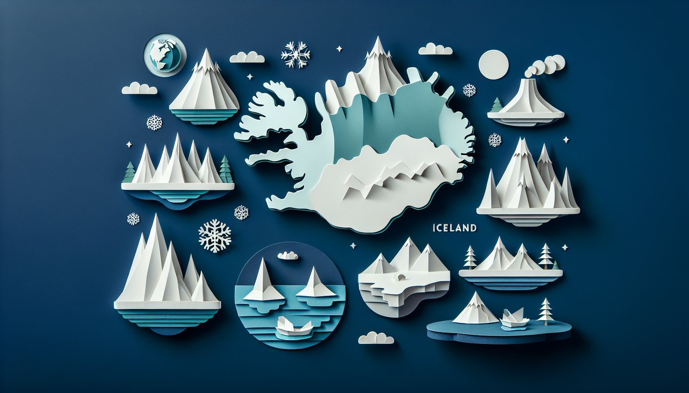
Ready to dive into Iceland geography trivia and discover the secrets of this Nordic island? This engaging geography quiz challenges you with questions on volcanoes, glaciers, and stunning landscapes. Perfect for students, educators, or anyone curious about Iceland's terrain, it offers a fun way to reinforce learning and sharpen map skills. Easily customize the questions in our editor to create a personalized version or explore other Country Geography Trivia Quiz or Travel Geography Trivia Quiz . Browse more quizzes for endless educational fun.

What is the capital city of Iceland?
ReykjavÃk
KeflavÃk
Hafnarfjörður
Akureyri
ReykjavÃk is the capital and largest city of Iceland, serving as the country's political and cultural center. The other options are towns or settlements but not the capital.
Which of these is the largest glacier in Iceland?
Hofsjökull
Vatnajökull
Langjökull
Mýrdalsjökull
Vatnajökull is the largest ice cap in Europe, covering about 8% of Iceland's land area. The other glaciers are significant but much smaller in comparison.
What type of coastal landform characterizes the Westfjords region of Iceland?
Volcanoes
Plateaus
Fjords
Sand dunes
The Westfjords are named for their numerous deep fjords carved by glacial activity and are renowned for their steep inlets. While volcanoes and plateaus exist elsewhere in Iceland, the Westfjords are defined by fjords.
Which geothermal area in southwestern Iceland is famous for its erupting hot springs?
Blue Lagoon
Geysir
Þingvellir
Skaftafell
Geysir is the namesake for geysers worldwide and is located in southwestern Iceland's Haukadalur Valley. The Blue Lagoon is a man-made spa, Þingvellir is a national park, and Skaftafell is a nature reserve.
Which ocean surrounds Iceland?
Arctic Ocean
Pacific Ocean
Atlantic Ocean
Indian Ocean
Iceland is situated in the North Atlantic Ocean between Greenland and mainland Europe. While the Arctic Ocean lies to the north of Greenland, Iceland itself is surrounded by the Atlantic.
Which tectonic boundary runs through Iceland and drives its volcanic activity?
San Andreas Fault
Mid-Atlantic Ridge
Pacific Ring of Fire
Alpine Fault
The Mid-Atlantic Ridge is a divergent plate boundary that crosses Iceland, causing frequent volcanic eruptions and crustal spreading. The other faults and zones are located in different parts of the world.
Which is the largest natural lake in Iceland by surface area?
Þingvallavatn
Skorradalsvatn
Lagarfljót
Kleifarvatn
Þingvallavatn covers about 84 square kilometers, making it Iceland's largest natural lake. The other lakes are significant but considerably smaller.
What is the name of the longest river in Iceland?
Jökulsá á Fjöllum
Þjórsá
à - lfusá
HvÃtá
Þjórsá flows approximately 230 kilometers, making it the longest river in Iceland. The other rivers are important waterways but do not match its length.
Which Icelandic volcano erupted in 2010 and disrupted air travel across Europe?
Hekla
Katla
Eldfell
Eyjafjallajökull
The 2010 eruption of Eyjafjallajökull sent volcanic ash high into the atmosphere, leading to major flight cancellations across Europe. Katla and Hekla are active volcanoes, and Eldfell erupted in 1973.
Which climate zone best describes most of Iceland?
Continental
Subarctic
Mediterranean
Tropical
Iceland's climate is classified as subarctic, featuring cool summers and cold winters moderated by ocean currents. The other climate types do not apply to Iceland's high latitudes and maritime influences.
Which national park straddles a visible tectonic rift between two continental plates?
Þingvellir National Park
Vatnajökull National Park
Snæfellsjökull National Park
Reykjanesfólkvangur
Þingvellir lies on the boundary of the North American and Eurasian plates, where rift valleys are clearly visible. The other parks are known for glaciers or volcanic features but not the plate boundary rift.
What is the primary cause of geothermal hot springs in Iceland?
Surface erosion
Cold ocean currents
Magma heating groundwater
Solar heating
Geothermal springs form when groundwater circulates down to hot magma chambers and returns heated to the surface. Ocean currents, solar energy, or erosion do not generate the necessary subsurface heat.
Which ecosystem, characterized by low-lying shrubs and limited tree growth, covers much of Iceland's interior?
Rainforest
Taiga
Tundra
Desert
The tundra ecosystem features permafrost, short growing seasons, and low vegetation like mosses and shrubs. Taiga forests are absent in central Iceland, and rainforests or deserts do not occur there.
The Westman Islands are located off which coast of Iceland?
North Coast
East Coast
South Coast
West Coast
The Westman Islands (Vestmannaeyjar) lie just off Iceland's southern coast and are of volcanic origin. They are not situated near the other cardinal coasts.
What is the term for a sudden glacial outburst flood caused by volcanic or geothermal activity in Iceland?
Dike
Jökulhlaup
Fjord
Moraine
Jökulhlaup refers to large floods that occur when subglacial volcanic or geothermal heat melts ice rapidly. Fjords, dikes, and moraines are different geomorphic features unrelated to sudden floods.
At approximately which latitude is Iceland located, influencing its extreme seasonal daylight variation?
64°N
50°N
70°N
57°N
Iceland sits around 64°N latitude, just below the Arctic Circle, which gives it long summer days and short winter days. The other latitudes are either too far south or far north for Iceland's position.
How does tectonic rifting shape the central highland plateau of Iceland?
Forms deep fjords
Increases glacial coverage
Causes coastal erosion
Creates fissures and volcanic plateaus
Divergent plates in central Iceland produce fissure swarms and volcanic plateaus as magma rises. Glacial coverage, fjord formation, and coastal erosion occur by other processes.
Which glacial landform found in Iceland is formed by sediments deposited in tunnels beneath glaciers?
Kettle lake
Esker
Cirque
Drumlin
Eskers are long, sinuous ridges of sand and gravel deposited by meltwater streams under glaciers. Drumlins, cirques, and kettle lakes are formed through different glacial mechanisms.
Why do the southern coastal lowlands of Iceland experience milder winters than the northern highlands?
Warm North Atlantic Current moderates temperatures
Higher elevation
Prevailing continental winds
Polar vortex influence
The North Atlantic Current brings warmer water and air, moderating southern coastal winter temperatures. Higher elevation and polar vortex effects make northern highlands colder, and continental winds are less dominant.
Considering Iceland's geothermal gradient, which area is likely to exhibit the highest surface ground temperatures?
East Fjords
Reykjanes Peninsula
North Highlands
Lake Mývatn
The Reykjanes Peninsula overlaps a spreading ridge with active geothermal fields, leading to high ground temperatures. Other regions have geothermal activity but not as intense as Reykjanes.
0
{"name":"What is the capital city of Iceland?", "url":"https://www.quiz-maker.com/QPREVIEW","txt":"What is the capital city of Iceland?, Which of these is the largest glacier in Iceland?, What type of coastal landform characterizes the Westfjords region of Iceland?","img":"https://www.quiz-maker.com/3012/images/ogquiz.png"}

Learning Outcomes

  1. Analyse Iceland's major geographic regions and landforms.
  2. Identify prominent volcanoes, glaciers, and geothermal areas.
  3. Evaluate the impact of tectonic activity on Iceland's landscape.
  4. Demonstrate knowledge of Iceland's climate zones and ecosystems.
  5. Apply map-reading skills to locate Icelandic landmarks.
  6. Master key facts about Iceland's rivers, lakes, and coastlines.

Cheat Sheet

  1. Diverse Geographic Regions - Iceland boasts volcanic wonders like the Snæfellsnes Peninsula in the west and lush birch forests in East Iceland. Exploring these areas helps you appreciate how fiery lava flows create dramatic coastlines while green valleys offer a striking contrast. Embrace each region's unique features to deepen your understanding of Iceland's varied landscapes. Geography of Iceland
  2. Iconic Volcanoes - From Hekla, nicknamed the "Gateway to Hell," to Eyjafjallajökull whose 2010 eruption grounded flights across Europe, Iceland's volcanoes are both powerful and mysterious. Studying these giants reveals the dynamic forces beneath your feet and their impact on global air travel. Feel the thrill of learning how eruptions shape the world. Volcanism of Iceland
  3. Massive Glaciers - Did you know Vatnajökull is the largest glacier in Europe, covering about 8% of Iceland? Langjökull, the second-largest, carves rugged valleys and feeds icy rivers that sculpt the terrain. Understanding glaciers shows you how ice and fire collide to shape this island. Geography of Iceland
  4. Tectonic Forces - Iceland straddles the Mid-Atlantic Ridge, where the North American and Eurasian plates pull apart, and sits above a volcanic hotspot. This powerhouse combination causes frequent earthquakes and eruptions, meaning the landscape is literally still forming today. Dive into plate tectonics to see Earth in action. Iceland Hotspot
  5. Climate Zones - From temperate, mossy coasts to tundra-like highlands, Iceland's climate zones host diverse ecosystems. These variations influence everything from plant life to local livelihoods and folklore. Mapping them helps you connect weather patterns to ecological and human adaptations. Geography of Iceland
  6. Map-Reading Skills - Practice spotting landmarks like Snæfellsjökull volcano and the dramatic Eldgjá canyon on a map to sharpen your geographic literacy. Being able to pinpoint these features builds confidence in navigation and deepens your spatial awareness. Grab a map and start exploring! Snæfellsnes
  7. Major Rivers - Charting rivers like Þjórsá, Iceland's longest, and Jökulsá á Fjöllum, home to the thunderous Dettifoss waterfall, reveals how water shapes the land. These waterways carve canyons, generate hydroelectric power, and support thriving ecosystems. Understanding hydrology is key to Iceland's geography. Iceland Geography Facts and Country Profile
  8. Iconic Lakes - Þingvallavatn, the largest natural lake, hosted the world's oldest parliament, while Lagarfljót hides legends of a mysterious sea serpent. Lakes are where geology and culture meet, offering insight into Iceland's history and environment. Dive into their stories for a well-rounded view. Geography of Iceland
  9. Fjords and Coastlines - Marvel at steep fjords like Hvalfjörður and stroll on black sand beaches formed from cooled lava. These coastal treasures showcase the push-and-pull between volcanic activity and oceanic forces. Studying them highlights Iceland's dramatic coastal beauty. Geography of Iceland
  10. Historic Eruptions - The 1783 Laki eruption released ash clouds that darkened skies and altered climates across Europe. Examining its local effects on agriculture and global impact on weather teaches the incredible power of volcanic events. Understanding these eruptions connects you to Earth's deep history. Volcanism of Iceland
Powered by: Quiz Maker